| Chatterton | |
|---|---|
 St. Philip's Church | |
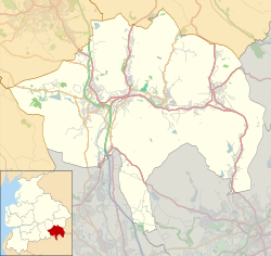 Chatterton Location within Rossendale  Chatterton Location within Lancashire | |
| OS grid reference | SD790184 |
| District | |
| Shire county | |
| Region | |
| Country | England |
| Sovereign state | United Kingdom |
| Post town | BURY |
| Postcode district | BL0 |
| Dialling code | 01706 |
| Police | Lancashire |
| Fire | Lancashire |
| Ambulance | North West |
| UK Parliament | |
Chatterton is a small village in the southern part of the Rossendale Valley in the Rossendale area of Lancashire, England.
Contents
It is half a mile north of Ramsbottom town centre on the A676 between Bolton and Edenfield. For local government purposes, it receives services from Rossendale Borough Council and Lancashire County Council. Nearby are the village of Stubbins and the hamlet of Strongstry. Running alongside the village separating it from Strongstry is the River Irwell.
Much of the land to the west of the village is in the care of the National Trust and consists of hillside pasture and woodland leading up to Holcombe Moor and Peel Monument.
Parkland at Chatterton was given to the people of the district of Ramsbottom as a peace memorial by the Porritt family.