| Stubbins | |
|---|---|
 St. Philip's Church | |
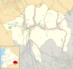 Stubbins Location within Rossendale  Stubbins Location within Lancashire | |
| OS grid reference | SD791179 |
| District | |
| Shire county | |
| Region | |
| Country | England |
| Sovereign state | United Kingdom |
| Post town | BURY |
| Postcode district | BL0 |
| Dialling code | 01706 |
| Police | Lancashire |
| Fire | Lancashire |
| Ambulance | North West |
| UK Parliament | |
Stubbins is an industrial village in the southern part of the Rossendale Valley, in Lancashire, England.