West Point Township | |
|---|---|
 A windmill in southwestern West Point Township | |
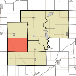 Location in White County | |
| Coordinates: 40°41′26″N87°01′02″W / 40.69056°N 87.01722°W | |
| Country | United States |
| State | Indiana |
| County | White |
| Government | |
| • Type | Indiana township |
| Area | |
• Total | 53.6 sq mi (139 km2) |
| • Land | 53.53 sq mi (138.6 km2) |
| • Water | 0.07 sq mi (0.18 km2) 0.13% |
| Elevation | 720 ft (220 m) |
| Population (2020) | |
• Total | 357 |
| • Density | 6.67/sq mi (2.57/km2) |
| ZIP codes | 47929, 47980, 47995 |
| GNIS feature ID | 454049 |
West Point Township is one of twelve townships in White County, Indiana, United States. As of the 2020 census, its population was 357 and it contained 136 housing units. [1]
Contents
- Geography
- Adjacent townships
- Cemeteries
- School districts
- Political districts
- References
- External links
West Point Township was organized in 1845, and was named for a large tract of forest in the western part. [2]
| Census | Pop. | Note | %± |
|---|---|---|---|
| 1890 | 905 | — | |
| 1900 | 960 | 6.1% | |
| 1910 | 922 | −4.0% | |
| 1920 | 875 | −5.1% | |
| 1930 | 824 | −5.8% | |
| 1940 | 746 | −9.5% | |
| 1950 | 672 | −9.9% | |
| 1960 | 689 | 2.5% | |
| 1970 | 494 | −28.3% | |
| 1980 | 430 | −13.0% | |
| 1990 | 418 | −2.8% | |
| 2000 | 371 | −11.2% | |
| 2010 | 381 | 2.7% | |
| 2020 | 357 | −6.3% | |
| Source: US Decennial Census [3] | |||
