Related Research Articles

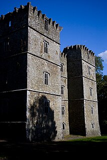
Kanturk is a town in the north west of County Cork, Ireland. It is situated at the confluence of the Allua (Allow) and Dallow (Dalua) rivers, which stream further on as tributaries to the River Blackwater. It is about 50 kilometres from Cork, Blarney and Limerick, and lies just north of the main N72 road, 15 km from Mallow and about 40 km from Killarney. Kanturk is within the Cork North-West Dáil constituency.

Riverstown, historically called Ballyederdaowen, is a village in County Sligo, Ireland. Known for its musical tradition it is located at a bridging point of the River Unshin (Arrow), 17.2 km south of Sligo town and 4 km east of the N4 road.

Drumone is a small village and townland in western County Meath, Ireland.

Brosna is a small village in County Offaly, Ireland. It lies in the valley of the Little Brosna River less than one kilometer off the N62 national secondary road. Farms and a plumbing business operate in the area.

Rossnaree is a small village and townland in County Meath, Ireland, on the south bank of the River Boyne. The Brú na Bóinne complex of neolithic monuments is nearby, on the north bank of the Boyne. Rossnaree commands a ford that was used by the Williamites at the Battle of the Boyne in 1690. The walls of the mill at Rosnaree once contained a Sheela na Gig, although this has been removed for safekeeping and is in private possession.

Donaghpatrick is a village and townland in County Meath, Ireland. It lies approximately 5 km northwest of Navan off the R147 regional road between Navan and Kells on the northern bank of the River Blackwater. The Irish language name of the townland, Domhnach Phádraig, means "the church of Patrick". The local Church of Ireland church, dedicated to Saint Patrick, was built in 1896 close to the site of a much earlier church, and incorporating parts of a medieval tower house.

The Little Brosna River rises near Dunkerrin, County Offaly, Ireland. It flows for 36 miles before joining the River Shannon.
The Ballyfinboy River rises close to Moneygall in County Offaly, Ireland and flows in a generally northwesterly direction into Lough Derg at Drominagh. It forms part of the boundary between County Tipperary and County Offaly. The river flows through the towns of Cloughjordan and Borrisokane west of which it flows past Ballyfinboy Castle, a ruined tower house with a Sheela na gig in the townland of Ballyfinboy.

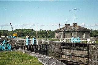
Victoria Lock, also known as Meelick Lock, is the first lock on the River Shannon upstream of Lough Derg, it is situated between Meelick, County Galway and Clonahenoge, County Offaly where the Little Brosna River enters the Shannon. It is very near the tripoint where the provinces of Munster, Leinster and Connacht meet. The lock is of architectural and technical interest and is listed on the Nation Inventory of Architectural Heritage, the dimensions are 142 ft x 40 ft. Thomas Rhodes on the instructions of the Shannon Commissioners constructed the lock in the 1840s as part of a widescale upgrade of the Shannon Navigation. The lock is still in use today by pleasure craft, both private and fleets of rental cruisers who use the River Shannon and the connecting canals. A second lock, Hamilton Lock is also located nearby but is now disused.
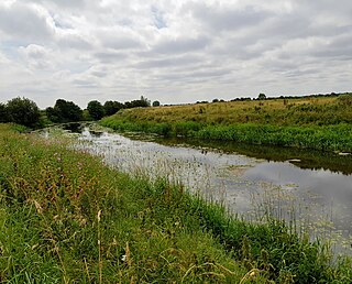
The River Blackwater, also called the Enfield Blackwater, or Kildare Blackwater is a river that flows through the counties of Kildare and Meath in Ireland. It is a tributary of the River Boyne which flows into the Irish Sea at Drogheda.

The Kells Blackwater, also called the River Blackwater or Leinster Blackwater, is a river that flows through the counties of Cavan and Meath in Ireland. It is a tributary of the River Boyne which flows into the Irish Sea at Drogheda..

Clonahenoge is a townland in County Offaly, Ireland. It is located at the confluence of the Little Brosna River and the River Shannon.

The Nenagh River rises in the Silvermine Mountains in County Tipperary, Ireland. It flows east of Nenagh and into Lough Derg just north of Dromineer.

The Jamestown Canal bypasses a non-navigable section of the River Shannon between Jamestown and Drumsna in Ireland. The canal is 2.6 km in length and is located in County Roscommon. The Shannon Commissioners constructed the canal in 1848 to replace an earlier, smaller canal as part of a widescale upgrade of the Shannon Navigation.
Sharavogue is a townland in the historical Barony of Clonlisk, County Offaly, Ireland. It is a rural area located around the junction of the N52 road and the R492 between Roscrea and Birr. The Little Brosna River flows under Sharavogue bridge.

The Figile River is a river in eastern Ireland.

The River Ara is a river in County Tipperary, Ireland.

Carlanstown is a village and townland in County Meath, Ireland. It is located approximately 4 km northeast of the larger town of Kells, County Meath on the N52 road. As of the 2016 census, there were 664 people living in the village.

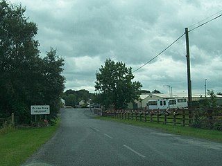
Belmont is a village in County Offaly, Ireland.

Castlejordan is a village and townland in County Meath, Ireland. It is located in the south of the county, close to the border with County Offaly, to the south of Kinnegad. The townland of Castlejordan has an area of approximately 2.2 square kilometres (0.85 sq mi), and had a population of 85 people as of the 2011 census.
References
- ↑ "HydroNet - Environmental Protection Agency - Ireland". hydronet.epa.ie. Retrieved 5 July 2015.
- ↑ "Garr Bridge, County Offaly: Buildings of Ireland: National Inventory of Architectural Heritage". buildingsofireland.ie. Retrieved 12 July 2015.
- ↑ "Sheep Bridge, County Offaly: Buildings of Ireland: National Inventory of Architectural Heritage". buildingsofireland.ie. Retrieved 12 July 2015.
- ↑ "Clongall Bridge, County Offaly: Buildings of Ireland: National Inventory of Architectural Heritage". buildingsofireland.ie. Retrieved 12 July 2015.
- ↑ "Fishing in Ireland. An angler's guide to the best fishing in Ireland". fishinginireland.info. Retrieved 5 July 2015.
