Related Research Articles

Route 24 is a 10.42-mile (16.77 km) state highway in New Jersey, United States, that begins at a junction with Interstate 287 (I-287) in Hanover Township in Morris County, passes southeast through Essex County, and ends at a junction with I-78 in Springfield Township in Union County. The route is a four- to six-lane freeway for its entire length.

A concurrency in a road network is an instance of one physical roadway bearing two or more different route numbers. When two roadways share the same right-of-way, it is sometimes called a common section or commons. Other terminology for a concurrency includes overlap, coincidence, duplex, triplex, multiplex, dual routing or triple routing.

Interstate 76 (I-76) is an east–west Interstate Highway in the Eastern United States. The highway runs approximately 435 miles (700 km) from an interchange with I-71 west of Akron, Ohio, east to I-295 in Bellmawr, New Jersey. This route is not contiguous with I-76 in Colorado and Nebraska.

Interstate 395 (I-395) is an auxiliary Interstate Highway in the U.S. states of Connecticut and Massachusetts; it is maintained by the Connecticut Department of Transportation (CTDOT) and the Massachusetts Department of Transportation (MassDOT). Spanning nearly 67 miles (108 km) on a south–north axis, it is the only spur route of I-95 in Connecticut. The 36-mile (58 km) section between its splits from I-95 in East Lyme and Connecticut Route 695 in Plainfield is a component highway of the Connecticut Turnpike. Within that state, the highway is named the American Ex-Prisoner of War Memorial Highway from Plainfield to Thompson.
In January 1930, the U.S. state of New York implemented a major renumbering of its state highways. Many previously existing numbered routes were renumbered or realigned. At the same time, many state highways that were previously unnumbered received designations. Most of the highways with numbers in the 100s to 300s were assigned at this time. Route numbers were assigned in clusters based on their general location. Because some of these route numbers are no longer in use, the pattern of clusters is not fully apparent today.
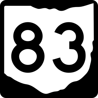
State Route 83 is a north–south state highway in the U.S. state of Ohio. Its southern terminus is near the town of Beverly at State Route 60, and its northern terminus is overlooking Lake Erie at U.S. Route 6 in Avon Lake. A portion of SR 83 is part of the Morgan County Scenic Byway.
In early July 1927, the Ohio Department of Highways implemented the system of United States Numbered Highways that had been approved by the states in late 1926. This resulted in the renumbering of many of the state highways to avoid overlaps with the new U.S. Routes and numbers used by both classes of route. In addition to the U.S. Routes, a new State Route 6 was formed, extending West Virginia Route 6 northwest from the Ohio River at Bridgeport to Norwalk.

State Route 571 is an east–west state highway in west-central Ohio, part of a statewide road transportation system. It indirectly connects the cities of Union City and Greenville with Springfield via a final 10.7 miles (17.2 km) on U.S. Route 40.

State Route 72 (SR-72) is a 35.393-mile-long (56.960 km) state highway in the U.S. state of Utah. The current alignment is an extension of SR-10. The highway provides access to Loa from Interstate 70 (I-70).
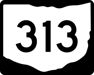
State Route 313 is a 34.38-mile (55.33 km) long east–west state highway located in the southeastern portion of the U.S. state of Ohio. The western terminus of SR 313 is at a T-intersection with SR 146 approximately 9.50 miles (15.29 km) northwest of the village of Cumberland. Its eastern terminus is near the eastern end of Senecaville Lake at a T-intersection with SR 147 nearly 3.50 miles (5.63 km) southwest of Batesville.
The following is a list of former state routes in Pennsylvania. These roads are now either parts of other routes or no longer carry a traffic route number. This list also includes original routes of numbers that were decommissioned and later reactivated in other locations in which most of these are still active today.

State Route 541 is a 52.28-mile-long (84.14 km) state highway in central Ohio. The route's western terminus is US 62 in Martinsburg and its eastern terminus is at exit 54 of I-77 in Liberty Township.
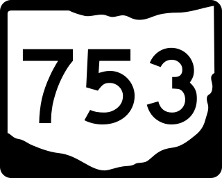
State Route 753 is a state highway in Ohio. The route is 35.35 miles (56.89 km) long and is located in eastern Highland County and southeastern Fayette County. The route's southern terminus is at an intersection with SR 41 in Brush Creek Township and its northern terminus is at an intersection with U.S. Route 62 and SR 3 on the border of Washington Court House and Union Township.
References
- ↑ Ohio Department of Highways (1962). Ohio Official Highway Map (PDF) (Map). c. 1:563,200. Columbus: Ohio Department of Highways. "Change in Route Numbers" message to left of map legend. OCLC 5673562, 7444243.