
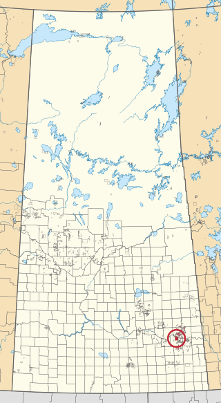
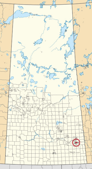
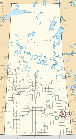
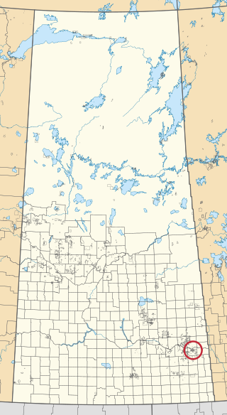
Division No. 5 is one of eighteen census divisions in the province of Saskatchewan, Canada, as defined by Statistics Canada. It is located in the east-southeastern part of the province, bordering Manitoba. The most populous community in this division is Melville.

Broadview is a community in Saskatchewan along the Highway 1, the Trans-Canada Highway, 155 kilometres (96 mi) east of Regina. The local economy is based mainly on agriculture. It is also the administrative headquarters of the Rural Municipality of Elcapo No. 154

Cowessess First Nation is a Saulteaux First Nations band government in southern Saskatchewan, Canada. The band's main reserve is Cowessess 73, one of several adjoining Indigenous communities in the Qu'Appelle Valley. The band also administers Cowessess 73A, near Esterhazy, and Treaty Four Reserve Grounds 77, which is shared with 32 other bands.
CIBC-FM is a low-power Type B Native radio station which provides First Nations community radio programming on the frequency of 98.1 MHz/FM in Cowessess, Saskatchewan, Canada. The station is owned by Cowessess Community Projects Inc., which received approval from the CRTC on May 9, 2012. In the application, the station said that it would broadcast at least ten hours a week in Cree, with the remainder of its programming in English.
Crooked Lake is a recreational lake located in the south-eastern region of the Canadian province of Saskatchewan. It is part of a chain of lakes in the Qu'Appelle Valley and, like many of the other lakes in the valley, there's a dam at the eastern end that controls water levels.

The Treaty Four Reserve Grounds 77 are an Indian reserve in Saskatchewan, Canada, shared by 33 band governments from Saskatchewan and Manitoba. The Reserve Grounds are located adjacent to and west of Fort Qu'Appelle. In the 2016 Canadian Census, they recorded a population of 15 living in 6 of their 8 total private dwellings.

Amiskosakahikan 210 is an Indian reserve of the Peter Ballantyne Cree Nation in Saskatchewan. It is 11 kilometres southwest of Creighton.

Budd's Point 20D is an Indian reserve of the Cumberland House Cree Nation in Saskatchewan. It is 85 kilometres south of Flin Flon.

Shesheep 74A is an Indian reserve of the Zagime Anishinabek in Saskatchewan. It is on the left bank of the Qu'Appelle River, at the west end of Crooked Lake. In the 2016 Canadian Census, it recorded a population of 111 living in 56 of its 179 total private dwellings. In the same year, its Community Well-Being index was calculated at 81 of 100, compared to 58.4 for the average First Nations community and 77.5 for the average non-Indigenous community.
Cowessess 73 is an Indian reserve of the Cowessess First Nation in Saskatchewan. It is 13 kilometres (8.1 mi) north-west of Broadview. In the 2016 Canadian Census, it recorded a population of 540 living in 190 of its 214 total private dwellings. In the same year, its Community Well-Being index was calculated at 63 of 100, compared to 58.4 for the average First Nations community and 77.5 for the average non-Indigenous community.

Kahkewistahaw 72 is an Indian reserve of the Kahkewistahaw First Nation in Saskatchewan. It is 13 kilometres north of Broadview. In the 2016 Canadian Census, it recorded a population of 502 living in 146 of its 184 total private dwellings. In the same year, its Community Well-Being index was calculated at 58 of 100, compared to 58.4 for the average First Nations community and 77.5 for the average non-Indigenous community.
Ochapowace 71 is an Indian reserve of the Ochapowace Nation in Saskatchewan. It is 8 kilometres northeast of Broadview. In the 2016 Canadian Census, it recorded a population of 426 living in 126 of its 138 total private dwellings. In the same year, its Community Well-Being index was calculated at 61 of 100, compared to 58.4 for the average First Nations community and 77.5 for the average non-Indigenous community.

Ochapowace 71-7 is an Indian reserve of the Ochapowace Nation in Saskatchewan. It is 11 kilometres northeast of Dubuc. In the 2016 Canadian Census, it recorded a population of 0 living in 0 of its 0 total private dwellings.

Ochapowace 71-10 is an Indian reserve of the Ochapowace Nation in Saskatchewan. It is 16 kilometres northeast of Whitewood. In the 2016 Canadian Census, it recorded a population of 0 living in 0 of its 0 total private dwellings.

Ochapowace 71-18 is an Indian reserve of the Ochapowace Nation in Saskatchewan. It is 14 kilometres northwest of Esterhazy. In the 2016 Canadian Census, it recorded a population of 0 living in 0 of its 0 total private dwellings.
Ochapowace 71-44 is an Indian reserve of the Ochapowace Nation in Saskatchewan. It is 16 kilometres northwest of Esterhazy. In the 2016 Canadian Census, it recorded a population of 0 living in 0 of its 0 total private dwellings.

Ochapowace 71-51 is an Indian reserve of the Ochapowace Nation in Saskatchewan. It is 6 kilometres south of Atwater. In the 2016 Canadian Census, it recorded a population of 0 living in 0 of its 0 total private dwellings.
Ochapowace 71-54 is an Indian reserve of the Ochapowace Nation in Saskatchewan. It is 16 kilometres southeast of Bird's Point. In the 2016 Canadian Census, it recorded a population of 0 living in 0 of its 0 total private dwellings.

Ochapowace 71-70 is an Indian reserve of the Ochapowace Nation in Saskatchewan. It is 14 kilometres south of Whitewood. In the 2016 Canadian Census, it recorded a population of 0 living in 0 of its 0 total private dwellings.

Sakimay 74 is an Indian reserve of the Zagime Anishinabek in Saskatchewan. It is 16 kilometres northwest of Broadview. In the 2016 Canadian Census, it recorded a population of 147 living in 46 of its 170 total private dwellings. In the same year, its Community Well-Being index was calculated at 52 of 100, compared to 58.4 for the average First Nations community and 77.5 for the average non-Indigenous community.

