Crossett, Arkansas | |
|---|---|
 Crossett Municipal Building | |
| Nickname: Forestry Capital of the South [1] | |
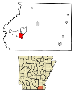 Location of Crossett in Ashley County, Arkansas. | |
| Coordinates: 33°07′29″N91°57′38″W / 33.12472°N 91.96056°W | |
| Country | United States |
| State | Arkansas |
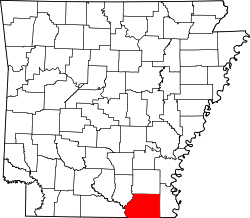
| County | Ashley |
| Area | |
• Total | 5.96 sq mi (15.44 km2) |
| • Land | 5.79 sq mi (15.00 km2) |
| • Water | 0.17 sq mi (0.43 km2) |
| Elevation | 167 ft (51 m) |
| Population (2020) | |
• Total | 4,822 |
• Estimate (2024) | 4,506 |
| • Density | 832.4/sq mi (321.41/km2) |
| Time zone | UTC-6 (Central (CST)) |
| • Summer (DST) | UTC-5 (CDT) |
| ZIP code | 71635 |
| Area code | 870 |
| FIPS code | 05-16240 |
| GNIS feature ID | 2404159 [3] |
| Website | www |
Crossett is the largest city in Ashley County, Arkansas, United States, with a population of 4,822 in 2020. [4] Combined with North Crossett and West Crossett, the population is 8,722. Crossett was incorporated in 1903.
Contents
There are four properties on Main Street in Crossett listed on the National Register of Historic Places, as well as the Crossett Experimental Forest, located 7 mi (11 km) south.