Deeragun Townsville, Queensland | |||||||||||||||
---|---|---|---|---|---|---|---|---|---|---|---|---|---|---|---|
Coordinates | 19°14′57″S146°40′36″E / 19.2491°S 146.6766°E | ||||||||||||||
Population | 4,250 (2016 census) [1] | ||||||||||||||
• Density | 599/km2 (1,550/sq mi) | ||||||||||||||
Postcode(s) | 4818 | ||||||||||||||
Area | 7.1 km2 (2.7 sq mi) | ||||||||||||||
Time zone | AEST (UTC+10:00) | ||||||||||||||
Location | 16.5 km (10 mi) from Townsville CBD | ||||||||||||||
LGA(s) | City of Townsville Division 1 | ||||||||||||||
State electorate(s) | Hinchinbrook | ||||||||||||||
Federal division(s) | Herbert | ||||||||||||||
|
Deeragun is an outer western town and suburb of Townsville in the City of Townsville, Queensland, Australia. [2] [3] In the 2016 census, Deeragun had a population of 4,250 people. [1]
Deeragun is located approximately 16.5 kilometres (10.3 mi) west of the Townsville CBD. Deeragun is mainly a residential and rural-residential suburb characterised by the hill at Innes Estate and the Saunders Creek nature strip.
The Bruce Highway runs through from south to north-west. Deeragun is bounded to the north by the North Townsville Road (former Bruce Highway) and North Coast railway line, by Veale Street to the north-west and Saunders Creek to the south-west. [4]
Deeragun is a relatively new suburb, being developed in the 1990s. The suburb is laid out around the old school and Nightjar Railway Station with much of the original residential development built by the Housing Commission. The origin of the name Deeragun is unrecorded. [3] [5]
St Anthony's Catholic School opened inn 1992. [6]
St Anthony's Catholic College (secondary campus) opened on 24 January 2005. [6]
As at 2011 census the population of Deeragun was 3,525 people. [7]
Northern Beaches State High School opened on 28 January 1997. [6]
In the 2016 census, Deeragun had a population of 4,250 people. [1]
The suburb contains the Woodlands Centro shopping complex that provides Northern Beaches residents access to a supermarket, a post office, several fast food outlets, medical and veterinary services, some recreational businesses and fuel service stations. Additional shopping and restaurant amenities have been in various stages of construction since 2011.
A police station, Community Recreation Hall, a few churches and Woodlands Skate Park are also located in Deeragun.
The Townsville City Council operates a mobile library service which visits the North Townsville Community Hub at Deeragun on Monday mornings. [8]
The Bruce Highway borders Deeragun to the north. It is at Deeragun where the Bruce Highway becomes a dual lane carriageway for the first time when approaching Townsville from the north. The Townsville Ring Road is a high-speed bypass road for traffic between Deeragun and Bohle Plains suburbs. [9]
Hermit Park Bus Service connects Deeragun with Townsville by providing through its "Route 33" a direct bus route to the Aitkenvale and Townsville CBD bus exchanges. [10] Route 33 is part of the Department of Transport and Main Roads qconnect initiative and also has a major stop in Bushland Beach.
The taxi service as an alternative form of public transport is also available in Deeragun. This service is operated by Townsville Taxis.
Deeragun is approximately 13.5 kilometres (8.4 mi) from Townsville Airport.
St Anthony's Catholic College is a Catholic primary (Prep-6) and secondary (7-12) school at the corner Veales Road and Joanne Street for boys and girls at Veales Road ( 19°14′38″S146°39′12″E / 19.2438°S 146.6534°E ). [11] [12] In 2017, the school had an enrolment of 1,236 students with 92 teachers (89 full-time equivalent) and 76 non-teaching staff (51 full-time equivalent). [13]
Northern Beaches State High School is a government secondary (7-12) school for boys and girls at Meranti Street ( 19°14′52″S146°40′25″E / 19.2479°S 146.6735°E ). [11] [14] In 2017, the school had an enrolment of 760 students with 69 teachers (67 full-time equivalent) and 43 non-teaching staff (28 full-time equivalent). [13] It includes a special education program. [11]
There is no government primary school in the suburb; the nearest is Bohlevale State School just across the Bruce Highway in Burdell. [4]
Additionally, there is a number of child care facilities available in the suburb.
Annandale is a suburb of Townsville in the City of Townsville, Queensland, Australia. In the 2016 census, Annandale had a population of 8,574 people.
Douglas is a suburb of Townsville in the City of Townsville, Queensland, Australia. In the 2016 census, Douglas had a population of 7,744 people.
Wulguru is an outer southern suburb of Townsville in the City of Townsville, Queensland, Australia. In the 2016 census, Wulguru had a population of 4,570 people.
West End is an inner suburb of Townsville in the City of Townsville, Queensland, Australia. In the 2016 census, West End had a population of 4,064 people.
South Townsville is a coastal suburb of Townsville in the City of Townsville, Queensland, Australia. In the 2016 census, South Townsville had a population of 2,353 people.
Rowes Bay is a suburb of Townsville in the City of Townsville, Queensland, Australia. In the 2016 census, Rowes Bay had a population of 573 people.
Bushland Beach is a coastal suburb in the northern beaches area of Townsville in the City of Townsville, Queensland, Australia. In the 2016 census Bushland Beach had a population of 6,181 people.
North Ward is a coastal suburb of Townsville in the City of Townsville, Queensland, Australia. In the 2016 census, North Ward had a population of 5,065 people.
Bluewater is a town and coastal suburb in the City of Townsville, Queensland, Australia. In the 2016 census the suburb of Bluewater had a population of 1,040 people.
Saunders Beach is a coastal town and suburb of Townsville in the City of Townsville, Queensland, Australia. In the 2016 census, the suburb of Saunders Beach had a population of 409 people.
Toolakea is a coastal town and suburb in the City of Townsville, Queensland, Australia. In the 2016 census, Toolakea had a population of 205 people.
Rollingstone is a rural town and coastal locality in the City of Townsville, Queensland, Australia. In the 2016 census, the locality of Rollingstone had a population of 125 people.
Currajong is a suburb in the City of Townsville, Queensland, Australia. In the 2016 census, Currajong had a population of 2,548 people.
Jensen is a suburb in the City of Townsville, Queensland, Australia. In the 2016 census Jensen had a population of 1,476 people.
Cosgrove is a suburb of Townsville in the City of Townsville, Queensland, Australia. In the 2016 census, Cosgrove had a population of 285 people.
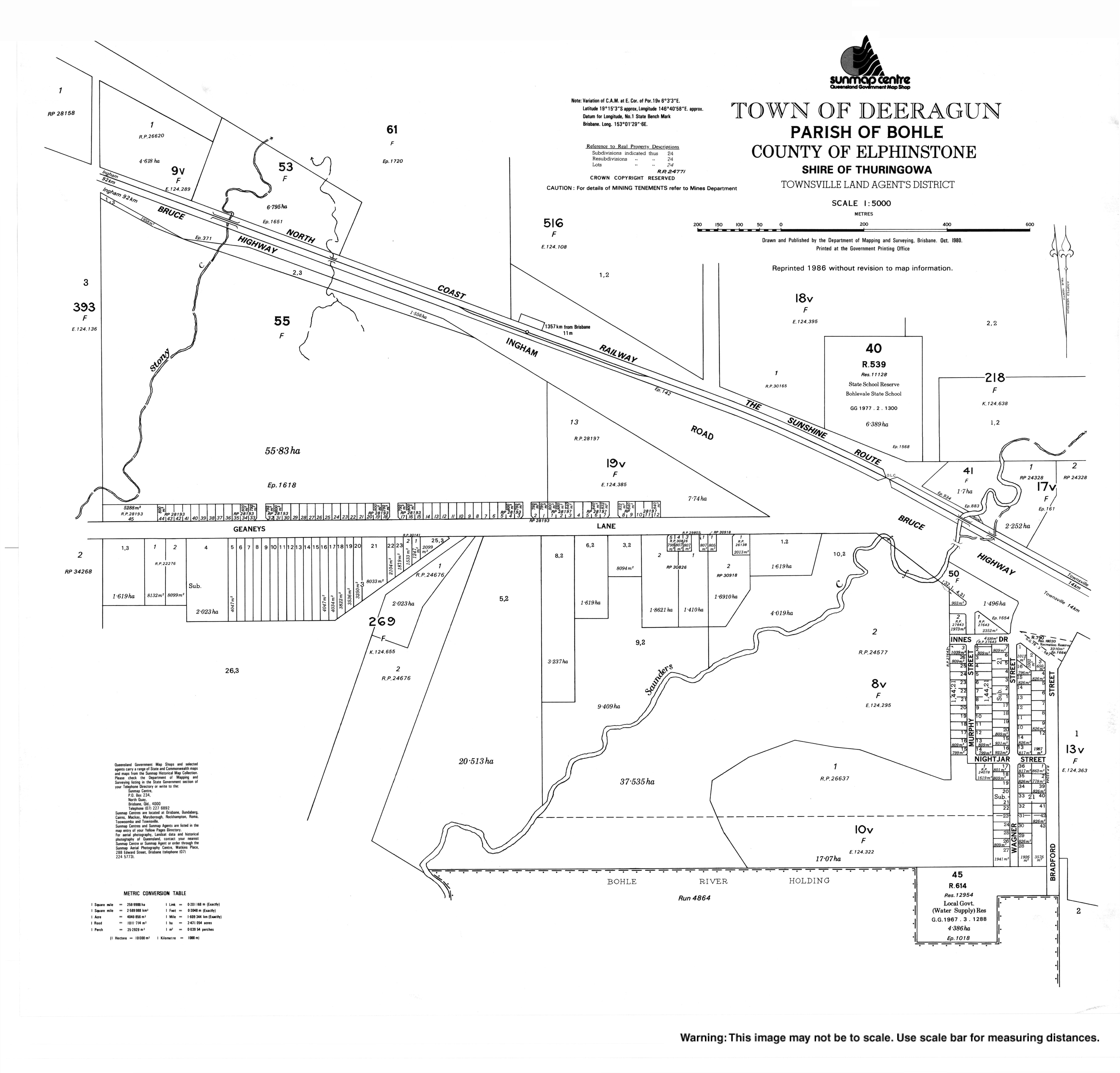
Bohle is a northern suburb in the City of Townsville, Queensland, Australia. In the 2016 census, Bohle had a population of 85 people.
Mount Low is a suburb of Townsville in the City of Townsville, Queensland, Australia. In the 2016 census, Mount Low had a population of 4,655 people.
Beach Holm is a coastal locality in the City of Townsville, Queensland, Australia. In the 2016 census Beach Holm had a population of 32 people.
Burdell is a suburb of Townsville in the City of Townsville, Queensland, Australia. In the 2016 census Burdell had a population of 5,814 people.
Clemant is a rural coastal locality in the City of Townsville, Queensland, Australia. In the 2021 census, Clemant had a population of 13 people.