There is a substation at Woodstock to boost power to the area and it feeds into the Kelso substation in the Upper Ross area of Townsville.
History
The town takes its name from the Woodstock pastoral run, which was named in 1863, by Mark Watt Reid, station manager for pastoralist John Melton Black.[2]
Woodstock Provisional School opened in September 1890. On 1 January 1909, it became Woodstock State School.[4][5] The preschool burnt down around Christmas 2004.[citation needed] In 2015, Woodstock State School celebrated its 125th anniversary.[6]
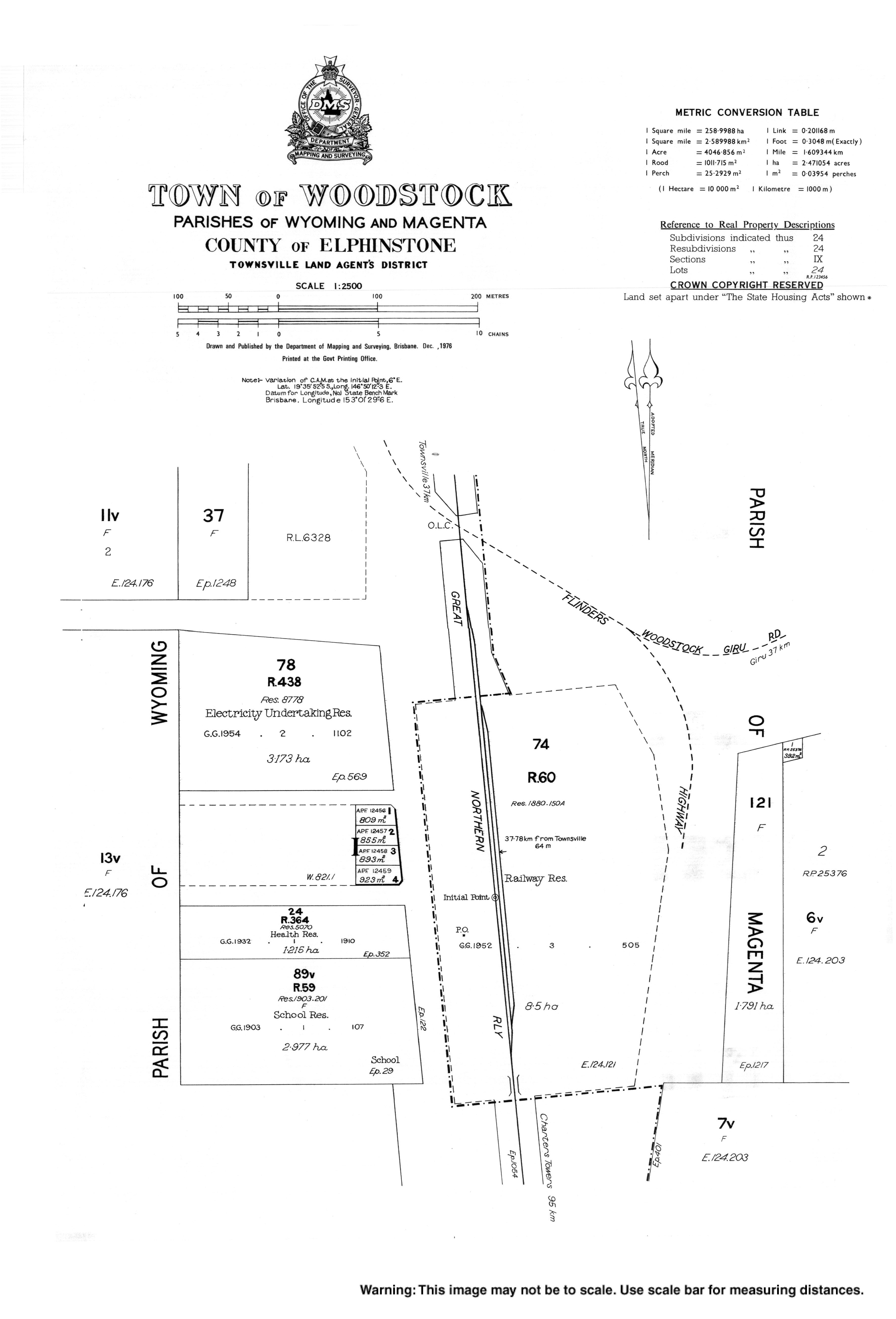
Manton Provisional School opened on 1 October 1903. In 1908, it reported an average daily attendance of 11.8 students.[7] It become Manton State School on 1 January 1909. In 1920, it began to operate as a half-time school in conjunction with Toonpan Provisional School (meaning one teacher was shared between the two schools). It returned to full-time school status in 1923. Due to low student numbers, it closed in October 1924, but reopened in 1928, closing again in 1930. The school reopened in 1934 with 14 students.[8][9][10] It closed permanently on 18 August 1946 .[11][12] The school was on a 5-acre (2.0ha) site at 4073 Burdekin Highway (now Flinders Highway, 19°39′12″S146°50′12″E / 19.65338°S 146.83664°E / -19.65338; 146.83664 (Manton State School (former))).[13][14][15][16]
Woodstock and its large surrounding area was in Thuringowa until 1997 when a change in local government boundaries resulted in this part of Thuringowa being incorporated into City of Townsville.
Demographics
In the 2016 census, the locality of Woodstock had a population of 239 people.[17]
In the 2021 census, the locality of Woodstock had a population of 270 people.[1]
Facilities
The Woodstock General Store is the local shop, cafe, news agent, service station, bank and post office. There is also a service station situated at neighbouring Calcium.As of 2024 the Woodstock Store is no longer open
The Woodstock branch of the Queensland Country Women's Association meets at the QCWA Hall at 42 Woodstock Avenue.[18] The QCWA Hall is used for many other functions like stalls and markets to bingo and parties.
Woodstock is home to many types of sports, from the Woodstock Horse Sports, Motocross and off-road track, to a rifle club, and dog show events held at a dedicated site next to the sports and recreation club.
The Woodstock Sport and Recreational Club is used on Friday nights as a bar. The Woodstock Motocross track holds events most weekends and is well known in Queensland.[23] There is also sky diving or flight-seeing tours.
The area has been nominated as a site for a future motorsports precinct.
Transport
Woodstock's main center is located on the Flinders Highway where the Woodstock–Giru Road and the old Flinders Highway meet the current Flinders Highway.
Local school buses run from Reid River to Woodstock and from Toonpan to Woodstock during schools days taking the local children to the Woodstock School and another local bus runs from Reid River to William Ross High School (Townsville) for the High school Children.
Woodstock has its own airport, listed as Woodstock Airport it is better known as Donnington Airpark. The area supports a number of private airstrips.
The Western rail line bisects the area (the line between Townsville and Mount Isa). The area is also dissected by gas and water pipelines.
Mining
Calcium is the name of a suburb in the Woodstock area and is the main industry site of the area, they mine limestone.[citation needed]
↑ "State Schools". The Evening Telegraph. Vol.8, no.2223. Queensland, Australia. 4 August 1908. p.3. Retrieved 6 June 2025– via National Library of Australia.
↑ "NEW RESERVES". The Brisbane Courier. Vol.LIX, no.14, 022. Queensland, Australia. 20 December 1902. p.10. Retrieved 6 June 2025– via National Library of Australia.
Woodstock State School centenary, 1890-1990 : including Manton, Reid River & Toonpan schools. Woodstock Centenary Committee. 1990. ISBN0646008374. — via State Library of Queensland
This page is based on this Wikipedia article Text is available under the CC BY-SA 4.0 license; additional terms may apply. Images, videos and audio are available under their respective licenses.

