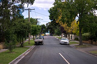
Kew is a suburb of Melbourne, Victoria, Australia, found 5 km east from Melbourne's Central Business District. Kew is located within the City of Boroondara local government area. Kew recorded a population of 24,499 at the 2021 census.
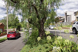
Kew East, also known as East Kew, is a suburb of Melbourne, Victoria, Australia, 8 km (5.0 mi) east from the Melbourne central business district, located within the City of Boroondara local government area. Kew East recorded a population of 6,620 at the 2021 census.
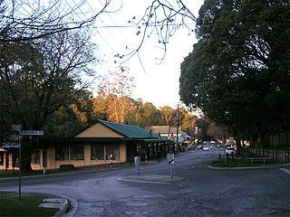
Olinda is a town within the Dandenong Ranges in central-south Victoria, Australia, located 41 km (25 mi) east of Melbourne's CBD, located within the Shire of Yarra Ranges local government area. Olinda recorded a population of 1,773 at the 2021 census.
Waurn Ponds is a mainly residential southern suburb of Geelong, Victoria, Australia.
Lara is a town in Victoria, 18 km north-east of the Geelong CBD, inland from the Princes Freeway to Melbourne. Its population at the 2021 census was 19,014.
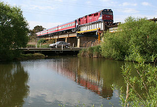
Fyansford is a township on the western edge of Geelong, Victoria, Australia, named after Captain Foster Fyans who came to Geelong as a Police magistrate in October, 1837. It is located at the junction of the Barwon and Moorabool rivers. At the 2016 census, Fyansford had a population of 196.
Breakwater is a residential and industrial suburb of Geelong, Victoria, Australia, located on the Barwon River, 4 km south-south-east of the Geelong central business district. At the 2016 census Breakwater had a population of 1,014. Breakwater is home to the Geelong Racing Club, Geelong Racecourse and the Geelong Showgrounds.
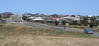
Leopold is a residential eastern suburb of Geelong and is a gateway to the Bellarine Peninsula in the Australian state of Victoria. At the 2016 census, Leopold had a population of 12,814.
Manifold Heights is a residential suburb of Geelong. At the 2016 census, Manifold Heights had a population of 2,649.

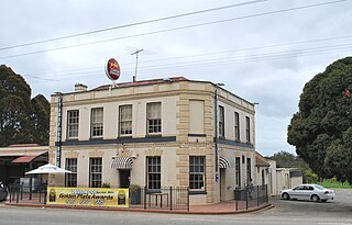
Geelong West is a commercial and residential suburb of Geelong, Victoria, Australia. When Geelong was founded, the area was known as Kildare but its name was changed to Geelong West in 1875. The main street is Pakington Street. At the 2016 census, Geelong West had a population of 6,966.
Newtown is an inner western suburb of Geelong, Victoria, Australia. At the 2021 census, Newtown had a population of 10,445. It is a primarily residential area occupying one of the highest points of urban Geelong. It has always been a desirable place of residence and is the location of many of Geelong's oldest and most valuable properties.
St. Albans Park is a residential suburb of Geelong, Victoria, 6 km southeast from Geelong's city centre. It is bounded by Boundary Road (West), Coppards Road (East), Townsend Road (North) and the Barwon River (South). The suburbs that surround it are Whittington, Breakwater, Moolap and Marshall. The suburb extends around the St. Albans Homestead and stud, a historic house and accompanying stables. At the 2021 census, St. Albans Park had a population of 4,942.
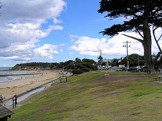
Point Lonsdale is a town on the Bellarine Peninsula, near Queenscliff, Victoria, Australia. The town is divided between the Borough of Queenscliffe and the City of Greater Geelong. Point Lonsdale is also one of the headlands which, with Point Nepean, frame The Rip, the entrance to Port Phillip. The headland is dominated by the Point Lonsdale Lighthouse. At the 2016 census, Point Lonsdale had a population of 2,684. The population grows rapidly over the summer months through to the Easter period due to its popularity as a holiday destination.

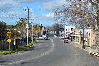
Winchelsea is a town in Victoria, Australia. The town is located in the Surf Coast Shire local government area, the suburb or locality of Winchelsea is predominantly within Surf Coast Shire with a small section within the Colac Otway Shire. Winchelsea is located on the Barwon River 115 km south-west of Melbourne and close to Geelong.
Bacchus Marsh is a town in Victoria, Australia located approximately 50 kilometres (30 mi) north-west of the state capital Melbourne, at a near equidistance to the major cities of Melbourne, Ballarat and Geelong.

Meredith is a town in Victoria, Australia, located on the Midland Highway between Ballarat and Geelong, in the local government area of the Golden Plains Shire. At the 2021 census, Meredith had a population of 821, an increase from the 788 at the 2016 census
Mount Duneed is a suburb of Geelong, Victoria, Australia. It is divided between the City of Greater Geelong and Surf Coast Shire local government areas. Mount Duneed itself is an extinct volcano and the remains of the crater can be seen in the Mount Duneed Recreation Reserve.

Walkerville is a village on Waratah Bay in southwest Gippsland, Victoria, approximately 190 km southeast of Melbourne. The town comprises three sections: Walkerville North, Walkerville South, and the Walkerville Promontory View Estate. At the 2016 census, it had a population of 84, down from 262 in 2006.
Curlewis is a locality in the City of Greater Geelong local government area on the Bellarine Peninsula, Victoria, Australia. At the 2021 census, Curlewis had a population of 4,175.
Geelong Eastern Cemetery is a cemetery located in the city of Geelong, Victoria in Australia. The cemetery dates back to 1839.


