
Mountainaire is a census-designated place (CDP) in Coconino County, Arizona, United States. The population was 1,119 at the 2010 census.

Tonalea is a census-designated place (CDP) in Coconino County, Arizona, United States. The population was 549 at the 2010 census. It has also been known as Red Lake.

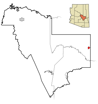
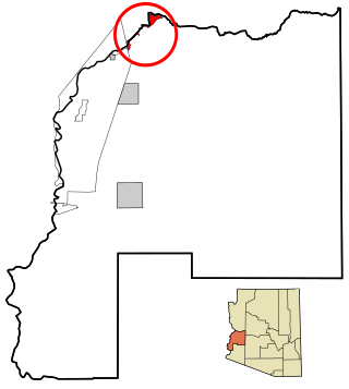
Winslow West is a census-designated place (CDP) in Coconino and Navajo counties in Arizona, United States. The population was 438 at the 2010 census. The entire community is off-reservation trust land belonging to the Hopi tribe. It lies just west of the city of Winslow, and is more than 50 km (31 mi) south of the main Hopi reservation.
Canyon Day is a census-designated place (CDP) in Gila County, Arizona, United States, on the Fort Apache Indian Reservation. The population was 1,209 at the 2010 census.

Central Heights-Midland City is an unincorporated community and census-designated place (CDP) in Gila County, Arizona, United States. The area is home to the Pinal Cemetery which serves the community in gereneral but also contains Croatian and Serbian dedicated sections. The Gila County Health and Human Services offices are located within the region. One of the communities few nurseries is located along Golden Hill Road, a notable road in the Central Heights-Midland City area. The population was 2,534 at the 2010 census.

Claypool is a census-designated place (CDP) in Gila County, Arizona, United States. The population was 1,538 at the 2010 census, down from 1,794 at the 2000 census. It was named after W. D. Claypool, a member of both the State House of Representatives and State Senate in the 1910s and 1920s.

Peridot is an unincorporated community and census-designated place (CDP) in Gila and Graham counties in the U.S. state of Arizona. The population was 1,350 at the 2010 census.

San Carlos is a census-designated place (CDP) in Gila County, Arizona, United States. The population was 4,038 at the 2010 census, up from 3,716 in 2000.
Parker Strip is a census-designated place (CDP) in La Paz County, Arizona, United States. The population was 662 at the 2010 census.

Poston is an unincorporated community and census-designated place (CDP) in La Paz County, Arizona, United States, in the Parker Valley. The population was 285 at the 2010 census, down from 389 in 2000.

Sun Lakes is an unincorporated community and census-designated place (CDP) in Maricopa County, Arizona, United States. The population was 14,868 at the 2020 census. Sun Lakes is an active adult community comprising five country club communities in three homeowner associations. These include the gated communities of Oakwood and IronWood (IronOaks), the gated and non-gated communities of Palo Verde and Cottonwood, and the non-gated community of Sun Lakes 1. Sun Lakes is a master-planned community developed by Robson Communities.

East Fork is a census-designated place (CDP) in Navajo County, Arizona, United States, on the Fort Apache Indian Reservation. The population was 699 at the 2010 census.

Keams Canyon is a census-designated place (CDP) in Navajo County, Arizona, United States. The population was 304 at the 2010 census.

Pinon is a census-designated place (CDP) in Navajo County, Arizona, United States, and located in the Navajo Nation. The population was 904 at the 2010 census.

Avra Valley is a census-designated place (CDP) in Pima County, Arizona, United States. The population was 6,050 at the 2010 census, up from 5,038 in 2000.

Santa Rosa, or Kaij Mek (O'odham) name translates as "Burnt Seeds", is a census-designated place (CDP) in Pima County, Arizona, United States. The population was 671 as of the 2020 census. This makes Santa Rosa the most populated historical traditional village on the Tohono O'odham Nation reservation.

Vail is a census-designated place (CDP) in Pima County, Arizona, United States. It is 24 miles (39 km) southeast of Tucson. The population was 10,208 at the 2010 census, up from 2484 in the 2000 census. The area is known for the nearby Colossal Cave, a large cave system, and the Rincon Mountains District of Saguaro National Park, a top tourism spot within Arizona.

Dudleyville is a census-designated place (CDP) in Pinal County, Arizona, United States. The population was 959 at the 2010 census.

Stotonic is a census-designated place (CDP) in Pinal County, Arizona, United States, located in the Gila River Indian Community. The population was 659 at the 2010 census. Stotonic Village has a median household income of $2,499 – the lowest of any CDP in Arizona

Cutter is a census-designated place in Gila County in the U.S. state of Arizona. Cutter is located just off US Route 70, east of the city of Globe. The population as of the 2010 U.S. Census was 74.


