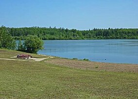
The Athabasca River is a river in Alberta, Canada, which originates at the Columbia Icefield in Jasper National Park and flows more than 1,231 km (765 mi) before emptying into Lake Athabasca. Much of the land along its banks is protected in national and provincial parks, and the river is designated a Canadian Heritage River for its historical and cultural importance. The scenic Athabasca Falls is located about 30 km (19 mi) upstream from Jasper.

The Peace River is a 1,923-kilometre-long (1,195 mi) river in Canada that originates in the Rocky Mountains of northern British Columbia and flows to the northeast through northern Alberta. The Peace River joins the Athabasca River in the Peace-Athabasca Delta to form the Slave River, a tributary of the Mackenzie River. The Finlay River, the main headwater of the Peace River, is regarded as the ultimate source of the Mackenzie River. The combined Finlay–Peace–Slave–Mackenzie river system is the 13th longest river system in the world.
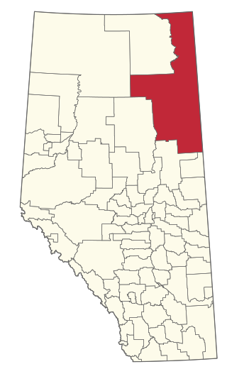
The Regional Municipality of Wood Buffalo is a specialized municipality in northeast Alberta, Canada. It is the second largest municipality in Alberta by area and is home to oil sand deposits known as the Athabasca oil sands.

Peace River, originally named Peace River Crossing and known as Rivière-la-Paix in French, is a town in northwest Alberta, Canada. It is along the banks of the Peace River at its confluence with the Smoky River, the Heart River and Pat's Creek. It is approximately 486 kilometres (302 mi) northwest of Edmonton and 198 kilometres (123 mi) northeast of Grande Prairie on Highway 2. It was known as the Village of Peace River Crossing between 1914 and 1916.

The Peace–Athabasca Delta, located in northeast Alberta, is the largest freshwater inland river delta in North America. It is located partially within the southeast corner of Wood Buffalo National Park, Canada's largest national park, and also spreads into the Regional Municipality of Wood Buffalo, west and south of the historical community of Fort Chipewyan. The delta encompasses approximately 321,200 ha, formed where the Peace and Athabasca rivers converge on the Slave River and Lake Athabasca. The delta region is designated a wetland of international importance and a UNESCO World Heritage Site. The region is large enough that it is considered one of twenty distinct natural subregions of Alberta by the provincial government's Natural Regions Committee.

Northern Alberta Railways was a Canadian railway which served northern Alberta and northeastern British Columbia. Jointly owned by both Canadian National Railway and Canadian Pacific Railway, NAR existed as a separate company from 1929 until 1981.

The Peace River Country is an aspen parkland region centring on the Peace River in Canada. It extends from northwestern Alberta to the Rocky Mountains in northeastern British Columbia, where a certain portion of the region is also referred to as the Peace River Block.

The Athabasca Basin is a region in the Canadian Shield of northern Saskatchewan and Alberta, Canada. It is best known as the world's leading source of high-grade uranium and currently supplies about 20% of the world's uranium.

Grimshaw is a town in northern Alberta, Canada. It is approximately 25 km (16 mi) west of the Town of Peace River at the junction of Highway 2 and Highway 2A and along Mackenzie Northern Railway. By virtue of being the original starting point of Highway 35, which leads to the Northwest Territories, Grimshaw is referred to as Mile Zero of the Mackenzie Highway.

Valleyview is a town in northwest Alberta, Canada. It is surrounded by the Municipal District of Greenview No. 16 and in Census Division No. 18.
Berwyn is a village in northwestern Alberta, Canada. It is located approximately 37 km (23 mi) west of the Town of Peace River, 10 km (6.2 mi) southwest of the Town of Grimshaw, and 15 km (9.3 mi) northeast of the Duncan's First Nation reserve.
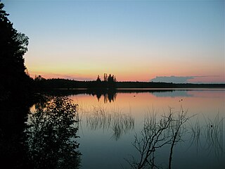
Lakeland Provincial Park and Lakeland Provincial Recreation Area are located east of Lac La Biche, Alberta, Canada, in Lac La Biche County.
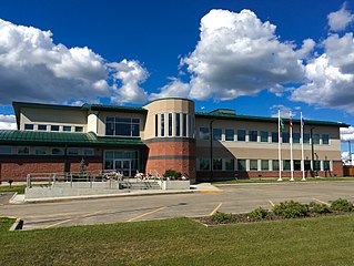
The Municipal District of Greenview No. 16 is a municipal district (MD) in northwest Alberta, Canada. It covers the full extent of Census Division 18, and with an area of 32,984 km2 (12,735 sq mi), it is the largest municipal district in Alberta. Its administrative office is located in the Town of Valleyview.

Beaver River is a large river in east-central Alberta and central Saskatchewan, Canada. It flows east through Alberta and Saskatchewan and then turns sharply north to flow into Lac Île-à-la-Crosse on the Churchill River which flows into Hudson Bay.
Lac Cardinal is a lake in northwestern Alberta, Canada. It is located at the southern limit of Mackenzie Highway, near Grimshaw.
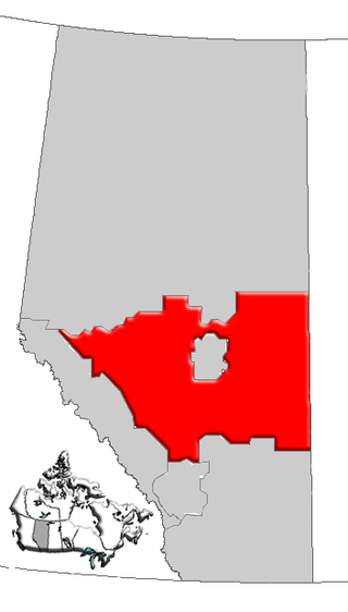
Central Alberta is a region located in the Canadian province of Alberta.
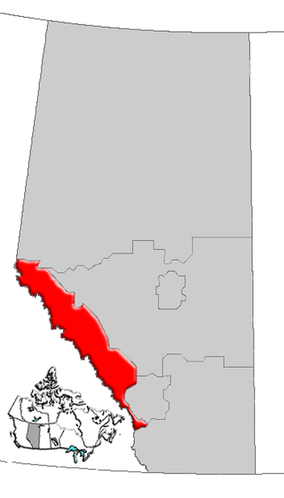
Alberta's Rockies comprise the Canadian Rocky Mountains in Alberta, Canada. On the southwestern part of the province along the British Columbia border, the region covers all but the south of Census Division 15.

Northern Alberta is a geographic region located in the Canadian province of Alberta.
Brownvale is a hamlet in northern Alberta, Canada within the Municipal District of Peace No. 135. It is located on Highway 737 less than 1 kilometre (0.62 mi) off Highway 2, approximately 48 kilometres (30 mi) southwest of the Town of Peace River and 20 kilometres (12 mi) southwest of Grimshaw. Duncan's First Nation reserve is less than 5 km (3.1 mi) to the south.

Central Peace-Notley is a provincial electoral district in Alberta, Canada. The district was one of 87 districts mandated to return a single member (MLA) to the Legislative Assembly of Alberta using the first past the post method of voting. It was contested for the first time in the 2019 Alberta election.
