53.3664,-4.2904\n","marker-symbol":"6","marker-size":"small","marker-color":"#AA1205"},"geometry":{"type":"Point","coordinates":[-4.2904,53.3664]}},{"type":"Feature","properties":{"title":"Church of St Eilian","description":"
This article needs additional citations for verification .(October 2019) |
Gadfa | |
---|---|
![]() An access road that runs west from the A5025 to Penterfyn-Gadfa. | |
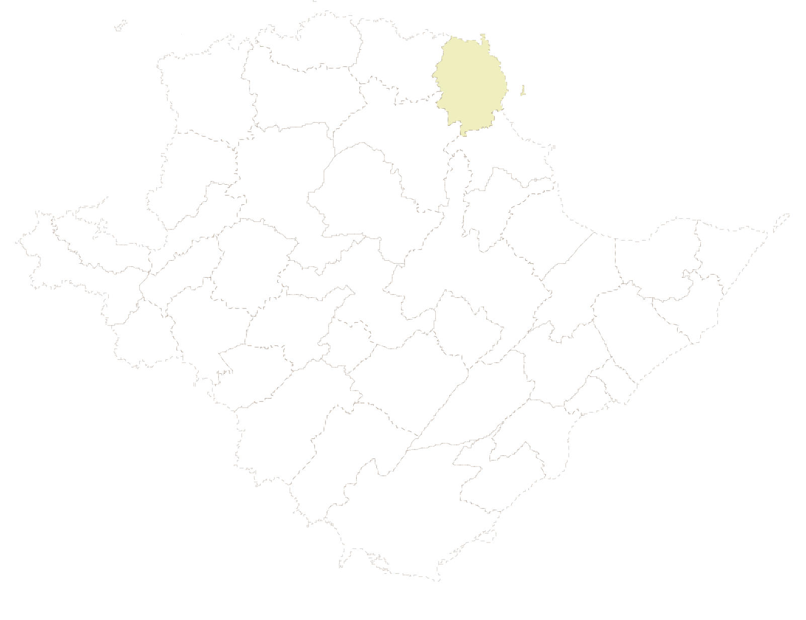
Location within Anglesey | |
OS grid reference | SH 4607 8985 |
• Cardiff | 140 mi (230 km) |
• London | 218.8 mi (352.1 km) |
Community | |
Principal area | |
Country | Wales |
Sovereign state | United Kingdom |
Post town | Penysarn |
Police | North Wales |
Fire | North Wales |
Ambulance | Welsh |
UK Parliament | |
Senedd Cymru – Welsh Parliament | |
Gadfa is a hamlet in the community of Llaneilian, Anglesey, Wales, which is 140 miles (225.3 km) from Cardiff and 218.8 miles (352.1 km) from London.
The dispersed settlement has a scatter of buildings mainly along and to the west of the A5025, with a smaller number on the eastern side of the road. [1]
Prince of Wales–Hyder Census Area is a census area located in the U.S. state of Alaska. As of the 2020 census, the population was 5,753, up from 5,559 in 2010. It is part of the unorganized borough and therefore has no borough seat. Its largest communities are Metlakatla and Craig. It was formerly part of the Census Bureau's Prince of Wales–Outer Ketchikan Census Area, but the name was changed in 2008 after most of the Outer Ketchikan was lost to annexation by the Ketchikan Gateway Borough.
Historic Denbighshire is one of thirteen traditional counties in Wales, a vice-county and a former administrative county, which covers an area in north east Wales. It is a maritime county, bounded to the north by the Irish Sea, to the east by Flintshire, Cheshire and Shropshire, to the south by Montgomeryshire and Merionethshire, and to the west by Caernarfonshire.
Amlwch is a port town and community in Wales. It is situated on the north coast of the Isle of Anglesey, on the A5025 which connects it to Holyhead and to Menai Bridge. As well as Amlwch town and Amlwch Port, other settlements within the community include Burwen, Porthllechog/Bull Bay and Pentrefelin. The town has a beach in Llaneilian, and it has significant coastal cliffs. Tourism is an important element of the local economy. At one time it was a booming mining town that became the centre of a vast global trade in copper ore. The harbour inlet became a busy port and significant shipbuilding and ship repair centre, as well as an embarkation point with boats sailing to the Isle of Man and to Liverpool. The community covers an area of about 18 square kilometres.
Abercegir is a small rural village in Powys, Wales.
Aberyscir is a village in the community of Yscir, Powys, Wales, which is 4 miles (6.4 km) west of Brecon, 35 miles (56 km) from Cardiff and 146 miles (235 km) from London.
Dulas Bay is a small bay on the north east coast of Anglesey, north Wales, forming the boundary between Llaneilian and Moelfre communities. The bay is bordered by three beaches.
Betws yn Rhos is a village and community in Conwy County Borough, Wales.
Ynys Dulas is a small island located off the north-east coast of Anglesey, Wales. It marks the most eastern part of the parish of Llaneilian.
Point Lynas Lighthouse is located on a headland in Llaneilian Community, on the north-east corner of Anglesey in North Wales. A pilot station was established on the point in 1766, to guide ships entering and leaving Liverpool, with an associated lighthouse added in 1779. The present building was built on the hilltop in 1835, so does not need a tower. Built and managed by the Mersey Docks and Harbour Board, it did not come under the care of Trinity House until 1973. By 2001 the lights were fully automated, so no resident staff were needed. Whilst the light is retained in operational use, the building and associated lighthouse keepers cottages were returned to the Mersey Docks and Harbour Board who sold them to be a private home and holiday accommodation.
Penysarn is a small village located within Llaneilian Community, in the north-eastern corner of Anglesey, Wales, and on the north-eastern side of Parys Mountain, at approximately 140–150 feet above sea level. The settlement expanded in the 18th century with the arrival of miners working at the nearby copper mines. The population as of the 2011 census was 595.
Cerrig Mân is a village in Anglesey, in north-west Wales, in the community of Llaneilian and the electoral ward of Twrcelyn. It is located a mile north of Penysarn and a mile south of Amlwch.
Dulas or City Dulas is a village in Anglesey, in north-west Wales. It is situated on the A5025 road, near the coast at only 5 metres (16 ft) above sea level. It is in the community of Llaneilian.
Llaneilian is a village and community in Anglesey, Wales. It is located in the north east of the island, 2.2 miles (3.5 km) east of Amlwch, 16.5 miles (26.6 km) north west of Menai Bridge and 12.5 miles (20.1 km) north of Llangefni. The community includes the villages and hamlets of Dulas, Llaneilian, Pengorffwysfa, Cerrig Man and Penysarn, Gadfa and Nebo, and at the 2001 census had a population of 1,192, decreasing slightly to 1,186 at the 2011 Census. The parish is crowned by its hill, Mynydd Eilian, a HuMP, popular with walkers and ramblers, and its beach, Traeth Eilian, which is popular with holidaymakers and for watersport activities. At the north easternmost point is Point Lynas,, while Ynys Dulas lies off the North East coast of the island, east of Dulas Bay.
Pengorffwysfa is a village in Anglesey, in north-west Wales. It is one of several dispersed settlements in the central area of Llaneilian Community, north of Penysarn and south of Llaneilian village.
Nebo is a hamlet in the community of Llaneilian, Anglesey, in north-west Wales. It is 140.1 miles (225.4 km) from Cardiff and 218.6 miles (351.8 km) from London. The village is 1 kilometre (0.62 mi) east of Penysarn, near the top of a hill known as Mynydd Nebo.
The Old Church of St Gwenllwyfo, Llanwenllwyfo is a medieval ruined church near Dulas, in Anglesey, Wales, perhaps built in the 15th century to replace another church from which only the 12th-century font survived. Dedicated to Gwenllwyfo, a 7th-century female saint about whom nothing else is known, it was used as a chapel of ease for the church in Amlwch, about 5 miles (8 km) away. Restored in 1610 and again in the 18th and 19th centuries, it contained an oak screen and pulpit from 1610.
Pont-Hwfa is a village in the community of Holyhead, Anglesey, Wales, which is 140.8 miles (226.6 km) from Cardiff and 227.5 miles (366.1 km) from London.
Dyffryn Arth is a community in the county of Ceredigion, Wales, and is 66.8 miles (107.5 km) from Cardiff and 178.4 miles (287.1 km) from London. In 2011 the population of Dyffryn Arth was 1174 with 49.7% of them able to speak Welsh. It includes the villages of Aberarth, Pennant, Moelfryn and Cross Inn.
Nantmel is a village and a community in Radnorshire, Powys, Wales, and is 76.5 miles (123.1 km) from Cardiff and 150.5 miles (242.2 km) from London. In 2011 the population of Nantmel was 621 with 11.8% of them able to speak Welsh. The population of the community was 637 as of the 2011 UK Census.