Llaneuddog

Last updated

Llaneuddog
Llaneuddog - geograph.org.uk - 38798.jpg
Isle of Anglesey UK location map.svg
Red pog.svg
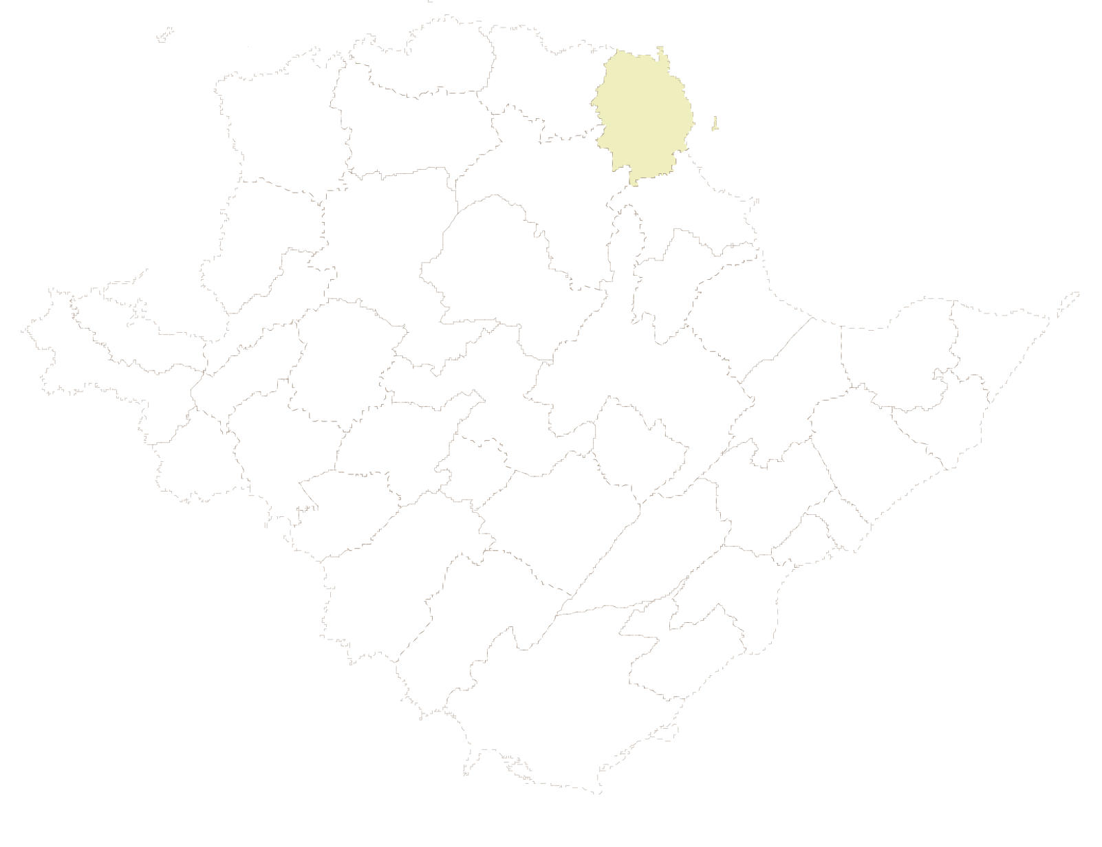
Llaneuddog
Location within Anglesey
OS grid reference SH 4665 8814
  Cardiff 138.8 mi (223.4 km)
  London 217.8 mi (350.5 km)
Community
Principal area
Country Wales
Sovereign state United Kingdom
Post town Dulas
Police North Wales
Fire North Wales
Ambulance Welsh
UK Parliament
Senedd Cymru – Welsh Parliament
List of places
UK
Wales
Anglesey
53°22′04″N4°18′22″W / 53.367797°N 4.306206°W / 53.367797; -4.306206

Llaneuddog is a hamlet in the community of Llaneilian, Anglesey, Wales. It lies along the A5025 road, between Brynrefail and Penysarn, near Dulas. [1] It belonged to the historical parish of Llanwenllwyfo, [2] now part of Llaneilian. [3] The hamlet takes its name from an ancient chapel to St Euddog which was in the vicinity of the A5025. [4] It was recorded in 1920 as having the stones re-used in farm buildings, and the water stoup used as a pig trough at nearby Lligwy. The presumed site is a small enclosure with a crescent-shaped bank thought to be the churchyard boundary. [5]

One of the prominent buildings near the Llaneuddog crossroads is Sardis Baptist Chapel. First built in 1834, it was rebuilt in 1905 [6] at the height of the 1904–1905 Welsh revival.

The 1919 Memoirs of the Geological Survey of England & Wales suggests that in the early part of the 20th century there was a brickworks in the area. [7]

See also

Llaneuddog
Transparent.svg
Transparent.svg
1km
0.6miles
Anglesey Llaneilian transparent overlay map.svg
Red pog.svg
site of Chapel
of St Euddog
Ynys
Dulas
Lligwy Bay
R H O S Y B O L
L L A N E I L I A N
M O E L F R E
Red pog.svg
Church of
St Gwenllwyfo
Transparent square.svg
Red pog.svg
Old St Gwenllwyfo
(remains)
Transparent square.svg
Red pog.svg
Church of
St Eilian
Nebo
Penysarn
Llaneilian
Amlwch
City Dulas
Traeth Dulas
Red pog.svg
Llaneuddog
Red pog.svg
Mynydd
Eilian
Porth Eilian
Pengorffwysfa
Red pog.svg
Point Lynas
Lighthouse
Map of Llaneilian Community, showing Llaneuddog in the former parish of Llanwenllwyfo. [8]

References

  1. Google Maps (Map). Google.
  2. Baring-Gould, Sabine; Fisher, John (1908). The Lives of the British Saints: The Saints of Wales and Cornwall and Such Irish Saints as Have Dedications in Britain. For the honourable Society of cymmrodorion, by C. J. Clark. p.  467.
  3. "Llaneuddog". Vision of Britain. Retrieved 16 April 2016.
  4. The Cambro-Briton. J. Limbird. 1822. p.  203.
  5. Capel Llangadog (ID PRN2114) . in the ' SMR ' for Gwynedd Archaeological Trust (GAT)
  6. Sardis Baptist Chapel (ID NPRN11547) . at the Royal Commission on the Ancient and Historical Monuments of Wales (RCAHMW)
  7. Memoirs of the Geological Survey [of] England & Wales. H.M. Stationery Office. 1919. p. 334.
  8. historicwales.gov.uk the map enabled portal for historic environment in Llaneilian. Accessed 15 November 2017