 Debbie at peak intensity, on 11 September | |
| Meteorological history | |
|---|---|
| Formed | 6 September 1961 |
| Extratropical | 15 September 1961 |
| Dissipated | 19 September 1961 |
| Category 1 hurricane | |
| 1-minute sustained (SSHWS/NWS) | |
| Highest winds | 90 mph (150 km/h) |
| Lowest pressure | 975 mbar (hPa);28.79 inHg |
| Overall effects | |
| Fatalities | 78 |
| Damage | $50 million (1961 USD) (estimated) |
| Areas affected | Cape Verde Islands,Azores,Ireland,United Kingdom,Norway,Soviet Union |
| IBTrACS | |
Part of the 1961 Atlantic hurricane season | |
Hurricane Debbie was a moderate tropical cyclone which had significant impacts in Ireland as an extratropical cyclone. The fourth named storm of the 1961 Atlantic hurricane season,Debbie originated from a well-defined tropical disturbance that was first identified in late August over Central Africa. Tracking generally westward,the system moved off the coast of Senegal on 5 September into the Atlantic Ocean. At the time,it was estimated to have become a tropical depression,but forecasters did not issue advisories on the system until two days later. Late on 6 September,Debbie passed through the southern Cape Verde Islands as a moderate tropical storm. Once clear of the islands,data on the storm became sparse,and the status of Debbie was uncertain over the following several days as it tracked west-northwestward and later northward. It was not until a commercial airliner intercepted the storm on 10 September that its location became certain. The following day,Debbie intensified and reached its peak intensity as a Category 1 hurricane on the Saffir–Simpson hurricane scale,with maximum winds of 140 km/h (90 mph).
Contents
- Meteorological history
- Impact
- Republic of Ireland
- Northern Ireland
- Elsewhere
- See also
- Notes
- References
- External links
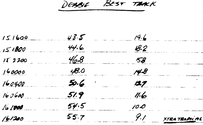
Maintaining its peak intensity for almost a day,the hurricane gradually slowed its forward motion and weakened. By 13 September,Debbie's motion became increasingly influenced by the westerlies,causing the system to accelerate east-northeastwards. The system passed over the western Azores as an extratropical cyclone bearing hurricane-force winds on 15 September. The system subsequently deepened explosively as it neared Ireland,skirting the coast of western Ireland (perhaps briefly making landfall near Connemara [1] ) from mid-morning onwards on 16 September,before rushing northwards towards the Outer Hebrides of Scotland that evening. The peaks of the winds over Ireland occurred during the morning and early afternoon on a Saturday (market day) when many people were outdoors doing their shopping. The remnants of the storm later weakened and turned eastwards,striking Norway and the Soviet Union,before dissipating on 19 September.
Striking Ireland as an extremely powerful mid-latitude storm,the remnants of Debbie brought record winds to large parts of the island,with a maximum wind gust of 181 km/h (113 mph) at the Met Éireann meteorological station of Malin Head (county Donegal),an absolute Irish station record which was later surpassed by storm Éowyn,and which equals the strongest wind gust recorded at a land-based lowland site in the Republic of Ireland until storm Éowyn. New data uncovered by Graham and Smart (2021), [1] also shows that the same station recorded a possible new Irish mean (10-min) windspeed record of 141 km/h (87 mph) during four unique consecutive hours of hurricane-force winds on the Beaufort Scale that day. These winds caused widespread damage and disruption,downing tens of thousands of trees and power lines. Countless structures sustained varying degrees of damage,with many smaller buildings destroyed. Agriculture experienced extensive losses to barley,corn and wheat crops. Debbie killed 18 people –12 in the Republic of Ireland and six in Northern Ireland. It caused US$40–50 million in damage in the Republic [nb 1] and at least £1.5 million (US$4 million) in Northern Ireland. The storm also battered parts of Great Britain with winds in excess of 100 mph (160 km/h).


