
Riverton, officially Riverton / Aparima, is a small New Zealand town 30 kilometres (19 mi) west of Invercargill, on the south-eastern shorelines of the Jacobs River Estuary. The estuary is formed by the Aparima and Pourakino rivers, leading through a narrow outflow channel into Foveaux Strait. Accessible via State Highway 99 on the Southern Scenic Route, the main part of the town is on flat land and the northern end of Oreti Beach. South Riverton is built on the hills between the eastern shore of the estuary and Taramea Bay.
Mataura is a town in the Southland region of the South Island of New Zealand. Mataura has a meat processing plant, and until 2000 it was the site of a large pulp and paper mill.

The 1884 New Zealand general election was held on 22 July to elect a total of 95 MPs to the 9th session of the New Zealand Parliament. The Māori vote was held on 21 July. A total number of 137,686 (60.6%) voters turned out to vote. In 11 seats there was only one candidate.
Southland District Council is the territorial authority for the Southland District of New Zealand.
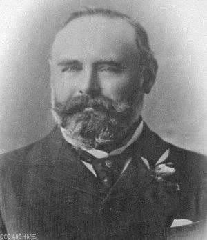
James Walker Bain was a 19th-century New Zealand politician. He was a significant businessman in Invercargill and Southland.
Awarua was a New Zealand parliamentary electorate from 1881 to 1996.
Mataura was a parliamentary electorate in the Southland Region of New Zealand, from 1866 to 1946.
Hokonui was a parliamentary electorate in the Southland region of New Zealand, from 1881 to 1890.
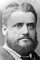
James Mackintosh was a 19th-century Liberal Party Member of Parliament in Southland, New Zealand.
William Dawson was a 19th-century Liberal Party Member of Parliament in Dunedin, Otago, New Zealand.
The 9th New Zealand Parliament was a term of the Parliament of New Zealand.
Otautau is a small farming, forestry and milling town located inland on the western edge of the Southland Plains of New Zealand on the banks of the Aparima River. Otautau is located approximately 40 kilometres (25 mi) north west of Invercargill. The average elevation of Otautau is 60 metres.
Waikaia, formerly known as Switzers, is a town in the Southland region of New Zealand's South Island. From 1909 until 1959, it was the terminus of the Waikaia Branch railway. The population in the 2013 census was 99, unchanged from the previous census in 2006.
William Young of Otahuti in the Southland District was appointed a member of the New Zealand Legislative Council on 22 June 1950.
Alfred Baldey was a member of the New Zealand Legislative Council representing Liberal Party interests from Southland.
Garston is a small settlement in northern Southland, in the South Island of New Zealand, located close to the region's boundary with Otago. It is the most inland settlement in New Zealand. It is situated south of Lake Wakatipu and close to the upper reaches of the Mataura River, between Kingston and Lumsden. Garston is connected to both Kingston and Lumsden by SH 6.

William Benjamin Scandrett was a New Zealand politician. He migrated from England to New Zealand in 1855, and moved to Invercargill in 1862. He was the first town clerk of Invercargill after it was proclaimed a municipality, serving from 1871 to 1893. He was deputy mayor of Invercargill twice and mayor of Invercargill three times. Scandrett married Susannah Hinton Milstead and had five children.

This is a list of mayors of Queenstown Borough in New Zealand. The mayor was the head of the Queenstown Borough Council. The borough existed from 1866 until 1986, when it merged with the Lake County to form Queenstown-Lakes District. During the 120 years of its existence, there were 21 mayors.
Blackmount is a rural community in the Southland District and Southland Region of New Zealand.
