Jaggan, Queensland

Last updated

Jaggan
Queensland
Australia Queensland location map.svg
Red pog.svg
Jaggan
Coordinates 17°23′39″S145°35′57″E / 17.3941°S 145.5991°E / -17.3941; 145.5991 (Jaggan (town centre))
Population188 (2016 census) [1]
 • Density5.839/km2 (15.12/sq mi)
Postcode(s) 4885
Area32.2 km2 (12.4 sq mi)
Time zone AEST (UTC+10:00)
LGA(s) Tablelands Region
State electorate(s) Hill
Federal division(s) Kennedy
Localities around Jaggan:
Upper Barron Malanda Glen Allyn
Upper Barron Jaggan Glen Allyn
Tarzali Tarzali Glen Allyn

Jaggan is a rural town and locality in the Tablelands Region, Queensland, Australia. [2] [3] In the 2016 census, the locality of Jaggan had a population of 188 people. [1]

Contents

Geography

The Millaa Millaa–Malanda Road runs through from south to north. [4]

History

The area was originally called Bunjara Burra. The town takes its present name from the Jaggan railway station, which in turn was named by the Queensland Railways Department on 31 August 1915. Jaggan is an Aboriginal word meaning thick scrub with lawyer vines . [2]

The town surveyed in October 1916. [2]

Jaggan State School opened on 2 April 1918. [5] In August 1924, the Queensland Government committed to constructing a new school building at a cost of £640. [6] It closed in 1965. [5]

In the 2016 census, the locality of Jaggan had a population of 188 people. [1]

Related Research Articles

<span class="mw-page-title-main">Tolga, Queensland</span> Town in Queensland, Australia

Tolga is a rural town and locality in the Tablelands Region, Queensland, Australia. In the 2016 census, Tolga had a population of 2,718 people.

<span class="mw-page-title-main">Tinaroo, Queensland</span> Suburb of Tablelands Region, Queensland, Australia

Tinaroo is a rural locality in the Tablelands Region, Queensland, Australia. In the 2021 census, Tinaroo had a population of 293 people.

<span class="mw-page-title-main">Malanda, Queensland</span> Town in Queensland, Australia

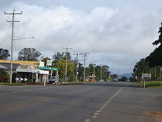
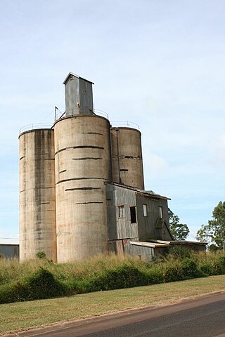
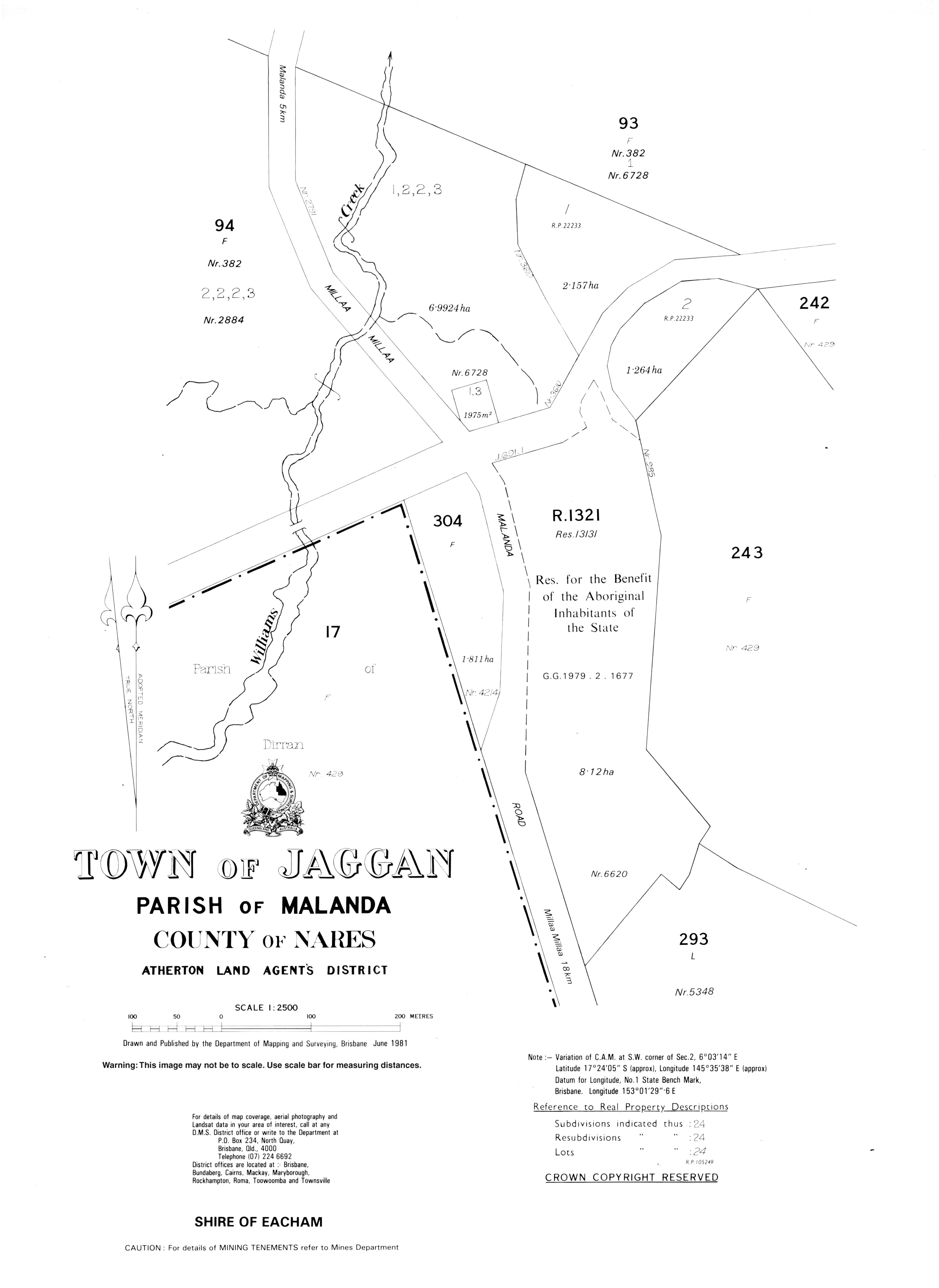
Malanda is a rural town and locality in the Tablelands Region, Queensland, Australia. In the 2016 census, the locality of Malanda had a population of 1,985 people. The economy is based upon agriculture and tourism.

<span class="mw-page-title-main">Kairi, Queensland</span> Town in Queensland, Australia

Kairi is a rural town and locality in the Tablelands Region, Queensland, Australia. In the 2016 census, Kairi had a population of 442 people.

<span class="mw-page-title-main">Millaa Millaa, Queensland</span> Town in Queensland, Australia

Millaa Millaa is a rural town and locality in the Tablelands Region, Queensland, Australia. In the 2016 census, the locality of Millaa Millaa had a population of 514 people.

Evelyn is a rural locality in the Tablelands Region, Queensland, Australia. In the 2016 census, Evelyn had a population of 241 people.

Carrington is a rural locality in the Tablelands Region, Queensland, Australia. In the 2016 census, Carrington had a population of 190 people.

East Barron is a rural locality in the Tablelands Region, Queensland, Australia. In the 2016 census East Barron had a population of 234 people.

Ellinjaa is a rural locality in the Tablelands Region, Queensland, Australia. In the 2016 census, Ellinjaa had a population of 31 people.

Kureen is a rural locality in the Tablelands Region, Queensland, Australia. In the 2016 census Kureen had a population of 122 people.

Minbun is a rural locality in the Tablelands Region, Queensland, Australia. In the 2016 census Minbun had a population of 75 people.

<span class="mw-page-title-main">Peeramon</span> Town in Queensland, Australia

Peeramon is a rural town and locality in the Tablelands Region, Queensland, Australia. In the 2016 census, the locality of Peeramon had a population of 628 people.

<span class="mw-page-title-main">Tarzali</span> Town in Queensland, Australia

Tarzali is a rural town and locality in the Tablelands Region, Queensland, Australia. In the 2016 census, the locality of Tarzali had a population of 398 people.

Tumoulin is a rural town and locality in the Tablelands Region, Queensland, Australia. In the 2016 census, Tumoulin had a population of 109 people.

<span class="mw-page-title-main">Upper Barron</span> Suburb of Tablelands Region, Queensland, Australia

Upper Barron is a rural locality in the Tablelands Region, Queensland, Australia. In the 2021 census, Upper Barron had a population of 503 people.

Wongabel is a rural locality in the Tablelands Region, Queensland, Australia. In the 2016 census Wongabel had a population of 221 people.

Moomin is a rural locality in the Tablelands Region, Queensland, Australia. In the 2016 census Moomin had a population of 133 people.

Moregatta is a rural locality in the Tablelands Region, Queensland, Australia. In the 2016 census, Moregatta had a population of 9 people.

Middlebrook is a rural locality in the Tablelands Region, Queensland, Australia. In the 2016 census, Middlebrook had a population of 55 people.

Atherton–Malanda–Millaa Millaa Road is a continuous 39.0-kilometre (24.2 mi) road route in the Tablelands local government area of Queensland, Australia. It has two official names, Malanda–Atherton Road and Millaa Millaa–Malanda Road. The entire route is signed as part of State Route 25. Malanda–Atherton Road is a state-controlled district road, while Millaa Millaa–Malanda Road is part regional and part district.

References

  1. 1 2 3 Australian Bureau of Statistics (27 June 2017). "Jaggan (SSC)". 2016 Census QuickStats. Retrieved 20 October 2018. OOjs UI icon edit-ltr-progressive.svg
  2. 1 2 3 "Jaggan – town in Tablelands Region (entry 17018)". Queensland Place Names. Queensland Government . Retrieved 29 December 2020.
  3. "Jaggan – locality in Tablelands Region (entry 48682)". Queensland Place Names. Queensland Government . Retrieved 29 December 2020.
  4. Google (10 August 2023). "Jaggan, Queensland" (Map). Google Maps . Google. Retrieved 10 August 2023.
  5. 1 2 "Opening and closing dates of Queensland Schools". Queensland Government . Retrieved 10 January 2016.
  6. "NEW STATE SCHOOLS". The Brisbane Courier . 23 August 1924. p. 16. Archived from the original on 10 March 2021. Retrieved 11 January 2016 via National Library of Australia.