Upper Barron

Last updated

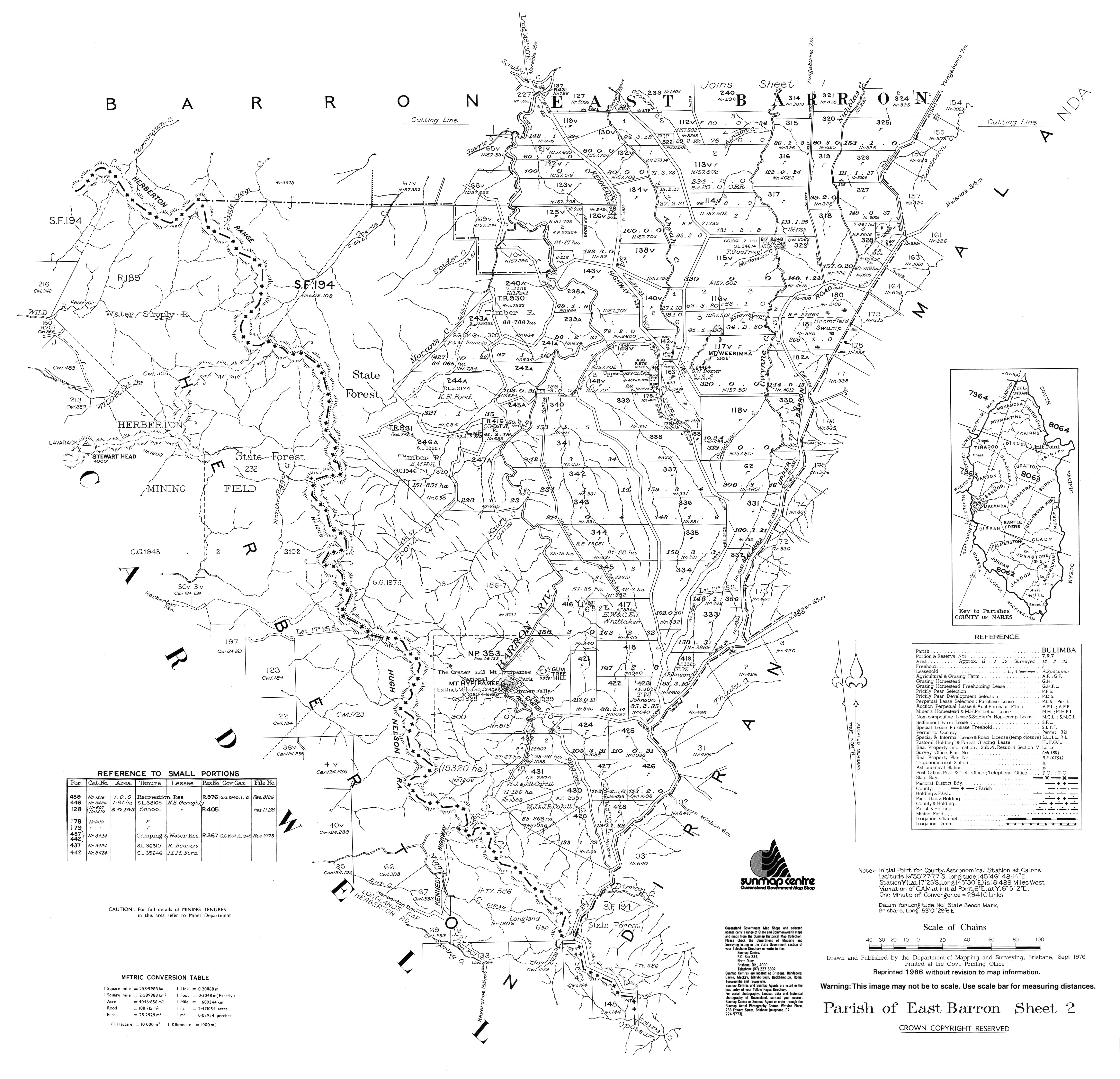
Upper Barron
Queensland
Upper Barron.jpg
Belson Road, Upper Barron
Australia Queensland location map.svg
Red pog.svg
Upper Barron
Coordinates 17°23′20″S145°30′25″E / 17.3888°S 145.5069°E / -17.3888; 145.5069 (Upper Barron (centre of locality))
Population503 (2021 census) [1]
 • Density4.818/km2 (12.479/sq mi)
Postcode(s) 4883
Elevation710–1,250 m (2,329–4,101 ft)
Area104.4 km2 (40.3 sq mi)
Time zone AEST (UTC+10:00)
Location
LGA(s) Tablelands Region
State electorate(s) Hill
Federal division(s) Kennedy
Suburbs around Upper Barron:
Wongabel East Barron Peeramon
Kureen
Moomin
Wondecla
Upper Barron Malanda
Evelyn Minbun Jaggan
Tarzali

Upper Barron is a rural locality in the Tablelands Region, Queensland, Australia. [2] In the 2021 census, Upper Barron had a population of 503 people. [1]

Contents

Geography

Upper Barron landscape Crater Valley Lake Cottage - panoramio.jpg
Upper Barron landscape

The western part of the locality is higher and mountainous while the central and eastern parts are lower and flatter. The Barron River rises in the south of the locality and flows in a northerly direction towards Wongabel and East Barron. [3]

Upper Barron has the following mountains and mountain passes (from north to south):

All of the western part of the locality is protected, being within one of the Herberton Range National Park, the Herberton Range Conservation Park, or the Mount Hypipamee National Park ( 17°25′32″S145°29′10″E / 17.4255°S 145.4861°E / -17.4255; 145.4861 (Mount Hypipamee National Park) ). [9] The predominant land use in the rest of the locality is grazing on native vegetation, except in the north of the locality where there is irrigated crop growing, being mostly sugarcane. [3]

The Kennedy Highway enters the locality from the north-west (Wongabel) and exits to the south-west (Evelyn). [3] The Malanda–Atherton Road runs through the northeastern corner. [10]

History

Upper Barron was previously a locality in both the Shire of Atherton and the Shire of Eacham, both of which were part of the 2008 local government amalgamation which created the Tablelands Region. [2]

Upper Barron State School opened on 31 January 1911. [11] It was mothballed on 31 December 2008 as there were only nine students. [12] [13] It closed on 31 December 2009. [14] It was at 9570 Kennedy Highway ( 17°22′58″S145°30′52″E / 17.3827°S 145.5145°E / -17.3827; 145.5145 (Upper Barron State School (former)) ). [15] [3] The school's website was archived. [16]

Mount Hypipamee National Park ( 17°25′32″S145°29′10″E / 17.4255°S 145.4861°E / -17.4255; 145.4861 (Mount Hypipamee National Park) ) was established on 16 January 1982. [9]

Demographics

In the 2016 census, Upper Barron had a population of 451 people. [17]

In the 2021 census, Upper Barron had a population of 503 people. [1]

Education

There are no schools in Upper Barron. The nearest government primary schools are Malanda State School in neighbouring Malanda to the east, Atherton State School in Atherton to the north, and Yungaburra State School in Yungaburra to the north-east. The nearest government secondary schools are Malanda State High School in Malanda and Atherton State High School in Atheron. [3]

Related Research Articles

<span class="mw-page-title-main">Yungaburra</span> Town in Queensland, Australia

Yungaburra is a rural town and locality in the Tablelands Region, Queensland, Australia. In the 2021 census, the locality of Yungaburra had a population of 1,272 people.

<span class="mw-page-title-main">Atherton Tableland</span> Fertile plateau in northern Queensland, Australia

The Atherton Tableland is a fertile plateau, which is part of the Great Dividing Range in Queensland, Australia. It has very deep, rich basaltic soils and the main industry is agriculture. The principal river flowing across the plateau is the Barron River, which was dammed to form the irrigation reservoir named Lake Tinaroo. Unlike many other rural areas, the Tablelands is experiencing a significant growth in population.

<span class="mw-page-title-main">Atherton, Queensland</span> Town in Queensland, Australia

Atherton is a rural town and locality in the Tablelands Region, Queensland, Australia. In the 2021 census, the locality of Atherton had a population of 7,724 people.

<span class="mw-page-title-main">Herberton, Queensland</span> Town in Queensland, Australia

Herberton is a rural town and locality in the Tablelands Region, Queensland, Australia. In the 2021 census, the locality of Herberton had a population of 895 people.

<span class="mw-page-title-main">Tolga, Queensland</span> Town in Queensland, Australia

Tolga is a rural town and locality in the Tablelands Region, Queensland, Australia. In the 2021 census, the locality of Tolga had a population of 3,177 people.

<span class="mw-page-title-main">Malanda, Queensland</span> Town in Queensland, Australia

Malanda is a rural town and locality in the Tablelands Region, Queensland, Australia. In the 2021 census, the locality of Malanda had a population of 2,000 people. The economy is based upon agriculture and tourism.

<span class="mw-page-title-main">Millaa Millaa, Queensland</span> Town in Queensland, Australia

Millaa Millaa is a rural town and locality in the Tablelands Region, Queensland, Australia. In the 2021 census, the locality of Millaa Millaa had a population of 523 people.

<span class="mw-page-title-main">Shire of Eacham</span> Local government area in Queensland, Australia

The Shire of Eacham was a local government area of Queensland. It was located on the Atherton Tableland, a plateau forming part of the Great Dividing Range west of the city of Cairns. The shire, administered from the town of Malanda, covered an area of 1,126.4 square kilometres (434.9 sq mi), and existed as a local government entity from 1910 until 2008, when it amalgamated with several other councils in the Tableland area to become the Tablelands Region.

<span class="mw-page-title-main">Lake Eacham, Queensland</span> Suburb of Tablelands Region, Queensland, Australia

Lake Eacham is a rural locality in the Tablelands Region, Queensland, Australia. In the 2021 census, Lake Eacham had a population of 459 people.

<span class="mw-page-title-main">Tablelands railway line</span> Railway line in Queensland, Australia

The Tablelands railway line is a railway line in North Queensland, Australia. It was opened in a series of sections between 1887 and 1916. It commences at Cairns and at its maximum extent, reached Ravenshoe at the southern end of the Atherton Tableland. The rail system served by this line was unusual for Queensland in that the majority of lines that connected to it were built by private companies and later purchased by the Queensland Government.

Barrine is a rural locality in the Tablelands Region, Queensland, Australia. In the 2021 census, Barrine had a population of 303 people.

East Barron is a rural locality in the Tablelands Region, Queensland, Australia. In the 2021 census, East Barron had a population of 278 people.

<span class="mw-page-title-main">Lake Barrine, Queensland</span> Suburb of Tablelands Region, Queensland, Australia

Lake Barrine is a rural locality in the Tablelands Region, Queensland, Australia. In the 2021 census, Lake Barrine had a population of 170 people.

<span class="mw-page-title-main">Peeramon</span> Town in Queensland, Australia

Peeramon is a rural town and locality in the Tablelands Region, Queensland, Australia. In the 2021 census, the locality of Peeramon had a population of 778 people.

<span class="mw-page-title-main">Tarzali</span> Town in Queensland, Australia

Tarzali is a rural town and locality in the Tablelands Region, Queensland, Australia. In the 2021 census, the locality of Tarzali had a population of 431 people.

Moomin is a rural locality in the Tablelands Region, Queensland, Australia. In the 2021 census, Moomin had a population of 191 people.

<span class="mw-page-title-main">Danbulla, Queensland</span> Suburb of Tablelands Region, Queensland, Australia

Danbulla is a locality in the Tablelands Region, Queensland, Australia. In the 2021 census, Danbulla had a population of 88 people.

Moregatta is a rural locality in the Tablelands Region, Queensland, Australia. In the 2021 census, Moregatta had a population of 62 people.

Atherton–Herberton–Longlands Gap Road is a continuous 33.5-kilometre (20.8 mi) road route in the Tablelands local government area of Queensland, Australia. It has two official names, Atherton–Herberton Road and Longlands Gap–Herberton Road. The entire route is signed as part of State Route 52. Both parts are state-controlled district roads, numbered 663 and 665, and the entire road is rated as a local road of regional significance (LRRS).

Atherton–Malanda–Millaa Millaa Road is a continuous 39.0-kilometre (24.2 mi) road route in the Tablelands local government area of Queensland, Australia. It has two official names, Malanda–Atherton Road and Millaa Millaa–Malanda Road. The entire route is signed as part of State Route 25. Malanda–Atherton Road is a state-controlled district road, while Millaa Millaa–Malanda Road is part regional and part district.

References

  1. 1 2 3 Australian Bureau of Statistics (28 June 2022). "Upper Barron (SAL)". 2021 Census QuickStats. Retrieved 28 February 2023. OOjs UI icon edit-ltr-progressive.svg
  2. 1 2 "Upper Barron – locality in Tablelands Region (entry 48912)". Queensland Place Names. Queensland Government . Retrieved 29 December 2020.
  3. 1 2 3 4 5 "Queensland Globe". State of Queensland . Retrieved 29 May 2023.
  4. 1 2 3 4 "Mountain peaks and capes - Queensland". Queensland Open Data. Queensland Government. 12 November 2020. Archived from the original on 25 November 2020. Retrieved 25 November 2020.
  5. "Mount Weerimba – mountain in Tablelands Region (entry 36890)". Queensland Place Names. Queensland Government . Retrieved 25 November 2020.
  6. "Gum Tree Hill – mountain in Tablelands Region (entry 15018)". Queensland Place Names. Queensland Government . Retrieved 25 November 2020.
  7. "Mount Hypipamee – mountain in Tablelands Region (entry 16562)". Queensland Place Names. Queensland Government . Retrieved 25 November 2020.
  8. "Longland Gap – pass in the Tablelands Region (entry 20041)". Queensland Place Names. Queensland Government . Retrieved 29 May 2023.
  9. 1 2 "Mount Hypipamee National Park – national park, resources reserve, conservation park in Tablelands Regional (entry 23050)". Queensland Place Names. Queensland Government . Retrieved 8 March 2023.
  10. Google (10 August 2023). "Upper Barron, Queensland" (Map). Google Maps . Google. Retrieved 10 August 2023.
  11. Queensland Family History Society (2010), Queensland schools past and present (Version 1.01 ed.), Queensland Family History Society, ISBN   978-1-921171-26-0
  12. "Opening and closing dates of Queensland Schools". Queensland Government . Retrieved 28 January 2021.
  13. "No reprieve for Upper Barron State School". ABC News . 21 December 2008. Archived from the original on 5 May 2018. Retrieved 28 January 2021.
  14. "Queensland state school - centre closures" (PDF). Queensland Government . 20 August 2013. Archived (PDF) from the original on 20 March 2022. Retrieved 6 April 2022.
  15. "Parish of East Barron, Sheet 2" (Map). Queensland Government. 1976. Archived from the original on 13 April 2022. Retrieved 13 April 2022.
  16. "Welcome to Upper Barron State School: Learning is Living". Upper Barron State School. 10 October 2008. Archived from the original on 10 October 2008. Retrieved 13 April 2022.
  17. Australian Bureau of Statistics (27 June 2017). "Upper Barron (SSC)". 2016 Census QuickStats. Retrieved 20 October 2018. OOjs UI icon edit-ltr-progressive.svg