
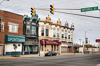
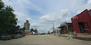
Dunkirk is a city in Blackford and Jay counties in the U.S. state of Indiana. The population was 2,164 at the 2020 census.
Yorktown is a town in Mount Pleasant Township, Delaware County, Indiana, United States. The population was 11,548 at the 2020 census. It is part of the Muncie, Indiana Metropolitan Statistical Area.

Oaktown is a town in Busseron Township, Knox County, Indiana. The population was 608 at the 2010 census.

LaGrange is a town in and the county seat of LaGrange County, Indiana, United States. The population was 2,625 at the 2010 census.

Wolcottville is a town in Orange Township, Noble County and Johnson Township, LaGrange County in the U.S. state of Indiana. The population was 998 at the 2010 census.
Pottawattamie Park is a town in Michigan Township, LaPorte County, Indiana, United States. The population was 235 at the 2010 census. It is included in the Michigan City, Indiana-La Porte, Indiana Metropolitan Statistical Area.

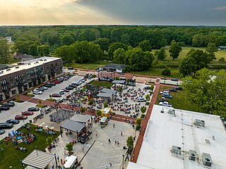
Culver is a town in Marshall County, Indiana, United States. Culver is part of Union Township, which also includes the communities of Burr Oak, Hibbard, Maxinkuckee and Rutland. The population of Culver was 1,129 at the 2020 United States Census.

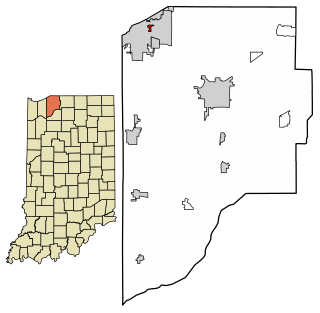
Albion is a town in Albion and Jefferson townships, Noble County, in the U.S. state of Indiana. The population was 2,349 at the 2010 census. The city is the county seat of Noble County.

Avilla is a town in Allen Township, Noble County, in the U.S. state of Indiana. The population was 2,401 at the 2010 census.

Cromwell is a town in Sparta Township, Noble County, in the U.S. state of Indiana. The population was 512 at the 2010 census.
Kendallville is a city in Wayne Township, Noble County, in the U.S. state of Indiana. The population was 10,222 as of the 2022 census.
Rome City is a town in Orange Township, Noble County, in the U.S. state of Indiana. The population was 1,361 at the 2010 census.

Boonville is a city in Boon Township, Warrick County, Indiana, United States. The population was 6,246 at the 2010 census. The city is the county seat of Warrick County.
Longford is a city in Clay County, Kansas, United States. As of the 2020 census, the population of the city was 73.

Dighton is a city in and the county seat of Lane County, Kansas, United States. As of the 2020 census, the population of the city was 960. Dighton is named for Dick Dighton, a surveyor.

North Windham is a census-designated place (CDP) within the town of Windham in Cumberland County, Maine, United States. The population was 4,904 at the 2010 census. It is part of the Portland–South Portland–Biddeford, Maine Metropolitan Statistical Area.
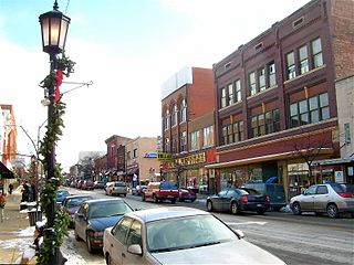
Cambridge (CAM-bridge) is a city in and the county seat of Guernsey County, Ohio, United States. It lies in southeastern Ohio, in the Appalachian Plateau of the Appalachian Mountains about 75 miles (121 km) east of Columbus and approximately 124 miles (200 km) south of Cleveland. The population was 10,089 at the 2020 census. It is the principal city of the Cambridge micropolitan area and is located adjacent to the intersection of Interstates 70 and 77.
Fairfield Township is a township in Westmoreland County, Pennsylvania, United States. The population was 2,051 at the 2020 census.

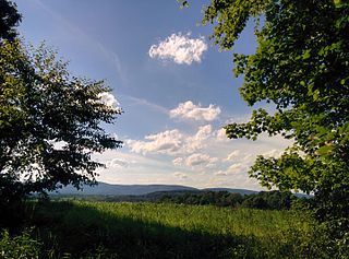
Ligonier Township is a township in Westmoreland County, Pennsylvania, United States. Ligonier Township entirely surrounds, but does not include, Ligonier Borough, which is a separate municipality. The township's population was 6,058 at the 2020 census.

Okanogan is a city in Okanogan County, Washington, United States. The population was 2,379 at the 2020 census, down from 2,552 at the 2010 census, within the Greater Omak Area. It is the seat of Okanogan County.


