Semerah | |
|---|---|
| Other transcription(s) | |
| • Jawi | سميره |
| • Chinese | 圣模那 |
 Semerah | |
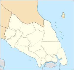 Semerah Semerah in Johor, Malay Peninsular and Malaysia  Semerah Semerah (Peninsular Malaysia)  Semerah Semerah (Malaysia) | |
| Coordinates: 1°52′56.59″N102°46′57.95″E / 1.8823861°N 102.7827639°E | |
| Country | |
| State | |
| District | |
| Time zone | UTC+8 (MYT) |
| Postal code |
|
Semerah (Jawi; سميره; Chinese :圣模那) is a town in both Batu Pahat District and Muar District in Johor, Malaysia. [1]
Contents
This town is basically a main street with old shophouses and a road to Semerah wet market (Pasar Semerah). They are mainly wooden structures with little or no civil foundation; some were rebuilt into concrete structures after fire damage or own effort. The east part of Semereh is within Muar town. There is a prominent Chinese Temple known as Tokong Kwang Yim Keng which was established before 1938, it is a prominent landmark and tourist attraction for the town.
