Tyronza, Arkansas | |
|---|---|
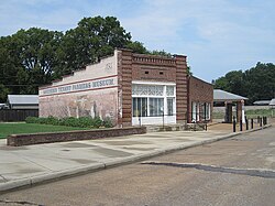 Southern Tenant Farmers Museum, August 2011 | |
 Flag Logo | |
 Location of Tyronza in Poinsett County, Arkansas. | |
| Coordinates: 35°29′12″N90°21′22″W / 35.48667°N 90.35611°W | |
| Country | United States |
| State | Arkansas |
| County | Poinsett |
| Incorporated | May 17, 1926 |
| Area | |
• Total | 1.56 sq mi (4.03 km2) |
| • Land | 1.56 sq mi (4.03 km2) |
| • Water | 0 sq mi (0.00 km2) |
| Elevation | 217 ft (66 m) |
| Population (2020) | |
• Total | 716 |
• Estimate (2024) | 675 |
| • Density | 460.4/sq mi (177.77/km2) |
| Time zone | UTC−06:00 (Central (CST)) |
| • Summer (DST) | UTC−05:00 (CDT) |
| ZIP Code | 72386 |
| Area code | 870 |
| FIPS code | 05-70700 |
| GNIS feature ID | 2405621 [2] |
Tyronza is a city [3] in Poinsett County, Arkansas, United States. The population was 716 at the 2020 census. It is included in the Jonesboro, Arkansas Metropolitan Statistical Area and is in the Arkansas Delta.
