Fairview is a town in northern Alberta within the heart of the Peace Country. It is located 82 km (51 mi) southwest of the Town of Peace River and 115 km (71 mi) north of Grande Prairie at the intersection of Highway 2 and Highway 64A.

Clearwater County is a municipal district in west central Alberta, Canada in Division No. 9. Its northwest boundary is the Brazeau River. The municipal office is located in the Town of Rocky Mountain House. The county has a land area of 18,691.65 km² and comprises close to 99% of Census Division No. 9's land area of 18,921.38 km². Although the territory excluded is rather small in geographical area, it comprises the major population centre of Rocky Mountain House, which has one-third of Division No. 9's population, in addition to the communities of Caroline, Burnstick Lake and three Indian reserves. The county's 2016 census population was 11,947.

Wabasca, also known as Wabasca-Desmarais, is a hamlet in northern Alberta, Canada, within the Municipal District of Opportunity No. 17. It is located between and along the South and North Wabasca Lakes, at the intersection of highways 813 and 754. It is approximately 123 km (76 mi) northeast of Slave Lake.

Lac des Arcs is a hamlet in Alberta, Canada within the Municipal District (M.D.) of Bighorn No. 8. It is located on the south side of the Bow River opposite the Hamlet of Exshaw and has an elevation of 1,320 metres (4,330 ft). Highway 1 borders Lac des Arcs on the south.

Cold Lake is a large lake in Central Alberta and Northern Saskatchewan, Canada. The lake straddles the Alberta/Saskatchewan border, and has a water area of 373 km2 (144 sq mi). It is also one of the deepest lakes in Alberta with a maximum depth of 99.1 m (325 ft). It has around 24 known species of fish in it and is a major ice fishing lake. It is also major stop for many migrating birds, and is home to one of the largest warbler populations in Alberta. A surface of 248 km2 (96 sq mi) lies in the province of Alberta.

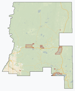
Northern Sunrise County is a municipal district in northern Alberta, Canada. Located in Census Division 17, its municipal office is located east of the Town of Peace River at the intersection of Highway 2 and Highway 688.

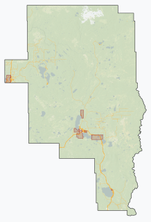
Mackenzie County is a specialized municipality in northern Alberta, Canada. It is located in Census Division 17, along the Mackenzie Highway. Incorporated as a municipal district in 1995 from the former Improvement District No. 23., its status was changed to specialized municipality in 1999 to address the particularities of managing such a large territory, which is 10% larger than New Brunswick. Mackenzie County municipal office is located in the Hamlet of Fort Vermilion. The name was changed from the Municipal District of Mackenzie No. 23 to Mackenzie County in 2007.

Bistcho Lake is a large lake in northwestern Alberta, Canada.

Lac la Biche is a large lake in north-central Alberta, Canada. It is located along the Northern Woods and Water Route, 95 km east of Athabasca. Lac la Biche has a total area of 236 km2 (91 sq mi), including 3.2 km2 (1.2 sq mi) islands area.

Utikuma Lake is a large lake in north-central Alberta, Canada. It is located 30 km (19 mi) north of the Lesser Slave Lake, between the Bicentennial Highway and Highway 750.

The Smoky River is a river in western Alberta, Canada. It is a major tributary of the Peace River. The descriptive name refers to the presence of "smouldering beds of coal in the riverbank" noted by the Cree Indians.

Cadotte Lake is an unincorporated community in northern Alberta, Canada within Northern Sunrise County. It is located on the northern shore of the homonymous lake, along Highway 986, 79 km (49 mi) east of Peace River and 68 km (42 mi) west of the Bicentennial Highway.

Conklin is a hamlet in northern Alberta, Canada within the Regional Municipality (R.M.) of Wood Buffalo. It is located on Highway 881 between Fort McMurray and Lac La Biche. It lies near the west end of Christina Lake at an elevation of 575 metres (1,886 ft), and was named for John Conklin, a railroad employee.

Beaver Lake is a hamlet in northern Alberta, Canada within Lac La Biche County. It is located on the shore of Beaver Lake, 4 kilometres (2.5 mi) east of Highway 55, approximately 116 kilometres (72 mi) northwest of Cold Lake.

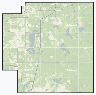
Little Buffalo is a hamlet in northern Alberta, Canada within Northern Sunrise County. It is located on Highway 986, approximately 100 kilometres (62 mi) northeast of the Town of Peace River and 47 kilometres (29 mi) west of Highway 88. Little Buffalo Lake is to the south of the community.

Paddle Prairie Metis Settlement is a Metis settlement in northern Alberta, Canada, along the northern boundary of the County of Northern Lights. It is located along the Mackenzie Highway (Highway 35), approximately 72 km (45 mi) south of the Town of High Level. Paddle Prairie Metis Settlement is the largest of eight Metis Settlements in the Province of Alberta. The community is rich in timber, natural resources and agricultural land. The community is also known for constructing solar power generating units for several of its community buildings.

Buffalo Lake Metis Settlement is a Metis settlement in northern Alberta, Canada within Smoky Lake County. It is located along Highway 855, approximately 125 km (78 mi) northeast of Edmonton.

Driedmeat Lake is a long ribbon lake in Alberta; part of the Battle River system. Its northern end is located approximately 10 km (6.2 mi) south of the city of Camrose. The city draws its water supply from the lake. It was originally created by a glacial meltwater channel, which carved the surrounding valley. In the valley and around it, Saskatoon berries, an ingredient of pemmican, grow and are endemic in the area.


