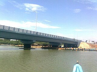
Kadirur is a census town and city suburb of Thalassery within the Thalassery Taluk of Kannur District in the State of Kerala, India. Kadirur is located about 8 km (5.0 mi) from the Thalassery Township. Kadirur is located on the Tellicherry-Mysore road.

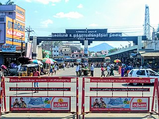
Puduvayal is a town in Karaikudi taluk, Sivaganga district in the Indian state of Tamil Nadu. It is a town located in the Chettinad region of the Sivagangai district. On road, it is 12 km away from Karaikudi and 21 km away from Aranthangi. This town is famous for its rice mills. Puduvayal is the 2nd largest rice producer in Tamil Nadu. Puduvayal is an important commercial centre for trade in the Sivaganga district and part of the suburban region of Karaikudi. The town is famous for its Veerasekara Umaiyambigai Temple. Nearby Kandanur is famous for Kandanur Sivan Kovil—which is a replica of the Madurai Meenakshi Temple—built by Nagarthars.
Tatiri is a town and a nagar panchayat in Baghpat district in the Indian state of Uttar Pradesh. The distance between Aggarwal Mandi Tatiri and Baghpat is 5 km. Tatiri is connected to two districts : Baghpat and Meerut, by road, via (NH-334B).Towards 5 km west SH-57 road which connects New Delhi- Baghpat - Baraut -Shamli - Saharanpur.
Dhariawad is a census town in Pratapgarh district in the state of Rajasthan, India. It is the administrative headquarters for Dhariawad Tehsil.
Dumarkunda is a census town in Nirsa CD block in Dhanbad Sadar subdivision of Dhanbad district in the state of Jharkhand, India.
Egarkunr is a census town in Nirsa CD block in Dhanbad Sadar subdivision of Dhanbad district in the state of Jharkhand, India.

Kashinagar is a town and headquarters of a community development block of the same name in Gajapati district in the Indian state of Odisha.

Makhu is a town and a nagar panchayat in Ferozepur district in Indian state of Punjab.
Panuhat is a census town in Katwa I CD Block of Katwa subdivision in Purba Bardhaman district in the Indian state of West Bengal.
Parasia is a census town in the Jamuria CD block in Asansol Sadar subdivision of Paschim Bardhaman district in the Indian state of West Bengal.

Ponneri is a town located in Chennai Metropolitan Area, Thiruvallur district in the Indian state of Tamil Nadu. It is located in Ponneri taluk. Ponneri is major destination for Andhra Pradesh people to buy goods. It is a part of the area Chennai Metropolitan Development Authority (CMDA) and a vital locality in Chennai Metropolitan Area.
Shiblibari is a census town in Nirsa CD block in Dhanbad Sadar subdivision of Dhanbad district in the Indian state of Jharkhand.

Tharamangalam is a Municipality in Salem district in the Indian state of Tamil Nadu.

Topchanchi is a census town in Topchanchi CD block in Dhanbad Sadar subdivision of Dhanbad district in the Indian state of Jharkhand.

Usilampatti is a town and a second grade municipality of Madurai district in the Indian state of Tamil Nadu. It is also a designated taluk and revenue division.
Uttar Goara is a census town in Kalna I CD Block in Kalna subdivision of Purba Bardhaman district in the Indian state of West Bengal.

Anjarakandy is a census town and grama panchayat in Kannur district of Kerala, India. Anjarakandy river is flowing through Anjarakandy town.
Mera is a census town in Nirsa CD block in Dhanbad Sadar subdivision of Dhanbad district in the Indian state of Jharkhand.
Sukkangalpatti is a panchayat town in Theni district in the Indian state of Tamil Nadu.

Chadiapada is a small village in Ganjam district of Odisha, India.


