| Bankstown Aerodrome Bankstown, New South Wales | |||||||||||||||
|---|---|---|---|---|---|---|---|---|---|---|---|---|---|---|---|
 Aerial view of Bankstown Aerodrome | |||||||||||||||
 | |||||||||||||||
| Coordinates | 33°55′S150°59′E / 33.917°S 150.983°E [1] | ||||||||||||||
| Population | 5 (2021 census) [2] | ||||||||||||||
| Established | 1994 | ||||||||||||||
| Postcode(s) | 2200 [3] | ||||||||||||||
| Elevation | 6 m (20 ft) | ||||||||||||||
| Location | 24 km (15 mi) SW of Sydney CBD | ||||||||||||||
| LGA(s) | City of Canterbury-Bankstown | ||||||||||||||
| State electorate(s) | East Hills | ||||||||||||||
| Federal division(s) | Watson | ||||||||||||||
| |||||||||||||||
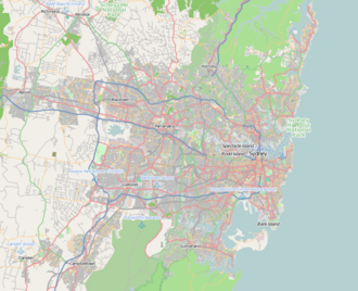
Bankstown Aerodrome is a suburb south-west of Sydney, in the state of New South Wales. The suburb was gazetted in May 1994 and is the location of the Bankstown Airport. The suburb is bounded by the Georges River in the west and Condell Park in the east. [1] In the 2021 census, Bankstown Aerodrome had a population of 5 people. [2]
