Bullyard

Last updated

Bullyard
Queensland
Australia Queensland location map.svg
Red pog.svg
Bullyard
Coordinates 24°57′07″S152°03′39″E / 24.9519°S 152.0608°E / -24.9519; 152.0608
Population206 (2021 census) [1]
 • Density6.023/km2 (15.60/sq mi)
Postcode(s) 4671
Area34.2 km2 (13.2 sq mi)
Location
LGA(s) Bundaberg Region
State electorate(s) Burnett
Federal division(s) Hinkler
Localities around Bullyard:
Damascus Bucca Bucca
Maroondan Bullyard Bucca
Maroondan Delan Bungadoo

Bullyard is a small rural town and locality in Bundaberg Region, Queensland, Australia. [2] [3] In the 2021 census, the locality of Bullyard had a population of 206 people. [1]

Contents

Geography

Bullyard is located off the Bruce Highway in Central Queensland, approximately 37 kilometres (23 mi) west of Bundaberg and 358 kilometres (222 mi) north-west of Brisbane, the state capital. It is a small community made up mostly of sugar cane growers, livestock & fruit and vegetable farmers. The Bundaberg-Gin Gin Road (State Route 3) runs through from east to west. [4]

Among the fruit and vegetable farms in the Bullyard area are tomato, mango, pineapple and potatoes.

Tagon

The neighbourhood of Tagon is located in the south of Bullyard ( 24°58′00″S152°03′00″E / 24.9666°S 152.0500°E / -24.9666; 152.0500 (Tagon) ); it takes its name from the former Tagon railway station on the now closed Mount Perry railway line. Tagon is an Aboriginal word for a particular species of tree. [5]

History

The town of Bullyard was developed primarily as a cane farming district in the late nineteenth century. The name, however, apparently relates to when a drover named CHARLES HOLMES was transporting bulls between Walla and Tantitha stations and he constructed a temporary yard for the bulls, hence "Bullyard". A railway station, called Kolan Railway Station, was erected in 1881 (on the Bundaberg-Mount Perry railway line, completed in 1884) and timber from the surrounding area was loaded onto trains there. Closer settlement, however, appears to have occurred somewhat later. A provisional school was established in 1901 and becoming a state school in 1909 (and a new school built in 1933), reflecting a small, but growing population at this time. The district was dominated by cane farms supplying the nearby Bingera Sugar Mill.

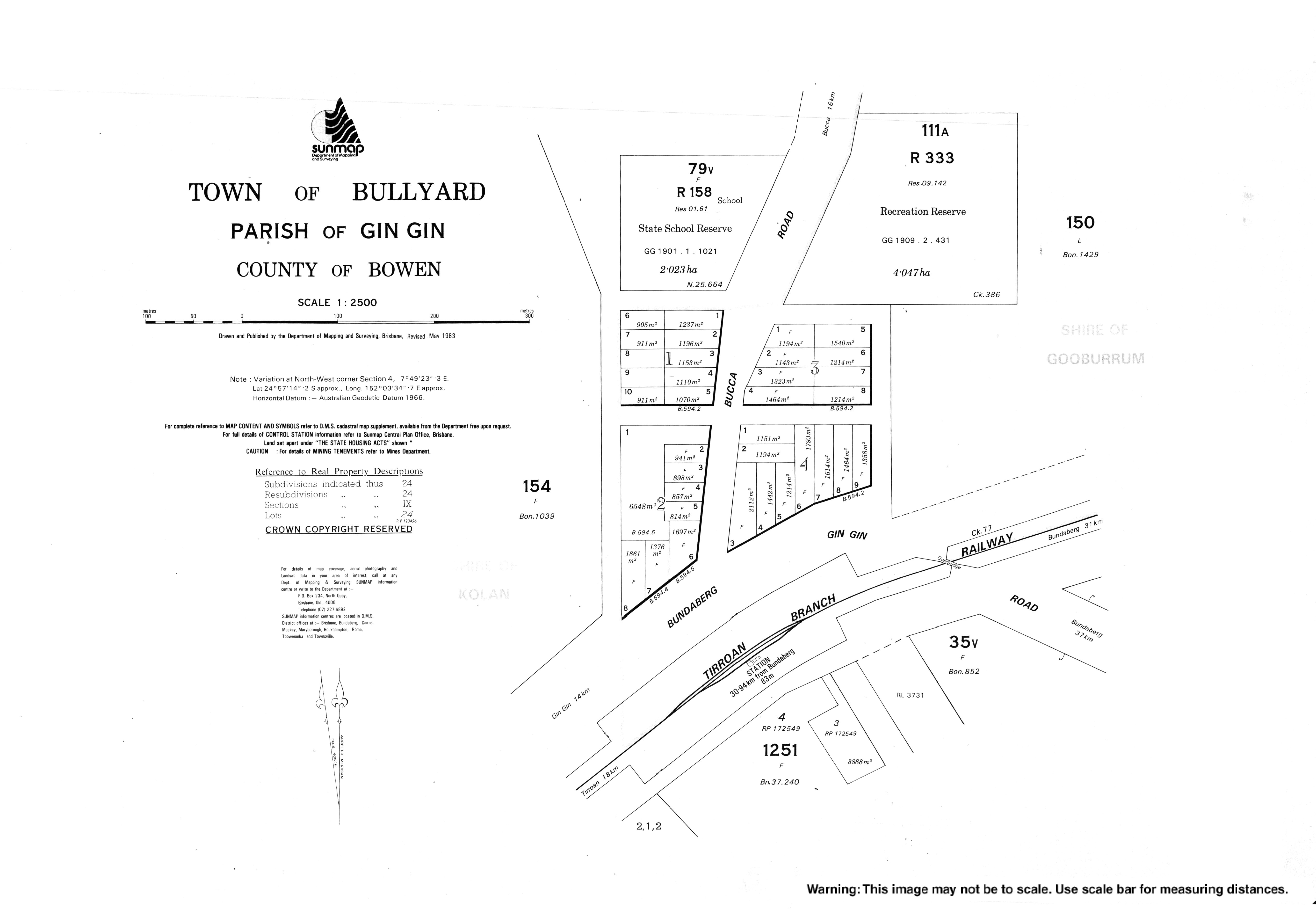
Bullyard Post Office opened on 1 July 1927 (a receiving office had been open from 1893, known as Kolan until 1897) and closed in 1972. [6]

On 29 November 1992, nearby Bucca was hit by the most violent tornado ever observed in Australia, rated F4 on the Fujita scale. Being only 15 kilometres (9.3 mi) away, Bullyard residents felt the brunt of the weather that came with the twister, reporting torrential rain and giant hailstones, described as the size of a "cricket ball". Across the region trees toppled in the unprecedented winds and many residents experienced roofing issues during this time. [7]

Demographics

In the 2016 census, the locality of Bullyard had a population of 189 people. [8]

In the 2021 census, the locality of Bullyard had a population of 206 people. [1]

Education

Bullyard has a state school that facilitates the town's primary aged children. The school was founded in 1921 and currently has an enrolment of 68, at its highest enrolment Bullyard State School held 82 students in 1992. [9] [10] The School's emblem has three parts, a bull, a cane tractor and a book with the motto "Freedom Through Knowledge" .Children are bused in from surrounding towns including Bucca, McIlwraith and Goondoon areas. High school aged children in the Bullyard area usually attend Gin Gin State High School though there are buses into Bundaberg for a range of other secondary and tertiary school facilities.

Across from the state school is the Bullyard Multipurpose Hall. It was used annually for the Bullyard Oktoberfest and various other school and community meetings and presentations.

Bullyard Hall

Bullyard Hall was built in 1908 by Samuel Kent on 10 acres of land purchased for that purpose.[ citation needed ] The hall was connected to electricity in 1952 and the hall was extended in 1957 with a bigger dance floor. Other additions included a stage, kitchen and ladies' room. The hall was repainted in the 1960s, with the exterior painted with linseed oil and burnt umber (giving the hall its distinctive appearance).[ citation needed ] The hall was, like other local public halls, used for social events such as dances. Movies were shown at the hall from the 1920s and it was also used for church services. Newspaper references from the 1930s through to the 1950s indicate the hall being used as a venue to sign up workers for the local cane crushing season. The hall grounds were also used for a range of sporting events. There are references to athletics competitions held at Bullyard from 1911 and the track was improved in 1913. A tennis club was formed in 1928 and tennis courts were constructed using crushed ant bed. Cricket was popular, so much so that the Cricket Club merged with the Hall Committee in 1930. Bullyard hosted cricket matches against local teams including Wallaville, Albionville, Gin Gin, Bucca and Bundaberg and the pitch was also constructed from ant bed, similar to the tennis courts. Bullyard Hall is located in the south-western corner of a 4 hectare reserve that in turn is located in the northern part of town on the eastern side of Bucca Road. A mostly circular fenced sports ground extends from the hall to the north and east. Most of the fenced, predominantly levelled grassed site has been cleared, some remaining scrub vegetation exists in the north and northeast and on the boundaries and it appears that the ring of trees on the perimeter of the sports ground have been deliberately planted. The hall consists of a low set weatherboard clad timber structure on timber stumps with a slight variation in height to level out the site and features a corrugated iron clad gable roof. An annex with skillion roof is attached on both sides of the main building. The main entrance is from the front via some steps onto a landing covered by a gable roof and double doors.[ citation needed ]

Related Research Articles

<span class="mw-page-title-main">Gin Gin, Queensland</span> Town in Queensland, Australia

Gin Gin is a rural town and locality in the Bundaberg Region, Queensland, Australia. In the 2021 census, the locality of Gin Gin had a population of 1,139 people.

<span class="mw-page-title-main">Giru, Queensland</span> Town in Queensland, Australia

Giru is a town and coastal locality in the Shire of Burdekin, Queensland, Australia, situated on the Haughton River, 54 kilometres (34 mi) south-east of Townsville. In the 2021 census, the locality of Giru had a population of 387 people.

<span class="mw-page-title-main">Shire of Kolan</span> Local government area in Queensland, Australia

The Shire of Kolan was a local government area located in the Wide Bay–Burnett region of Queensland, Australia, to the west of Bundaberg. The Shire, administered from the town of Gin Gin, covered an area of 2,650.6 square kilometres (1,023.4 sq mi), and existed as a local government entity from 1879 until 2008, when it was amalgamated with the City of Bundaberg and the Shires of Burnett and Isis to form the Bundaberg Region.

<span class="mw-page-title-main">Wallaville</span> Town in Queensland, Australia

Wallaville is a rural town and locality in the Bundaberg Region, Queensland, Australia. It is 372 kilometres (231 mi) north of the state capital, Brisbane and 43 kilometres (27 mi) south west of the regional centre of Bundaberg. In the 2021 census, the locality of Wallaville had a population of 363 people.

<span class="mw-page-title-main">Moore Park Beach, Queensland</span> Town in Queensland, Australia

Moore Park Beach is a coastal rural locality in the Bundaberg Region, Queensland, Australia. The coastal town of Moore Park is within the locality.

<span class="mw-page-title-main">Mount Perry railway line</span>

The Mount Perry Branch Railway is a closed railway line in Central Queensland, Australia. In 1869 copper was discovered at Mount Perry and the township grew rapidly. A railway to the coast was essential to provide cheap transport and make the mining of low percentage ore viable. Maryborough and Bundaberg vied for the opportunity to be the terminus and the latter city was successful.

<span class="mw-page-title-main">South Kolan</span> Town in Queensland, Australia

South Kolan is a rural locality in the Bundaberg Region, Queensland, Australia. In the 2021 census, the locality of South Kolan had a population of 1,258 people.

South Bingera is a rural residential locality in the Bundaberg Region, Queensland, Australia. In the 2021 census, South Bingera had a population of 674 people.

<span class="mw-page-title-main">Oakwood, Queensland</span> Suburb of Bundaberg Region, Queensland, Australia

Oakwood is a rural locality in the Bundaberg Region, Queensland, Australia. In the 2021 census, Oakwood had a population of 364 people.

Sharon is a rural locality in the Bundaberg Region, Queensland, Australia. In the 2021 census, Sharon had a population of 1,209 people.

<span class="mw-page-title-main">Alloway, Queensland</span> Suburb of Bundaberg Region, Queensland, Australia

Alloway is a rural locality in the Bundaberg Region, Queensland, Australia. In the 2021 census, Alloway had a population of 488 people.

Bungadoo is a rural locality in the Bundaberg Region, Queensland, Australia. The area was formerly known as Albionville. In the 2021 census, Bungadoo had a population of 342 people.

Avenell Heights is a southern suburb of Bundaberg in the Bundaberg Region, Queensland, Australia. In the 2021 census, Avenell Heights had a population of 5,028 people.

<span class="mw-page-title-main">Bucca, Queensland</span> Suburb of Bundaberg Region, Queensland, Australia

Bucca is a rural locality in the Bundaberg Region, Queensland, Australia. In the 2021 census, Bucca had a population of 1,063 people.

Delan is a mixed-use locality in the Bundaberg Region, Queensland, Australia. In the 2021 census, Delan had a population of 323 people.

Good Night is a rural locality split between the Bundaberg Region and the North Burnett Region, Queensland, Australia. It is also written as Goodnight. In the 2021 census, Good Night had a population of 151 people.

Morganville is a rural locality in the Bundaberg Region, Queensland, Australia.

Duingal is a locality in the Bundaberg Region, Queensland, Australia. In the 2021 census, Duingal had a population of 70 people.

Moorland is a rural locality in the Bundaberg Region, Queensland, Australia. In the 2021 census, Moorland had a population of 284 people.

Lake Monduran is a rural locality in the Bundaberg Region, Queensland, Australia. In the 2021 census, Lake Monduran had "no people or a very low population".

References

  1. 1 2 3 Australian Bureau of Statistics (28 June 2022). "Bullyard (SAL)". 2021 Census QuickStats. Retrieved 28 February 2023. OOjs UI icon edit-ltr-progressive.svg
  2. "Bullyard – town (entry 5159)". Queensland Place Names. Queensland Government . Retrieved 26 June 2017.
  3. "Bullyard – locality (entry 47126)". Queensland Place Names. Queensland Government . Retrieved 26 June 2017.
  4. Google (31 October 2023). "Bullyard, Queensland" (Map). Google Maps . Google. Retrieved 31 October 2023.
  5. "Tagon – unbounded locality in the Bundaberg Region (entry 33122)". Queensland Place Names. Queensland Government . Retrieved 15 April 2018.
  6. Premier Postal History. "Post Office List". Premier Postal Auctions. Retrieved 10 May 2014.
  7. Callaghan, Jeff. "Severe Thunder Storms and Bucca Tornado" (PDF). Bureau of Meteorology. Harden Up. Archived (PDF) from the original on 14 May 2015. Retrieved 10 February 2012.
  8. Australian Bureau of Statistics (27 June 2017). "Bullyard (SSC)". 2016 Census QuickStats. Retrieved 15 April 2018. OOjs UI icon edit-ltr-progressive.svg
  9. "Bullyard State School". Archived from the original on 28 January 2018. Retrieved 28 January 2018.
  10. "Opening and closing dates of Queensland Schools". Queensland Government . Retrieved 18 April 2019.