The crumhorn is a musical instrument of the woodwind family, most commonly used during the Renaissance period. In modern times, there has been a revival of interest in early music, and crumhorns are being played again.

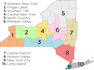
Panther Mountain is a mountain located in Central New York of New York near Fly Creek, New York and Schuyler Lake, New York. The east side of Panther Mountain drains into Fly Creek and the west side drains into Oaks Creek and Canadarago Lake.

Hooker Mountain is a mountain located in Central New York region of New York by Schenevus, New York.
Murphy Hill is a mountain located in Central New York Region of New York east of Cooperstown, New York.
Hemlock Hill is a mountain located in Central New York Region of New York southwest of Hartwick, New York.
Lane Hill is a mountain located in Central New York Region of New York east of Mount Vision, New York.
Baker Hill is a mountain located in Central New York Region of New York west of West Oneonta, New York.
Franklin Mountain is a mountain located in Central New York Region of New York south of Oneonta, New York.
Darling Hill is a mountain located in Central New York Region of New York west of Westford, New York.
Strain Mountain is a mountain in the Central New York region of New York. It is located northeast of South Worcester, New York.
Pine Mountain is a mountain in the Central New York region of New York. It is located northeast of East Worcester, New York.
Elliot Hill is a mountain in the Central New York Region of New York. It is located east of Gothicville, New York.
Noahs Rump is a mountain in the Central New York region of New York. It is located southwest of Plainfield Center, New York.
Welch Hill is a mountain in the Central New York Region of New York. It is located southeast of Plainfield Center, New York.
Mount Markham is a mountain in the Central New York region of New York. It is located southeast of Unadilla Forks, New York. On 1903 topographic maps it appears as "Fork Mountain", due to its proximity to the fork of the Unadilla River.
Round Top is a mountain in the Central New York region of New York. It is located southeast of East Winfield, New York.
Shacktown Mountain is a mountain in the Central New York region of New York. It is located south of Hoboken, New York.
Filer Hill is a mountain in the Central New York region of New York. It is located east of Rootville, New York.
Gifford Hill is a small mountain chain in the Central New York Region of New York. It is located northeast of Oneonta, New York. It is made of three main peaks the highest being 1928 feet. Gifford Hill is named for the Gifford Family who moved to the area in 1803 and settled along the Oneonta Creek on what is now called Gifford Hill.
Shankley Mountain is a mountain in the Central New York region of New York. It is located northwest of Cherry Valley, New York.