
Farrington Township is one of sixteen townships in Jefferson County, Illinois, USA. As of the 2010 census, its population was 567 and it contained 246 housing units.

Rochester Township is one of eight townships in Fulton County, Indiana. As of the 2010 census, its population was 10,181 and it contained 4,838 housing units.

Gregg Township is one of fourteen townships in Morgan County, Indiana, United States. As of the 2010 census, its population was 2,930 and it contained 1,161 housing units.

Union Township is one of twelve townships in Delaware County, Indiana. According to the 2010 census, its population was 2,838 and it contained 1,260 housing units.

Carl Township is one of twelve townships in Adams County, Iowa, USA. At the 2010 census, its population was 149.

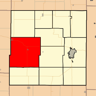
East Waterloo Township is one of seventeen rural townships in Black Hawk County, Iowa, USA. As of the 2000 census, its population was 5936.
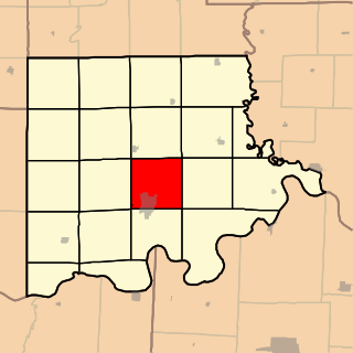
Center Township is one of seventeen townships in Cedar County, Iowa, USA. As of the 2000 census, its population was 3,945.

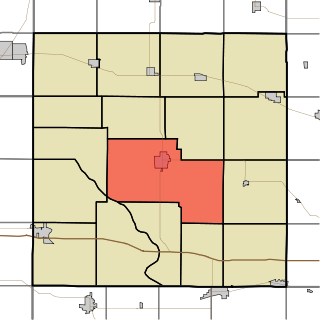
Rich Township is a township in Anderson County, Kansas, United States. As of the 2010 census, its population was 288.
Carrollton Township is one of twenty townships in Carroll County, Missouri, USA. As of the 2000 census, its population was 4,355.
Marion Township is a township in Bourbon County, Kansas, USA. As of the 2000 census, its population was 1,165.

Vernon Township is a township in Cowley County, Kansas, USA. As of the 2000 census, its population was 502.

Liberty Township is a township in Elk County, Kansas, USA. As of the 2000 census, its population was 117.

Zion National Park is an American national park located in southwestern Utah near the town of Springdale. A prominent feature of the 229-square-mile (590 km2) park is Zion Canyon, which is 15 miles (24 km) long and up to 2,640 ft (800 m) deep. The canyon walls are reddish and tan-colored Navajo Sandstone eroded by the North Fork of the Virgin River. The lowest point in the park is 3,666 ft (1,117 m) at Coalpits Wash and the highest peak is 8,726 ft (2,660 m) at Horse Ranch Mountain. Located at the junction of the Colorado Plateau, Great Basin, and Mojave Desert regions, the park has a unique geography and a variety of life zones that allow for unusual plant and animal diversity. Numerous plant species as well as 289 species of birds, 75 mammals, and 32 reptiles inhabit the park's four life zones: desert, riparian, woodland, and coniferous forest. Zion National Park includes mountains, canyons, buttes, mesas, monoliths, rivers, slot canyons, and natural arches.
Mount Zion Methodist Church, or variations, may refer to:
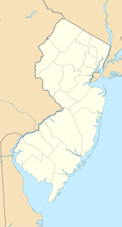
Timbuctoo is an unincorporated community in Westampton Township, Burlington County, New Jersey, United States.

Rum Hill is a mountain located in Central New York Region of New York northwest of the Hamlet of Pierstown. Red House Hill is located southeast, Metcalf Hill is located south, Allen Lake and Mohegan Hill are located north-northwest and Otsego Lake is located east of Rum Hill.

Mount Wellington is a mountain located in the Central New York Region of New York. It is located south of the Hamlet of Springfield Center at the northern end of Otsego Lake. Mount Wellington rises 600 feet (180 m) above lake level. The extreme southern point of the mountain is called Clarke Point and also referred to as the Shad Cam. It is known as "The Sleeping Lion", as it looks similar to a lion laying down, viewed from Cooperstown, New York. It was originally named Mount Millington, but was renamed by George Hyde Clarke in honor of Field Marshal The 1st Duke of Wellington, the victor of Waterloo, who had been Clarke's schoolmate at Eton College in England.

Mount Markham is a mountain in the Central New York region of New York. It is located southeast of Unadilla Forks, New York. On 1903 topographic maps it appears as "Fork Mountain", due to its proximity to the fork of the Unadilla River.
Mount Moses is a mountain in the Central New York region of New York. It is located west of Riverside and north of Sidney. The Unadilla River converges with the Susquehanna River southwest of Mount Moses. Hutchinson Hill is located north-northeast.
Mount Tom is a mountain in the Central New York region of New York. It is located north of Springfield Four Corners, New York.

