Mancheng District is a district of west-central Hebei province, China, in the eastern foothills of the Taihang Mountains. It is administratively part of Baoding prefecture-level city, of which the Mancheng is a northwestern suburb.

Jiutai is one of seven districts of the prefecture-level city of Changchun, the capital of Jilin Province, Northeast China. The district is surrounded by agricultural areas and is located around 50 kilometres (31 mi) northeast of downtown Changchun. Coal mining also is present in Jiutai. It borders Dehui to the north, Erdao District to the southwest, Kuancheng District to the west, as well as the prefecture-level city of Jilin to the south and east.

Sanhe is a county-level city administered by the Langfang prefecture-level city in eastern Hebei province, People's Republic of China. Sanhe city, Dachang Hui Autonomous County, and Xianghe County form the "Northern Three Counties of Langfang", an exclave of Hebei province surrounded by the Beijing and Tianjin municipalities.
Laohekou is a county-level city in the northwest of Hubei province, People's Republic of China. It is located on the Han River (Hanshui), near the Henan border.
Linjiang is a county-level city in southern Jilin province, People's Republic of China, located to the east of Tonghua, and not far from the border with North Korea. It is a county-level city under the administration of Baishan.
Changle County is under the administration of Weifang, in Shandong Province. The ancient Kingdom of Beihai was located to the west of present-day Changle County.

Benxi Manchu Autonomous County is an autonomous county under the administration of the prefecture-level city of Benxi, in the east of Liaoning province, China. It has a total area of 3,362 square kilometres (1,298 sq mi), and a population of approximately 300,000 people as of 2002.
Boli is a county of southeastern Heilongjiang province, People's Republic of China. It is the only county of the prefecture-level city of Qitaihe, the downtown area of which is about 32 kilometres (20 mi) to the east of the county seat.

Hejian is a county-level city under the administration of the prefecture-level city of Cangzhou, in the east-central part of Hebei province, China. As of 2017, the population was ca. 895,000 inhabitants and the city territory was 1,333 km2 (515 sq mi). Hejian is situated along China National Highway 106.
Fengrun District is a district of the city of Tangshan, Hebei province, People's Republic of China.
Qian'an is a county-level city in the northeast of Hebei province, China. It is under the administration of Tangshan City.
Laoting County, often mispronounced as Leting County in accordance with the alternative frequently used Mandarin pronunciation, is a county in the northeast of Hebei province, People's Republic of China, facing the Bohai Sea to the east and south. It is under the administration of Tangshan City.
Yicheng is a city in northwestern Hubei, People's Republic of China. It is under the administration of Xiangyang City.

Hanchuan is a county-level city in east-central Hubei province, People's Republic of China. It is under the administration of Xiaogan prefecture-level city. The city's urban area is located on the left bank of the Han River a few tens of kilometres upstream from Wuhan. However, the county-level city as an administrative unit also includes some land on the right bank of the river as well. The city has been served by the Hanchuan railway station on the Wuhan–Yichang railway. Hanchuan is a sister city of Martinez, California, United States.

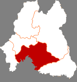
Yidu is a county-level city in western Hubei Province, China. It is under the administration of the prefecture-level city of Yichang. It has a population of 395,000 residents, and covers an area of 1,357 square kilometres (524 sq mi), divided into 1 subdistrict, 8 towns, and 1 township. Its GDP in 2015 was 50 billion yuan.

Panshi is a city of south-central Jilin province of Northeast China. It is under the administration of Jilin City.

Huinan County is a county of southwestern Jilin province, China. It is under the administration of Tonghua City, with a population of 350,000 residing in an area of 2,277 km2 (879 sq mi).

Lingyuan is a city in the west of Liaoning province in Northeast China, bordering Hebei province and Inner Mongolia. It is under the administration of Chaoyang City, which lies 94 kilometres (58 mi) to the east-northeast.

Chaoyang County is a county of northwestern Liaoning province, China. It is under the administration of Chaoyang city.
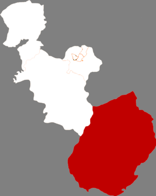
Xiuyan Manchu Autonomous County is a county in the southeast of Liaoning province, China, and is also one of the 11 Manchu autonomous counties and one of 117 autonomous counties nationally. It is under the administration of and occupies the southernmost portion of Anshan, the centre of which 136 kilometres (85 mi) to the north-northwest, and has a population of 500,000.
