
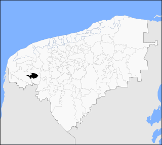
Guerrero is a state in Southwest Mexico that is divided into 85 municipalities. According to the 2020 Mexican census, Guerrero is the 13th most populous state with 3,540,685 inhabitants and the 14th largest by land area spanning 63,803.42 square kilometres (24,634.64 sq mi).

Ensenada is a municipality in the Mexican state of Baja California. It is the fourth-largest municipality in the country, with a land area of 19,526.8 km2 (7,539.3 sq mi) in 2020, making slightly smaller than the state of Hidalgo and larger than five other Mexican states.
Parras de la Fuente is a city located in the southern part of the Mexican state of Coahuila. The city serves as the municipal seat of the surrounding Parras Municipality, which has an area of 9,271.7 km2 (3,579.8 sq mi).

Halachó Municipality is a municipality in the Mexican state of Yucatán containing (671.91 km2) of land and located roughly 68 km southwest of the city of Mérida.

Zihuatanejo de Azueta is a municipality in the Mexican state of Guerrero. It includes the major resort communities of Zihuatanejo and Ixtapa in addition to numerous other towns. In 2010 it had a population of 118,211 inhabitants. It has an area of 1468 km². Its municipal seat is the city of Zihuatanejo. Its municipal president for the 2005-08 period was Silvano Blanco Deaquino.
Minatitlán is a municipality of the Mexican state of Colima. Its municipal seat is the city of Minatitlán, Colima. Its principal economic activities are farming, ranching and mining. Minatitlán borders the state of Jalisco to the northwest, the municipality of Manzanillo to the southwest, and the municipalities of Coquimatlán, Villa de Álvarez, and Comala to the southeast.

Reforma is a city and municipality in the Mexican state of Chiapas in southern Mexico.

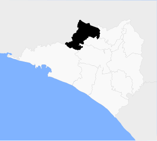
Castillo de Teayo Municipality is a municipality of the Mexican state of Veracruz. It is located in the state's Huasteca Baja region. The municipal seat is the village of Castillo de Teayo.
Castillo de Teayo is a small town in the Mexican state of Veracruz. Located in the state's Huasteca Baja region, it serves as the municipal seat for the surrounding municipality of the same name.

Atoyac de Álvarez is a municipality in the Mexican state of Guerrero. The municipal seat lies at Atoyac de Álvarez. The municipality covers an area of 1,638.4 km2 (632.6 sq mi).

Tlacotepec is a city in the southern Mexican state of Guerrero. It serves as the seat of the municipality of General Heliodoro Castillo.
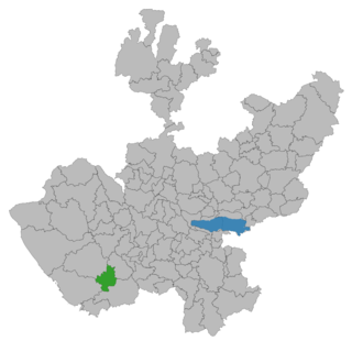
Casimiro Castillo is a municipality, in Jalisco in central-western Mexico. The municipality covers an area of 522.7 km².
Agua Dulce is a municipality in the Mexican state of Veracruz. It is located about 330 kilometres (210 mi) southeast from the state capital Xalapa. It has an area of 372.03 square kilometres (143.64 sq mi).

San Salvador el Verde (municipality) is a town and municipality in the Mexican state of Puebla in south-eastern Mexico. It is best known as the site of the Chautla Hacienda, which was the property of Eulogio Gillow, the first archbishop of Antequera (city of Oaxaca) and contains an English style residence called locally called "El Castillo" (The Castle). The facility today is run as a recreation center.
Teteles de Ávila Castillo (municipality) is a town and municipality in the Mexican state of Puebla in south-eastern Mexico.

Axtla de Terrazas is one of the 58 municipalities in the Mexican state of San Luis Potosí in central Mexico. The municipality was founded 1826, its name comes from Nahuatl (astlan) and is interpreted as: "Place of white herons", it was added de Terrazas in honor of the revolutionary Alfredo M. Terrazas.

Homún Municipality is a municipality in the Mexican state of Yucatán containing (192.89 km2) of land and located roughly 50 km southeast of the city of Mérida.
Kopomá Municipality is a municipality in the Mexican state of Yucatán containing (260.59 km2) of land and is located roughly 50 kilometres (31 mi) southwest of the city of Mérida.
General Pánfilo Natera is a municipality in the Mexican state of Zacatecas, located approximately 50 kilometres (31 mi) east of the state capital. It is named after Pánfilo Natera, commander of the Central Division of the Constitutional Army in the Mexican Revolution, and governor of Zacatecas in 1915 and from 1940 to 1944.
The Los Rojos Cartel is a Mexican criminal organization that emerged as a split from the Beltran-Leyva Cartel, being led at first by brothers Arturo "El Barbas" and Héctor "El Ingeniero", Alfredo "El Mochomo" and Jésus Nava Romero "El Rojo", hence the name of the group. The group also has an important participation in drug trafficking to the United States.


