
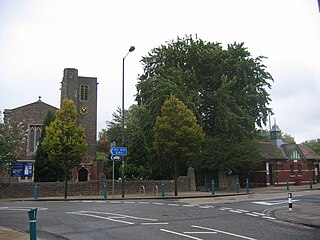
Thornhill is a community in the north of the city of Cardiff, Wales. It lies south of Caerphilly.

The M4, originally the London-South Wales Motorway, is a motorway in the United Kingdom running from west London to southwest Wales. The English section to the Severn Bridge was constructed between 1961 and 1971; the Welsh element was largely complete by 1980, though a non-motorway section around Briton Ferry bridge remained until 1993. On the opening of the Second Severn Crossing in 1996, the M4 was rerouted over it.

Newport is a city and county borough in Wales, situated on the River Usk close to its confluence with the Severn Estuary, 12 mi (19 km) northeast of Cardiff. The population grew considerably between the 2011 and the 2021 census, rising from 145,700 to 159,587, the largest growth of any unitary authority in Wales. Newport is the third-largest principal authority with city status in Wales, and sixth most populous overall. Newport became a unitary authority in 1996 and forms part of the Cardiff-Newport metropolitan area, and the Cardiff Capital Region.
Avonmouth is a port and outer suburb of Bristol, England, on the north bank of the mouth of the River Avon and the eastern shore of the Severn Estuary. Part of the Port of Bristol, Avonmouth Docks is important to the region's maritime economy, hosting large vessels for the unloading and exporting of heavier goods. Much of the land use is industrial, including warehousing, light industry, electrical power and sanitation. The M5 motorway bisects the neighbourhood, with junctions onto the A4 road and M49 motorway, and it has stations on the Severn Beach Line railway.
Lisvane is a community in the north of Cardiff, the capital of Wales, located 5 miles (8 km) north of the city centre. Lisvane is generally considered to be one of the wealthiest residential areas of Wales, with many properties worth in excess of £1 million. Lisvane had 3,319 residents in 2001 and comprises approximately 1,700 dwellings, a local village shop, primary school, community cabin library, park, nursery, parish church, public house, war memorial, Scout hall and community or village hall.
Gaer is a community and electoral district ("ward") of the city of Newport, South Wales.
Newport West was one of two parliamentary constituencies for the city of Newport, South Wales, in the House of Commons of the Parliament of the United Kingdom. It elected one Member of Parliament (MP) using the first-past-the-post voting system. Paul Flynn, of the Labour Party, was the MP from the 1987 general election until his death on 17 February 2019. Consequently, a by-election was held in the constituency on Thursday 4 April 2019 and Ruth Jones of the Labour Party was elected.

Ringland is a community and electoral ward of the city of Newport, South Wales.

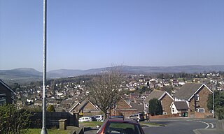
Rogerstone is a large village and community (parish) in Newport, Wales. The area is governed by Newport City Council. The village falls within the ancient parish of Bassaleg and historic county of Monmouthshire.

Bettws is a large modern housing estate, electoral ward and coterminous community (parish) of the city of Newport, South Wales.

Shaftesbury is a community and coterminous electoral district (ward) of the city of Newport, South Wales.

Alway is an electoral district (ward) and coterminous community of the city of Newport.
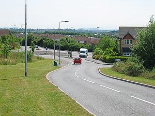
Pontprennau is a ward and community in the north of the city of Cardiff, Wales, lying north of Pentwyn and Cyncoed, between the village of Old St Mellons and the farmlands east of Lisvane. The community had a population of 7,353 in 2011.
Marshfield is a village and community of Newport, Wales. It sits approximately 5 miles southwest of Newport, and 7 miles northeast of Cardiff. The area is governed by Newport City Council. The community includes Castleton. Its population in 2011 was 3,054.

Langstone is a village and community of the City of Newport, Wales. The area is governed by the Newport City Council. The community had a population of 4,730 in 2019.

Coedkernew is a community in the south west of Newport, Wales, in the Marshfield ward.

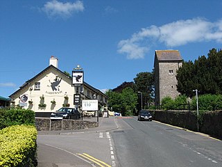
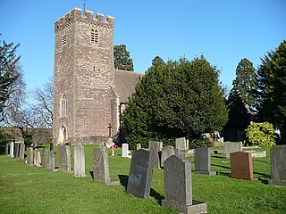
Bassaleg is a village on the west side of Newport, Wales. It is in the Graig electoral ward and community.

Castleton is a hamlet in the city of Newport, South Wales.

