Caerleon is a town and community in Newport, Wales. Situated on the River Usk, it lies 5 miles (8 km) northeast of Newport city centre, and 5.5 miles (9 km) southeast of Cwmbran. Caerleon is of archaeological importance, being the site of a notable Roman legionary fortress, Isca Augusta, and an Iron Age hillfort. Close to the remains of Isca Augusta are the National Roman Legion Museum and the Roman Baths Museum. The town also has strong historical and literary associations: Geoffrey of Monmouth elevated the significance of Caerleon as a major centre of British history in his Historia Regum Britanniae, and Alfred Lord Tennyson wrote Idylls of the King (1859–1885) while staying in Caerleon.

Newport is a city and county borough in Wales, situated on the River Usk close to its confluence with the Severn Estuary, 12 mi (19 km) northeast of Cardiff. The population grew considerably between the 2011 and the 2021 census, rising from 145,700 to 159,587, the largest growth of any unitary authority in Wales. Newport is the third-largest principal authority with city status in Wales, and sixth most populous overall. Newport became a unitary authority in 1996 and forms part of the Cardiff-Newport metropolitan area, and the Cardiff Capital Region.

Llanrumney is a suburb, community and electoral ward in east Cardiff, Wales.

St Mellons is a district and suburb of eastern Cardiff, the capital city of Wales. Prior to 1996 St Mellons was the name given to the community largely north of Newport Road (B4487) which included the old St Mellons village. After 1996 the old community was divided and renamed as Old St Mellons and Pontprennau, with the newer, much larger area of modern housing and business parks to the south of Newport Road retaining the St Mellons name. Historically in Monmouthshire, St Mellons became part of South Glamorgan and Cardiff in 1974.

Adamsdown is an inner city area and community in the south of Cardiff, the capital city of Wales. Adamsdown is generally located between Newport Road, to the north and the mainline railway to the south. The area includes Cardiff Prison, Cardiff Magistrates' Court, Cardiff Royal Infirmary, a University of South Wales campus, and many streets of residential housing. There are two primary schools in the area Adamsdown Primary School and Tredegarville Primary School.

Calcot, or Calcot Row, is a village in West Berkshire, England. Calcot is within the built-up area of Reading, located about 3 miles (4.8 km) out of the town centre, and straddles the historic A4 Bath Road. It sits between the hamlet of Horncastle and Junction 12 of the M4 motorway.

Newport East is a constituency in the city of Newport, South Wales, represented in the House of Commons of the UK Parliament since 2005 by Jessica Morden of the Labour Party.

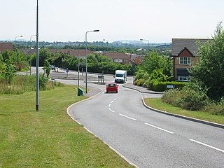
Rogerstone is a large village and community (parish) in Newport, Wales. The area is governed by Newport City Council. The village falls within the ancient parish of Bassaleg and historic county of Monmouthshire.

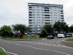
Alway is an electoral district (ward) and coterminous community of the city of Newport.

Graig is an electoral ward and coterminous community (parish) of the city of Newport, South Wales.
Pontprennau is a ward and community in the north of the city of Cardiff, Wales, lying north of Pentwyn and Cyncoed, between the village of Old St Mellons and the farmlands east of Lisvane. The community had a population of 7,353 in 2011.

Langstone is a village and community of the City of Newport, Wales. The area is governed by the Newport City Council. The community had a population of 4,730 in 2019.

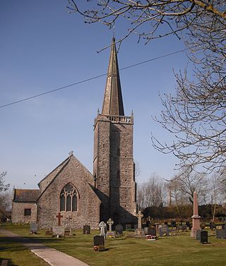
Llanwern is a village and community in the eastern part of the city of Newport, South East Wales. The name may be translated as "the church among the grove of the alders".

Talbot Green is a town just north of the M4 motorway, in the County Borough of Rhondda Cynon Taf, Wales in the United Kingdom. The town is part of Llantrisant Community Council.

The M4 relief road, also known as M4 Corridor around Newport (M4CaN), was a proposed motorway, south of the city of Newport, South Wales, intended to relieve traffic congestion on the M4 motorway.

Brynglas is an area of the city of Newport, South Wales, United Kingdom.

Caerleon railway station is a former station serving Caerleon on the east side of the city of Newport, UK and a proposed future station as part of the South Wales Metro.
Nash is a village and community to the south of the city of Newport, South Wales, in the Lliswerry ward.

Ridgeway is an area in Newport, Wales, in the electoral ward and community of Allt-yr-yn. It is well known for its ridge which overlooks Rogerstone and the nearby woodland areas. Ridgeway is at the end of the estate the main road breaks off onto the M4 motorway.