
Newport is a city and county borough in Wales, situated on the River Usk close to its confluence with the Severn Estuary, 12 mi (19 km) northeast of Cardiff. The population grew considerably between the 2011 and the 2021 census, rising from 145,700 to 159,587, the largest growth of any unitary authority in Wales. Newport is the third-largest principal authority with city status in Wales, and sixth most populous overall. Newport became a unitary authority in 1996 and forms part of the Cardiff-Newport metropolitan area, and the Cardiff Capital Region.

Newport is a town, community, electoral ward and ancient port of Parrog, on the Pembrokeshire coast in West Wales at the mouth of the River Nevern in the Pembrokeshire Coast National Park. The town gives its name to Newport Bay.

Llanelly is a village, community, and parish in the county of Monmouthshire, south-east Wales, within the historic county boundaries of Brecknockshire. It roughly covers the area of the Clydach Gorge. The population of the community and ward at the 2011 census was 3,899.

Lliswerry, or Liswerry, is an electoral district (ward) and community of the city of Newport, South Wales. The area is governed by Newport City Council. It is the largest community/ward in the city.

St Julians is a community and coterminous electoral district (ward) of the City of Newport, South Wales.

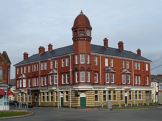
Merry Hill is a suburb of Wolverhampton, West Midlands and a ward of Wolverhampton City Council. It is situated in the south-west of the city, bordering South Staffordshire and the Tettenhall Wightwick, Park, Graiseley and Penn wards. It forms part of the Wolverhampton West constituency.

Malpas is an electoral district (ward) and coterminous community (parish) of the city of Newport, South Wales. The area is governed by the Newport City Council.
Pillgwenlly, usually referred to as Pill, is a community and electoral ward in the city of Newport, South Wales.

Shaftesbury is a community and coterminous electoral district (ward) of the city of Newport, South Wales.

Allt-yr-yn is a suburb of the city Newport, south-east Wales.

Beechwood is a community and coterminous electoral ward (division) of the city of Newport.

Coedkernew is a community in the south west of Newport, Wales, in the Marshfield ward.

Caerau is a community in the west of Cardiff, capital city of Wales. Often considered part of Wenvoe by gully, Heol Trelai is the main road or avenue, lined with large trees. Dominated mostly by private housing, it has the Western Leisure Centre, supermarkets, schools and churches.

The A606 is an A road in England that starts in West Bridgford, on the outskirts of Nottingham, and heads southeastwards through Leicestershire and the towns of Melton Mowbray and Oakham, terminating at Stamford, Lincolnshire on the former Great North Road.

Brynglas is an area of the city of Newport, South Wales, United Kingdom.

Cobridge is an area of Stoke-on-Trent, in the City of Stoke-on-Trent district, in the county of Staffordshire, England. Cobridge was marked on the 1775 Yates map as 'Cow Bridge' and was recorded in Ward records (1843) as Cobridge Gate.

High Street is the main historical street and the original main thoroughfare in the centre of Newport, South Wales. Nowadays it runs approximately 280m between Westgate Square and the Old Green Interchange.

