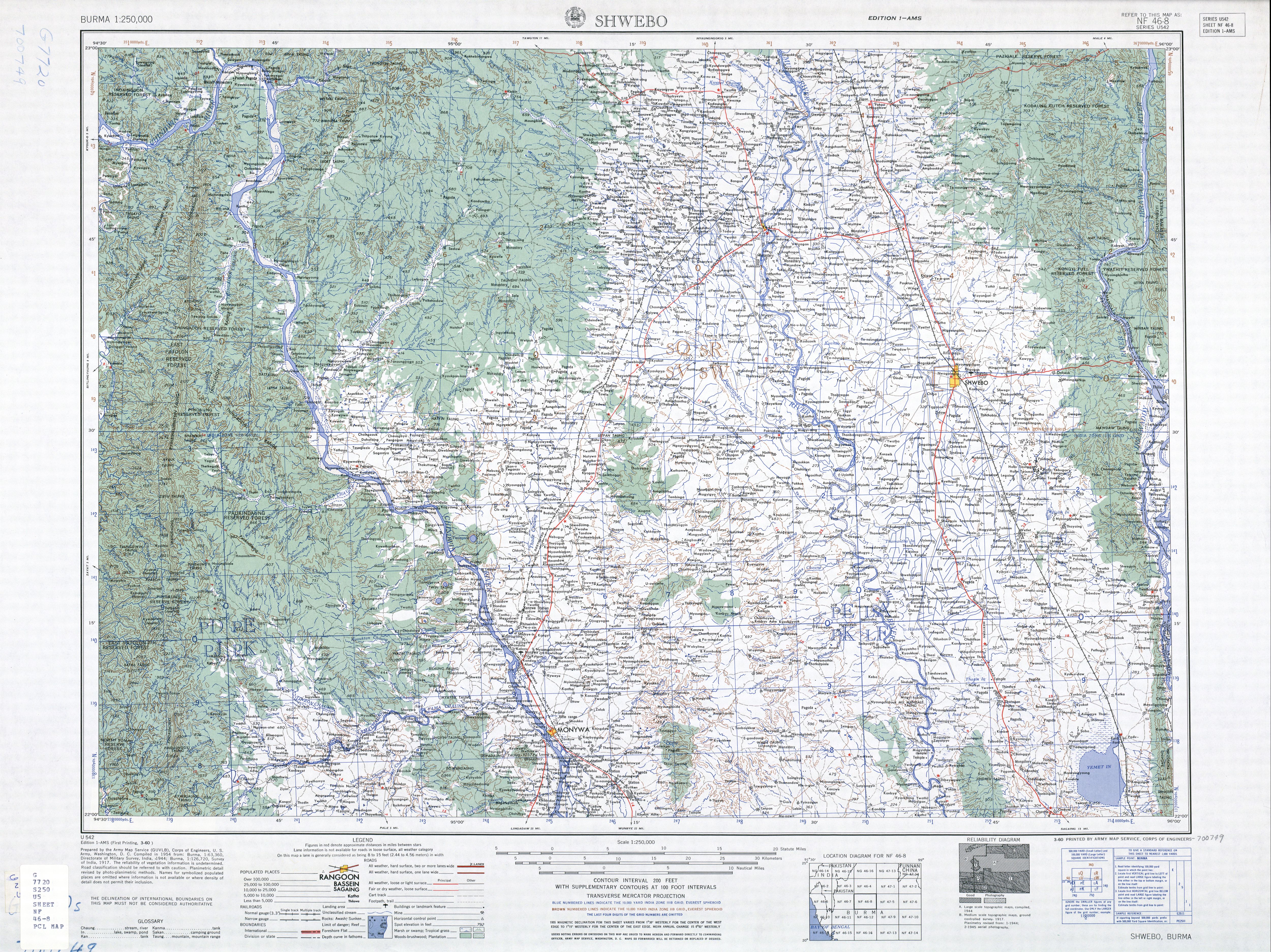
Shwebo District is a district in south-central Sagaing Division of Burma (Myanmar). Its administrative center is the city of Shwebo.
Sagaing Region is an administrative region of Myanmar, located in the north-western part of the country between latitude 21° 30' north and longitude 94° 97' east. It is bordered by India’s Nagaland, Manipur, and Arunachal Pradesh States to the north, Kachin State, Shan State, and Mandalay Region to the east, Mandalay Region and Magway Region to the south, with the Ayeyarwady River forming a greater part of its eastern and also southern boundary, and Chin State and India to the west. The region has an area of 93,527 km2. In 1996, it had a population of over 5,300,000 while its population in 2012 was 6,600,000. The urban population in 2012 was 1,230,000 and the rural population was 5,360,000. The capital is Sagaing.
Mu River is a river in upper central Myanmar (Burma), and a tributary of the country's chief river the Ayeyarwady. It drains the Kabaw valley and part of the Dry Zone between the Ayeyarwady to the east and its largest tributary Chindwin River to the west, flows directly north to south for about 275 km (171 mi) and enters the Ayeyarwady west of Sagaing near Myinmu.
Hanlin is associated with several other villages, Hanlin Taungngo, Hanlin Pindale, Halin Twinma, etc., that are sometimes referred to as the town of Hanlin.
This page is based on this Wikipedia article Text is available under the CC BY-SA 4.0 license; additional terms may apply. Images, videos and audio are available under their respective licenses.
Related Research Articles
Phyllachorales is a small order of perithecial sac fungi containing mostly foliar parasites. This order lacks reliable morphological characters making taxonomic placement of genera difficult. There is controversy among mycologists as to the boundaries of this order.
Ye-U is a town in the Shwebo District of the Sagaing Division in Myanmar.
Wetlet is a town in Shwebo District, Sagaing Division in Myanmar. It is the administrative seat for Wetlet Township. The town of Wetlet is located in the center of Wetlet Township, about halfway between the Mu River and the Irrawaddy. Wetlet is on the main Burmese north-south railroad between Sagaing and Shwebo.
Tabayin is a town in the Sagaing Division in Myanmar.
Hanlin is a village near Shwebo in the Sagaing Division of Myanmar. In the era of the Pyu city-states it was a city of considerable significance, possibly a local capital replacing Sri Ksetra. Today the modest village is noted for its hot springs and archaeological sites. Hanlin, Beikthano, and Sri Ksetra, the ancient cities of the Pyu Kingdom were built on the irrigated fields of the dry zone of the Ayeyawady River basin. They were inscribed by UNESCO on its List of World Heritage Sites in Southeast Asia in May 2014 for their archaeological heritage traced back more than 1,000 years to between 200 BC and 900 AD.
Shwebo Township is a township of Shwebo District in the Sagaing Region of Burma (Myanmar).
It is located on the plains between the Mu River and the Ayeyarwady River. The ancient palace of King Alaungmintaya is being excavated there. Its administrative seat is the city of Shwebo.
Mingin Township is a township of Kale District in Sagaing Division of Burma (Myanmar). The principal town and administrative seat is Mingin (Minking).
Wetlet Township is a township of Shwebo District in the Sagaing Division of Burma (Myanmar).
It is located on the plains between the Mu River and the Irrawaddy. Its administrative seat is the town of Wetlet.
Monywa District
is an administrative district in southern Sagaing Division, Burma (Myanmar). Its administrative center is the city of Monywa.
Sadaung is a small town in Sagaing District in the southeast of the Sagaing Division in Burma. It is located north of Okhnebin.
Tabayin Township is a township in Shwebo District in the Sagaing Division of Burma. The principal town is Tabayin.
Khin-U Township is a township in Shwebo District in the Sagaing Division of Burma.The principal town is Khin-U.
Ye-U Township is a township in Shwebo District in the Sagaing Division of Burma. The principal town is Ye-U.
Taze is a town in Shwebo District, Sagaing Division in Myanmar.
Sadaung is a village in Shwebo District in south-western Sagaing Region in Burma (Myanmar). It is in the Mu River drainage basin. It is located 2.5 km south-west of Halin Taungbo, in the foothills of the Mawdaw Mountains.
Ywatha is a village in Wetlet Township, Shwebo District, in south-western Sagaing Region in Burma (Myanmar), on the right (west) bank of the Irrawaddy River.
Kanbalu District is a district in Sagaing Division of Burma (Myanmar). Its administrative center is the city of Kanbalu.


