Pinlebu Township | |
|---|---|
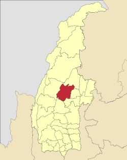
 Location in Kawlin district | |
 Location in Sagaing region | |
| Coordinates: 24°05′N95°22′E / 24.083°N 95.367°E | |
| Country | |
| Region | Sagaing Region |
| District | Kawlin District |
| Capital | Pinlebu |
| Time zone | UTC+6.30 (MST) |
Pinlebu Township is a township in Kawlin District (formerly part of Katha District) in the Sagaing Division of Burma. [1] The principal town is Pinlebu.

