History
Wuntho was a native state of Upper Burma when Burma was under British control. After the British annexed Upper Burma in 1885, Wuntho became a refuge for rebels and whom the British called bandits until in 1891, when a force of 1,800 British soldiers under General Sir George Wolseley occupied the town of Wuntho. In 1892 the state was formally annexed by the British and incorporated into the District of Katha. It was classed by the Burmese as a Shan state, but was never on the same footing as the Shan states to the east.
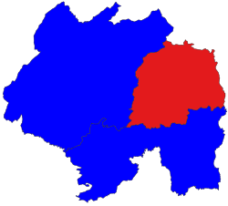
Wuntho had an area of around 2,400 square miles (6,200 km2) with 150,000 inhabitants and lay midway between the Ayeyarwady River and Chindwin River.
This page is based on this
Wikipedia article Text is available under the
CC BY-SA 4.0 license; additional terms may apply.
Images, videos and audio are available under their respective licenses.