Salingyi Township | |
|---|---|
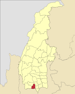
 Location in Yinmabin district | |
 Location in Sagaing region | |
 Salingyi Township Location in Myanmar | |
| Coordinates: 21°58′N95°5′E / 21.967°N 95.083°E | |
| Country | |
| Region | Sagaing Region |
| District | Yinmabin District |
| Capital | Salingyi |
| Time zone | UTC+6.30 (MST) |
Salingyi Township is a township in Yinmabin District in the Sagaing Division of Myanmar. [1] The principal town is Salingyi.
Over 7,800 acres (3,200 ha) of farmland have been confiscated in the township to establish a copper mine in Letpadaung, which will be jointly owned by the Union of Myanmar Economic Holdings (UMEHL) and the Chinese-owned Wenbao Copper Company, a subsidiary of Norinco. [2] [3]

