Tiruchirappalli District is one of the 38 districts, located along the Kaveri River, in Tamil Nadu, India. The headquarters of the district is the city of Tiruchirappalli.
Jalalpur is a town, tehsil and a municipal board in Ambedkar Nagar district in the Indian state of Uttar Pradesh, India.

Valangaiman is a town Panchayat in the Valangaiman taluk of Thiruvarur district in the Indian state of Tamil Nadu. It is the headquarters of Valangaiman Taluk.

Wandoor is a town in Nilambur Taluk, Malappuram District, Kerala, India. It is located on the southeast of Chaliyar River, about 24 kilometres northeast of the district seat Malappuram, and 8 km south of the taluk seat Nilambur. In the year 2011, the town has a population of 50,973.
Erikuthi is a village in Gudiyatham Taluk, Vellore District, Tamil Nadu, India. It lies near the state boundary with Andhra Pradesh, about 16 kilometres west of the subdistrict capital Gudiyatham, and 45 kilometres west of the district capital Vellore. As of 2011, it had a population of 8,057.
Odaikkarai is a village in Tiruvadanai Taluk, Ramanathapuram District, Tamil Nadu, India. It is located near the southern tip of the Indian subcontinent, about 43 kilometres north of the district seat Ramanathapuram, and 15 kilometres west of the taluk seat Tiruvadanai. As of the year 2011, it had a population of 394.

Thevalakkara is a village in the Karunagappally Taluk, Kollam District of the state of Kerala, India. It is located near the coast of the Indian Ocean, about 13 kilometres north of the district capital Kollam, and 7 kilometres southeast of the subdistrict capital Karunagappally. It contains a Devi temple along with a church and a mosque. The kadappa at Thevalakara is where ship masts (kadappa) were made for centuries. In 2011, it has a total population of 42,977.
Erumeli North is a village in Kanjirappally Taluk, Kottayam District, Kerala, India. It is located near the boundary with Idukki District, about 34 kilometres southeast of the district seat Kottayam, and about 6 kilometres southeast of the taluk seat Kanjirappally. In 2011, it has a population of 40,511.
Chinchali is a village in Raybag Taluk, Belagavi District, Karnataka, India. It is located near the state boundary with Maharashtra, approximately 84 kilometres north of the district seat Belgaum, and 10 kilometres northeast of the taluk seat Raibag. In the year 2011, the village has a population of 18,986.
Achatnahalli is a village in the Kolar taluk of the southern state of Karnataka, India and within the Division of Bangalore. As of the 2011 Indian Census, the village included a total population of 520 people consisting of 266 females and 254 males. The census also noted the village held a total of 129 households.
Mohare is a village in Bailhongal Taluk, Belagavi District of Karnataka, India. It is located near the state border with Maharashtra, about 26 kilometres east of the district seat Belgaum, and 16 kilometres northwest of the taluk seat Bailhongal. As of 2011, it has a total population of 2,365.

Kuruva is a village in Perinthalmanna Taluk, Malappuram District, Kerala, India. It is located along the National Highway 966, about 6 kilometres southeast of the district seat Malappuram, and 13 kilometres northwest of the taluk seat Perinthalmanna. As of the 2011 India Census, the population was 38,153.

Jalalpur is a village in Bachhrawan block of Rae Bareli district, Uttar Pradesh, India. As of 2011, its population is 1,742, in 354 households. It is located 2 km from Bachhrawan, the block headquarters, and the main staple foods are wheat and rice.

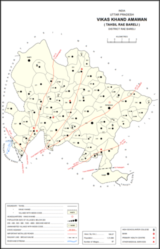
Jalalpur is a village in Amawan block of Rae Bareli district, Uttar Pradesh, India. It is located 15 km from Raebareli, the district headquarters. As of 2011, its population is 744, in 137 households. It has one primary school and no healthcare facilities.

Jalalpur Dhai is a village in Deenshah Gaura block of Rae Bareli district, Uttar Pradesh, India. It is located a short distance north of the Ganges, on the road from Dalmau to Mustafabad. As of 2011, it has a population of 5,520 people, in 966 households. It has one primary school and no healthcare facilities. Jalalpur Dhai hosts markets twice per week, on Wednesdays and Sundays, with cloth and vegetables being the main items traded.

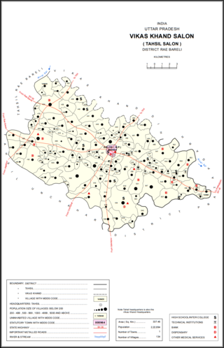
Kalu Jalalpur is a village in Salon block of Rae Bareli district, Uttar Pradesh, India. It is located 38 km from Raebareli, the district headquarters. As of 2011, Kalu Jalalpur has a population of 1,653 people, in 269 households. It has one primary school and no healthcare facilities, as well as a sub post office. It does not host a permanent market or a periodic haat.
Badavanahalli is a village within Madhugiri Taluk, Tumakuru District, Karnataka, India. It is located at 37 kilometres north of the district seat Tumkur, and 16 kilometres west of the subdistrict seat Madhugiri. In the year 2011, it has a total population of 4,332.

Palavoor is a village in Radhapuram Taluk, Tirunelveli District, Tamil Nadu, India. It is located near the coast of the Indian Ocean, about 60 kilometres south of the district seat Tirunelveli, and 14 kilometres southwest of the taluk seat Radhapuram. In 2011, the village had a total population of 17,780.
Mathighatta is a village in Chikkanayakahalli Taluk, Tumkur District, Karnataka, India. It is situated along the Karnataka State Highway 73, about 24 kilometres west of the district seat Tumkur, and 33 kilometres southeast of the taluk seat Chikkanayakana Halli. As of 2011, the village had a population of 1,843.
Kuruva is a village in Honnali Taluk, Davanagere District, Karnataka, India. It is located near the district boundary with Shimoga District, about 45 kilometres southwest of the district seat Davanagere, and 10 kilometres south of the subdistrict seat Honnāli. As of 2011, the village had a population of 1,609.


