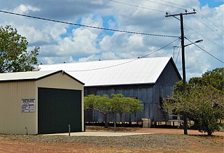
Dululu is a rural town and locality in the Shire of Banana, Queensland, Australia. In the 2021 census, the locality of Dululu had a population of 97 people.

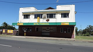
Thangool is a rural town and locality in the Shire of Banana, Queensland, Australia. In the 2016 census, the locality of Thangool had a population of 741 people.

Goovigen is a rural town and locality in the Shire of Banana, Queensland, Australia. In the 2016 census, the locality of Goovigen had a population of 215 people.

Wowan is a rural town and locality in the Shire of Banana, Queensland, Australia. In the 2016 census, the locality of Wowan had a population of 216 people.

Jambin is a rural town and locality in the Shire of Banana, Queensland, Australia. In the 2021 census, the locality of Jambin had a population of 207 people.

Karara is a rural town and locality in the Southern Downs Region, Queensland, Australia. In the 2016 census, the locality of Karara had a population of 123 people.

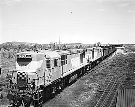
The Dawson Valley Branch Railway was a railway line in Central Queensland, Australia. It branched from the Central Western railway line at Kabra in the Rockhampton Region and went via Mount Morgan to Theodore in the Shire of Banana. It opened in a series of sections between 1898 and 1927, and featured a rack railway section, one of only 3 such systems in Australia.

Baree is a rural locality in the Rockhampton Region, Queensland, Australia. In the 2021 census, Baree had a population of 201 people.
Camboon is a rural locality in the Shire of Banana, Queensland, Australia. In the 2021 census, Camboon had a population of 76 people.

Gogango is a rural town and locality in the Rockhampton Region, Queensland, Australia. In the 2016 census the locality of Gogango had a population of 111 people.
Bakers Bend is a rural locality in the Shire of Murweh, Queensland, Australia. In the 2021 census, Bakers Bend had a population of 7 people.
Kumbarilla is a town and rural locality in the Western Downs Region, Queensland, Australia. In the 2016 census, the locality of Kumbarilla had a population of 197 people.
Kurumbul is a rural town and locality in the Goondiwindi Region, Queensland, Australia. It is on the border of Queensland and New South Wales. In the 2016 census, Kurumbul had a population of 46 people.
Rywung is a locality in the Western Downs Region, Queensland, Australia.
Callide is a rural town and locality in the Shire of Banana, Queensland, Australia. In the 2016 census, the locality of Callide had a population of 86 people.

Lawgi Dawes is a rural locality in the Shire of Banana, Queensland, Australia. It contains the neighbourhood of Lawgi, a former town.
Dakenba is a rural locality in the Shire of Banana, Queensland, Australia. In the 2021 census, Dakenba had a population of 127 people.
Orange Creek is a rural locality in the Shire of Banana, Queensland, Australia. In the 2021 census, Orange Creek had a population of 197 people.

Mount Alma is a rural locality in the Gladstone Region, Queensland, Australia. In the 2016 census, Mount Alma had a population of 47 people.
Wura is a rural locality in the Rockhampton Region, Queensland, Australia. In the 2021 census, Wura had a population of 17 people.


