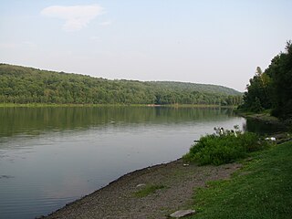
Livingston County is a county in the U.S. state of Michigan. As of the 2020 Census, the population was 193,866. It is part of the Detroit-Warren-Dearborn, MI Metropolitan Statistical Area. The county seat and most populous city is Howell. The county was platted in 1833, but for three years remained assigned to Shiawassee and Washtenaw counties for revenue, taxation and judicial matters. It was formally organized in 1836. As one of Michigan's "Cabinet counties", a group of ten counties whose names honor members of President Andrew Jackson's Cabinet, it is named after former US Secretary of State Edward Livingston. Livingston County's location in Southeast Michigan offers residents relatively convenient access to the metropolitan centers of Detroit, Lansing, Ann Arbor, and Flint. Livingston County residents regularly commute to those centers, using the three major expressways which pass through the county: I-96, US 23, and M-59. Although continuing to be composed largely of bedroom communities, the county is experiencing and maintaining significant growth in both the service and industrial economic sectors. Major employers include Tribar, PepsiCo, Citizens Insurance, and ThaiSummit. The Brighton Recreation Area is in the county.

Hamburg Township is a civil township of Livingston County in the U.S. state of Michigan. As of the 2010 census, the township population was 21,165. It is the most populated municipality in Livingston County.

The Kal-Haven Trail, formally known as the Kal-Haven Trail Sesquicentennial State Park, is a rail trail in the USA that originally ran 33.5 miles (53.9 km) between South Haven, Michigan, to a point just west of the city of Kalamazoo, Michigan, where there is a trailhead. In 2008, the trail was extended east from the trailhead to downtown Kalamazoo as part of the Kalamazoo River Valley Trail.
Van Buren Trail State Park, also known as Trail State Park, is an unimproved rail trail running along a former railroad right-of-way between Hartford, Michigan to South Haven, Michigan in Van Buren County. It is 14 miles (23 km) long and is used by hikers, mountain bikers and horse trail riders in the summer and snowmobilers in the winter. Terrain is flat with farmland and trees.

C-66 is a county-designated highway in the US state of Michigan running about 28 miles (45 km) across the northern tip of the Lower Peninsula. The roadway starts in the unincorporated community of Cross Village in Emmet County at an intersection with M-119 and C-77. It follows Levering Road through rural areas to an interchange with Interstate 75 (I-75) west of Cheboygan. The eastern terminus is at an intersection with US Highway 23 (US 23) and M-27 in downtown Cheboygan. The first roadways along what is now C-66 were in place by the early 20th century. Segments were paved by 1936, although some reverted to a gravel surface during World War II. The full roadway was paved by the mid-1950s, and the C-66 moniker was designated on the roadway in the early 1970s.
Fred Meijer White Pine Trail State Park is a 92-mile (148 km) long linear state park in the U.S. state of Michigan.
Harrisville State Park is a public recreation area covering 107 acres (43 ha) on the shore of Lake Huron off U.S. Route 23 in Harrisville and Harrisville Township, Alcona County, Michigan. The state park contains more than 100 acres of heavily forested land as well as a mile-long sandy beach. It is considered an important location for birders, with large and varied migratory populations of warblers and other song birds. The park is administered by the Michigan Department of Natural Resources.
William Field Memorial Hart–Montague Trail State Park, previously and more commonly known as Hart–Montague Trail State Park, is a linear state park in Michigan that consists of a bicycle trail running from the city of Montague in Muskegon County to the city of Hart in Oceana County.

Minnesota State Highway 68 (MN 68) is a 141.026-mile-long (226.959 km) highway in southwest and south-central Minnesota, which runs from South Dakota Highway 22 at the South Dakota state line near Canby, and continues east to its eastern terminus at its intersection with U.S. Highway 169 and State Highway 60 in South Bend Township near Mankato.

Minnesota State Highway 89 (MN 89) is a 143.650-mile-long (231.182 km) highway in northwest Minnesota, which runs from its intersection with U.S. Highway 2 at Eckles Township, just north of Wilton and continues north to its northern terminus at the Canadian border, where it becomes Manitoba Highway 89, near Pinecreek.
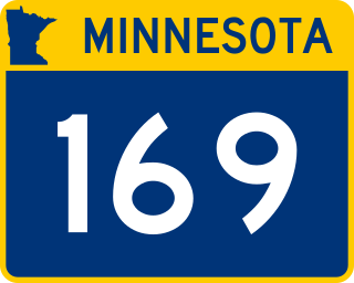
Minnesota State Highway 169 is a 48.853-mile-long (78.621 km) highway in northeast Minnesota, which runs from its interchange with U.S. Highway 53 in Wuori Township and continues northeast to its northern terminus at the intersection of Lake County Road 18 and Power Dam Road in Fall Lake Township. State Highway 169 becomes Lake County Road 18 at this point.

The Schuylkill River Trail is a multi-use trail along the banks of the Schuylkill River in southeastern Pennsylvania. Partially complete as of 2018, the trail is ultimately planned to run about 140 miles (230 km) from the river's headwaters in Schuylkill County to Fort Mifflin in Philadelphia.
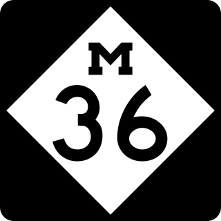
M-36 is a state trunkline highway in the Lower Peninsula of the US state of Michigan that runs in a west–east direction from Mason to Whitmore Lake. The trunkline connects US Highway 127 (US 127) south of Lansing and US 23 north of Ann Arbor. The highway connects several smaller communities in the rural areas along its route. M-36 also runs concurrently with two other roadways, sharing pavement with M-52 and County Road D-19. According to traffic surveys in 2010, between 650 and 15,300 vehicles used the highway on average each day.

Gregory is an unincorporated community in Livingston County in the U.S. state of Michigan. The community is located within Unadilla Township. As an unincorporated community, Gregory has no legally defined boundaries or population statistics of its own but does have its own post office with the 48137 ZIP Code.
Prompton State Park is a Pennsylvania state park on 2,000 acres (809 ha) in Clinton and Dyberry Townships, Wayne County, Pennsylvania in the United States. This park, which was established in 1962, is officially listed by the Pennsylvania Department of Conservation and Natural Resources as being undeveloped. This means that it is officially a state park but the PA-DCNR is not currently managing the park. However, the lands of the park are open to visitors. Friends of Prompton State Park, a grassroots organization is working to take over management of the park in much the same way that Salt Springs State Park in Susquehanna County is managed by The Friends of Salt Springs Park. Northeast Sports Ltd. of Honesdale sponsors several outdoor sports events that are held at the park. Prompton State Park is 4.2 miles (6.8 km) west of Honesdale on Pennsylvania Route 170.
Pennsylvania Route 177 is a 9.6-mile-long (15.4 km) state highway located in York County, Pennsylvania. The southern terminus is an intersection with PA 74 and Township Route 4026 in Rossville. From this intersection, PA 177 bisects the southwestern portion of Pinchot Lake and continues along the northwestern side of Gifford Pinchot State Park. Just south of Lewisberry, PA 177 intersects PA 382 and marks the northern terminus of PA 392 to the north of town. The northern terminus is at PA 262 between Yocumtown and Frogtown, just after an interchange with Interstate 83 (I-83).

Pinckney State Recreation Area is a Michigan state recreation area in Dexter, Sylvan and Lyndon Townships, Washtenaw County and Putnam and Unadilla Townships, Livingston County in the U.S. state of Michigan. The park is 11,000 acres (4,500 ha) and sits at an elevation of 922 feet (281 m). The park is connected to the nearby Waterloo State Recreation Area by the 35-mile (56 km) Waterloo–Pinckney Trail. Pinckney State Recreation Area is open for year-round recreation including hiking, fishing, swimming, hunting and a variety of winter sports.

The roads and freeways in metropolitan Detroit comprise the main thoroughfares in the region. The freeways consist of an advanced network of interconnecting freeways which include Interstate highways. The Metro Detroit region's extensive toll-free freeway system, together with its status as a major port city, provide advantages to its location as a global business center. There are no toll roads in Michigan.
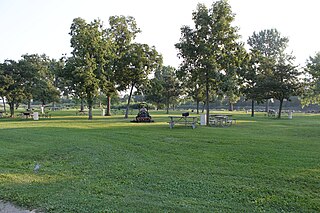
Lake Erie Metropark is a park in the Huron-Clinton system of metro parks. The park is a 1,607-acre (6.50 km2) recreational facility located between the mouth of the Huron River on Lake Erie to the south and the City of Gibraltar to the north, and consists of natural marshes and ponds, hike and bike trails, nature trails, a marina, and a boat launch. The park also has a wave action swimming pool, an 18-hole regulation golf course, and the Marshlands Museum and Nature Center. It has a three-mile (5 km) shoreline along Lake Erie and is a popular bird-watching site. The children's play area, located near the Wave Pool, previously consisted of a child-size city before being reconstructed into a modernized playground.

Luce Line Trail is a 74.9-mile (120.5 km), shared-use path in Minnesota, United States, that stretches from Cosmos to Minneapolis. The trail system was built after 1995, when the Luce Line Railroad was abandoned west of Interstate 494. The previous line extended 104 miles (167 km) to Gluek. The multi-use trail has varying surface features, though it is primarily made up of crushed limestone or aggregate base, and the section from Cosmos to Cedar Mills is undeveloped, as are the sections from just west of Hutchinson to Winsted and east of Plymouth. The trail is maintained by the Minnesota Department of Natural Resources west of Vicksburg Lane where it is named Luce Line State Trail. East of Vicksburg Lane, it is maintained by the Three Rivers Park District and named Luce Line Regional Trail.