This article is written like a travel guide .(August 2021) |

Leader's Gardens is a public urban park [1] on the banks of the River Thames in the London Borough of Wandsworth, between Putney and Barnes town centres. [2]
This article is written like a travel guide .(August 2021) |

Leader's Gardens is a public urban park [1] on the banks of the River Thames in the London Borough of Wandsworth, between Putney and Barnes town centres. [2]
The park has an area of 1.267 hectares, there are entrances from Putney Embankment on the north west, Ashlone Road to the south and Festing Road to the east. [3] The small river Beverley Brook runs along the west side of the park and into the Thames.
At the north-west corner there is an old council building, now occupied by the Wandsworth, Chelsea and Fulham Sea Cadets and other youth groups. The park is part of Putney Embankment Conservation Area, which includes some of the oldest buildings in Putney. [4]
The area was laid out in 1890 on land from the estate of English politician John Temple Leader [4] by Putney Parish and Leader Estate surveyor J C Radford, it was opened in 1903. [5]

The gate at the Putney Embankment entrance is the original from 1903 and is made of cast iron, [6] as are the railings surrounding the park, which have ornamental ball finials topped with tall spikes. [4]
The Putney Sculpture Trail by sculpturer Alan Thornhill begins in the park, Exodus is in the centre of the park and was installed in 2008. [7] [8]
The park has mature horse chestnut trees [9] and a bug hotel was added in 2017 [10]
LooLoo's cafe is in the park and has public toilets [11]
The children's playground is for under 7 year olds, [12] new equipment was installed in 2012 [13] with a rubber surface, [14] and there is also skateboard area.
In 2017 a new play garden was laid out with logs and stepping stones. [15]
There are three all weather tennis courts on the south side of the park [16] [17] which can be booked via All Star Tennis. [18]
The park is served by Transport for London buses 22 and 265 which stop on the Lower Richmond road, Putney Bridge tube station (District line) and Putney railway station (Southwestern Railway) are both a 15 minute walk from the park. [19] The Santander Cycles Putney Pier docking station is an 8 minute walk from the park. [20]

Roehampton is an area in southwest London, in the Putney SW15 postal district, and takes up a far western strip, running north to south, in the London Borough of Wandsworth. It contains a number of large council house estates and is home to the University of Roehampton.

Wandsworth is a London borough in South West London, England. It forms part of Inner London and has an estimated population of 329,677 inhabitants. Its main communities are Battersea, Balham, Putney, Tooting and Wandsworth Town.

Southfields is a district of inner London located within the London Borough of Wandsworth, England, 5.6 miles (9 km) south-west of Charing Cross. Southfields is mainly residential, historically a part of Wandsworth itself, and is divided between the SW18 and SW19 postcode areas.
Putney Lower Common is an open parkland space in the London Borough of Wandsworth between the town centres of Putney and Barnes. It is part of Wimbledon and Putney Commons, lying 1.5 miles from the rest of the common area.

Putney Pier is a pier on the River Thames at Putney, in the London Borough of Wandsworth.

The Putney Sculpture Trail encompasses nine sculptures by the British sculptor Alan Thornhill which are permanently publicly sited along the south side of the River Thames to either side of Putney Bridge, in the London Borough of Wandsworth.

Putney School of Art and Design (PSAD) is an art college in Putney, in the London Borough of Wandsworth.

Wandsworth Park is a Grade II listed public urban park on the banks of the River Thames in the London Borough of Wandsworth, situated between Putney and Wandsworth town centres.
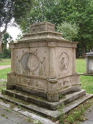
Putney Old Burial Ground is a public urban park and former cemetery in the London Borough of Wandsworth near Putney town centre.
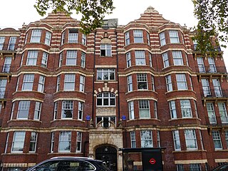
Kenilworth Court is an Edwardian residential building in Putney in the London Borough of Wandsworth, it has had several notable residents.
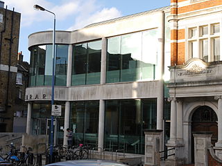
Putney Library is a Grade II listed public library in the London Borough of Wandsworth.
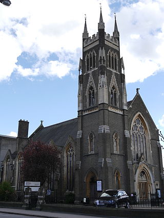
Putney Methodist Church is a Grade II listed church in Putney, in the London Borough of Wandsworth.

Putney Exchange is an indoor shopping centre in Putney, in the London Borough of Wandsworth. It was built in 1990, revamped in 2014, and is owned by BlackRock.
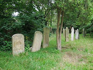
Putney Lower Common Cemetery is a cemetery on the edge of the London Borough of Wandsworth between Putney and Barnes town centres.

Putney Park Lane is an unmade road and public urban park in the London Borough of Wandsworth between Putney and Roehampton town centres.

Putney Pocket Park is a public pocket park in the London Borough of Wandsworth near to Putney town centre.

The 2022 Wandsworth London Borough Council elections took place on 5 May 2022.

Putney Leisure Centre is a public sports complex in Putney, in the London Borough of Wandsworth.

Spring Passage, Putney is a historic alleyway in Putney, in the London Borough of Wandsworth, with Grade II Listed bollards at both ends.