| Plumstead Common | |
|---|---|
 Autumnal view (near Plumstead Common Road) | |
 | |
| Type | common land, urban park |
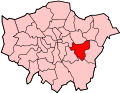
| Location | Plumstead, London |
| Coordinates | 51°28′55″N0°04′41″E / 51.482042°N 0.078020°E |
| Area | 41.7 hectares (103 acres) [1] |
| Public transit access | Plumstead railway station |
Plumstead Common is a common and urban park in Plumstead in the Royal Borough of Greenwich (SE18), south-east London. It is part of the South East London Green Chain.


