Lesnewth
| |
|---|---|
 Typical South-West England complex hedgerows patterns in part of the rolling Valency valley in the civil parish. | |
 Lesnewth Location within Cornwall | |
| Population | 60 (Civil Parish, 2001) [1] |
| OS grid reference | SX131903 |
| Civil parish |
|
| Unitary authority | |
| Ceremonial county | |
| Region | |
| Country | England |
| Sovereign state | United Kingdom |
| Post town | BOSCASTLE |
| Postcode district | PL35 |
| Dialling code | 01840 |
| Police | Devon and Cornwall |
| Fire | Cornwall |
| Ambulance | South Western |
| UK Parliament | |
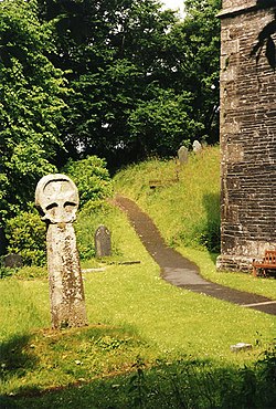
Lesnewth (Cornish : Lysnowydh) [2] is a civil parish and village in Cornwall, England, United Kingdom. It is about six miles east of Tintagel Head and two miles east of Boscastle. [3]
Contents
The parish is bounded on the north by St Juliot (where the 2011 census population is included.), on the east by St Juliot and Davidstow, on the south by Davidstow, and on the west by Minster, Cornwall. It is a small sparsely populated parish set in farmland with only a few houses, farms and a church. [4] Lesnewth manor is mentioned in the Domesday Survey of 1086, as Lisniwen. [5] Lesnewth was also the name of one of ten ancient administrative shires of Cornwall: see Lesnewth (hundred).
Lesnewth lies within the Cornwall Area of Outstanding Natural Beauty (AONB).