Related Research Articles
Owari Province was a province of Japan in the area that today forms the western half of Aichi Prefecture, including the modern city of Nagoya. The province was created in 646. Owari bordered on Mikawa, Mino, and Ise Provinces. Owari and Mino provinces were separated by the Sakai River, which means "border river." The province's abbreviated name was Bishū (尾州).

Toyokawa is a city in the eastern part of Aichi Prefecture, Japan. As of 1 October 2019, the city had an estimated population of 183,930 in 72,949 households, and a population density of 1,141 persons per km2. The total area of the city is 161.14 square kilometres (62.22 sq mi). Toyokawa, famous for its Toyokawa Inari temple, has a good balance of industry, commerce, agriculture and forestry, and is situated in an area rich in history, traditions, and culture.
Tahara is a city in Aichi Prefecture, Japan. As of 1 October 2019, the city had an estimated population of 60,206 in 22,576 households, and a population density of 315 persons per km2. The total area of the city is 191.12 square kilometres (73.79 sq mi).

Mikawa Province was an old province in the area that today forms the eastern half of Aichi Prefecture. Its abbreviated form name was Sanshū. Mikawa bordered on Owari, Mino, Shinano, and Tōtōmi Provinces.

Aichi Prefecture is a prefecture of Japan located in the Chūbu region of Honshū. Aichi Prefecture has a population of 7,552,873 and a geographic area of 5,172.92 square kilometres (1,997.28 sq mi) with a population density of 1,460 inhabitants per square kilometre (3,800/sq mi). Aichi Prefecture borders Mie Prefecture to the west, Gifu Prefecture and Nagano Prefecture to the north, and Shizuoka Prefecture to the east. Nagoya is the capital and largest city of the prefecture.

Nishikasugai is a district located on the central Owari Region in Aichi Prefecture, Japan.

Kōta is a town located in Nukata District, Aichi Prefecture, in the Tōkai region of Japan. As of 1 October 2019, the town had an estimated population of 42,200 in 16,198 households, and a population density of 744 persons per km2. The total area of the town was 56.72 square kilometres (21.90 sq mi).

Nukata is a district located in central Aichi Prefecture, Japan.

Obara was a village located in Nishikamo District, north-central Aichi Prefecture, Japan.

Asahi was a town located in Higashikamo District, north-central Aichi Prefecture, Japan.
Higashikamo was a district located in Nishimikawa Region in central Aichi Prefecture, Japan.

Kitashitara is a district located in northeastern Aichi Prefecture, Japan.

Minamishitara was a district located in eastern Aichi Prefecture, Japan.

Hoi was a district located in eastern Aichi Prefecture, Japan.
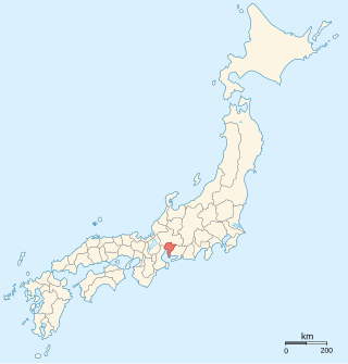
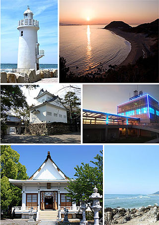
Atsumi was a town located in Atsumi District, Aichi Prefecture, Japan.
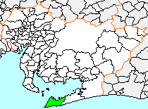
Atsumi was a district located in southern Aichi Prefecture, Japan, located on the Atsumi Peninsula in Mikawa Bay.
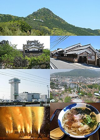
Toyohashi is a city in Aichi Prefecture, Japan. As of 1 December 2019, the city had an estimated population of 377,453 in 160,516 households and a population density of 1,400 persons per km2. The total area of the city was 261.86 square kilometres (101.10 sq mi). By area, Toyohashi was Aichi Prefecture's second-largest city until March 31, 2005, when it was surpassed by the city of Toyota, which had merged with six peripheral municipalities.
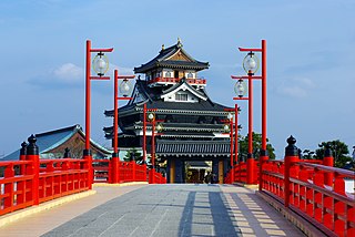
Kiyosu is a city in Aichi Prefecture, Japan. As of 1 October 2019, the city had an estimated population of 69,687 in 29,477 households, and a population density of 4,017 persons per km². The total area of the city is 17.35 square kilometres (6.70 sq mi).
Yana was a rural district located in eastern Aichi Prefecture, Japan.
References
This article incorporates material and references from Japanese Wikipedia.
- ↑ 市制施行準備(平成24年1月4日「長久手市」誕生に向けて) Archived 2012-01-08 at the Wayback Machine Nagakute Town official site, retrieved on August 13, 2011 (in Japanese)
- ↑ "「セントレア」見直しへ 新市名に抗議殺到で". 2015-02-20. Archived from the original on 2015-02-20. Retrieved 2024-04-24.
- ↑ "「南セントレア市」不成立 住民投票で合併反対". 2015-02-20. Archived from the original on 2015-02-20. Retrieved 2024-04-24.
| Nagoya |
| |||
|---|---|---|---|---|
| Core cities | ||||
| Special city | ||||
| Cities | ||||
| Districts | ||||
| Former Districts | ||||