Related Research Articles

A national grassland is an area of protected and managed federal lands in the United States authorized by Title III of the Bankhead–Jones Farm Tenant Act of 1937 and managed by the United States Forest Service. For administrative purposes, they are essentially identical to national forests, except that grasslands are areas primarily consisting of prairie. Like national forests, national grasslands may be open for hunting, grazing, mineral extraction, recreation and other uses. Various national grasslands are typically administered in conjunction with nearby national forests.

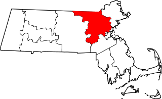
This is a listing of places in Middlesex County in the U.S. state of Massachusetts that are listed in the National Register of Historic Places. With more than 1,300 listings, the county has more listings than any other county in the United States.

List of the National Register of Historic Places listings in Herkimer County, New York

The following properties are listed on the National Register of Historic Places in Brooklyn.

This is a list of the National Register of Historic Places listings in St. Louis County, Missouri.

This is a list of the National Register of Historic Places listings in Marion County, Indiana.
Uxbridge, Massachusetts has 53 sites on the National Register of Historic Places.

This is a list of the National Register of Historic Places listings in Marin County, California.

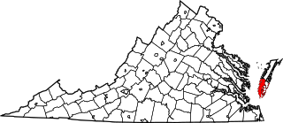
This is intended to be a complete list of the properties and districts on the National Register of Historic Places in Northampton County, Virginia, United States. The locations of National Register properties and districts for which the latitude and longitude coordinates are included below, may be seen in an online map.

This is a list of the National Register of Historic Places listings in Iberia Parish, Louisiana.

This list includes properties and districts listed on the National Register of Historic Places in Wilson County, North Carolina. Click the "Map of all coordinates" link to the right to view a Google map of all properties and districts with latitude and longitude coordinates in the table below.

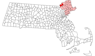
This is intended to be a complete list of the properties and districts on the National Register of Historic Places in Methuen, Massachusetts, United States. The locations of National Register properties and districts for which the latitude and longitude coordinates are included below, may be seen in an online map.
This is a list of properties and historic districts on the National Register of Historic Places within the city limits of St. Louis, Missouri, south of Interstate 64 and west of Downtown St. Louis. For listings in Downtown St. Louis, see National Register of Historic Places listings in Downtown and Downtown West St. Louis. For those north of I-64 and west of downtown, see National Register of Historic Places listings in St. Louis north and west of downtown. For listings in St. Louis County and outside the city limits of St. Louis, see National Register of Historic Places listings in St. Louis County, Missouri.

This is a list of the National Register of Historic Places listings in Jasper County, Missouri.

This is a list of the National Register of Historic Places listings in Buchanan County, Missouri.

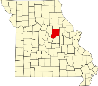
This is a list of the National Register of Historic Places listings in Callaway County, Missouri.

This is a list of the National Register of Historic Places listings in St. Charles County, Missouri.

This is a list of the National Register of Historic Places listings in Taney County, Missouri.

This is a list of the National Register of Historic Places listings in Cooper County, Missouri.
References
- ↑ Peakbagger.com. Retrieved 05 May 2012.
- ↑ AMC NE 4000 Footer List. Retrieved 05 May 2012.