Related Research Articles

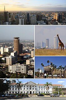
Nairobi is the capital and the largest city of Kenya. The name comes from the Maasai phrase Enkare Nairobi, which translates to "cool water", a reference to the Nairobi River which flows through the city. The city proper had a population of 4,397,073 in the 2019 census, while the metropolitan area has a population of 9,354,580. The city is popularly referred to as the Green City in the Sun.

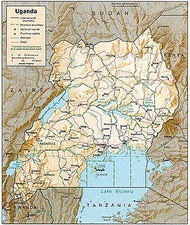
Transport in Uganda refers to the transportation structure in Uganda. The country has an extensive network of paved and unpaved roads.

Limuru is a town in central Kenya. It is also the name of a parliamentary constituency and an administrative division. The population of the town, as of 2004, was about 4,800, in a census taken in 2019 the population had increased to 159,314.

Wundanyi is a town in the Taita-Taveta County of Kenya. Other urban centres in the county include Voi, Taveta and Mwatate.

Taita–Taveta County is a county of Kenya. It lies approximately 140 km northwest of Mombasa and 380 km southeast of Nairobi. The County headquarters are located in Mwatate, which is central to the county.

Kajiado County is a county in the former Rift Valley Province of Kenya. As of 2019, Kajiado county spanned an area of 21,292.7 km2, with a recorded population of 1,117,840. The county borders Nairobi and extends to the Tanzania border further south. The county capital is Kajiado town, but the largest town is Ongata Rongai. Its main tourist attraction is its wildlife.

Taveta is a town in the Taita-Taveta County, Kenya.

Parklands, Nairobi, commonly referred to simply as Parklands, is a neighbourhood in the city of Nairobi, the capital and largest city in Kenya. It is divided into numbered avenues. The name arises from the proximity of the area to City Park, Nairobi.

Malindi Airport is an airport in Kenya.

Nanyuki Airfield is an airport in Nanyuki, Kenya.

Mtito Andei is a town in Makueni County, Kenya.
Equity Bank Uganda Limited (EBUL), is a commercial bank in Uganda. It is licensed by the Bank of Uganda, the central bank and national banking regulator. EBUL is a subsidiary of Equity Group Holdings Limited, a financial services conglomerate with headquarters in Kenya and subsidiaries in six countries of the African Great Lakes Region.

Malaba, Uganda is a town in Tororo District in the Eastern Region of Uganda, on its eastern border with Kenya. It sits adjacent from Malaba, Kenya, across the Malaba River that marks the border between Uganda and Kenya.

Kiserian is a town in Kenya's Rift Valley Province, Kajiado county. Kiserian town is bordered by Ongata Rongai, Ngong Town, Enoomatasiani town and Kisamis town. It lies at the foot of the Ngong Hills, along Magadi Road just adjacent to the Kiserian dam. There is a famous Maasai community around Kiserian town and small Maasai villages called Olteyani and Olooseos. Among other social amenities, Kiserian has several primary schools and secondary schools, and a few higher education institutions. In the language of the Maasai, Kiserian means "a place of peace".

Illasit is a settlement in Kenya's Rift Valley Province near the Kenya-Tanzanian border.

Upper Hill is a district of the city of Nairobi, the capital and largest city of Kenya. The district has seen an increase in major construction in recent years, with several multinational corporations setting up offices.

Embu Airport is an airport in Kenya.

Garba Tula Airport is an airport in Kenya.

Loitokitok, also Oloitokitok, is a town in Kajiado County, Kajiado South Constituency close to the Tanzania and Kenya border.

Loitokitok Airstrip is an airstrip in Loitokitok, Kenya.