
Thomas County is a county located in the U.S. state of Georgia. As of the 2020 census the population was 45,798. The county seat is Thomasville. Thomas County comprises the Thomasville, GA micropolitan statistical area.

Mitchell County is a county in the U.S. state of Georgia. As of the 2020 census, the population was 21,755. The county seat is Camilla. Mitchell County was created on December 21, 1857.
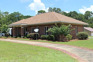
Newton is a city in Baker County, Georgia, United States. As of the 2020 census, the city population was 602. The city is the county seat of Baker County.

Edison is a city in Calhoun County, Georgia, United States. Per the 2020 census, the population was 1,230. The Edison Commercial Historic District is listed on the National Register of Historic Places.
Leary is a city in Calhoun County, Georgia, United States. The population was 524 in 2020.

Morgan is a city in Calhoun County, Georgia, United States. The population was 1,741 at the 2020 census. The city is the county seat of Calhoun County.

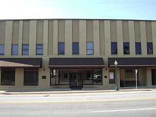
Blakely is a city in and the county seat of Early County, Georgia, United States. As of 2020, its population was 5,371. It is located approximately halfway between Columbus and Tallahassee, Florida on U.S. Route 27.
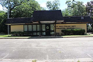
Damascus is a city in Early County, Georgia, United States. The population was 212 in the 2020 census, down from 254 in the 2010 census.
Cairo is a city in Grady County, Georgia, United States. As of the 2020 census, the city had a population of 10,179. The city is the county seat of Grady County.

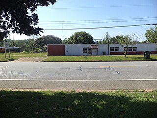
Whigham is a city in Grady County, Georgia, United States. The population was 428 in 2020.

Oglethorpe is a city in Macon County, Georgia, United States. The population was 995 at the 2020 census, down from 1,328 in 2010. The city is the county seat of Macon County. It was named for Georgia's founder, James Oglethorpe.

Woodbury is a city in Meriwether County, Georgia, United States. The population was 908 at the 2020 census.

Colquitt is a city and the county seat of Miller County, in the southwestern portion of the U.S. state of Georgia. The population was 2,001 at the 2020 census. Colquitt has been the county seat of Miller County since Miller County was incorporated by the Georgia Legislature in 1856. The city formally incorporated on December 19, 1860, and is Miller County's only incorporated municipality. Colquitt is named for U.S. Congressman and Senator Walter Terry Colquitt.

Baconton is a city in Mitchell County, Georgia, United States. As of the 2020 census, the city had a population of 856, down from 915 in 2010.

Camilla is a city in Mitchell County, Georgia, United States, and is its county seat. As of the 2020 census, the city had a population of 5,187, down from 5,360 in 2010.

Pelham is a city in Mitchell County, Georgia, United States. The population was 3,507 at the 2020 census, down from 3,898 in 2010. Pelham is well known for its agriculture, with vast farming of cotton and pecans in the area.
Sale City is a town in Mitchell County, Georgia, United States. The population was 354 at the 2020 census.

Richland is a city in Stewart County, Georgia, United States. Per the 2020 census, the population was 1,370.

The city of Jeffersonville is the largest city and county seat of Twiggs County, Georgia, United States. The population was 1,035 at the 2010 census, down from 1,209 in 2000.


