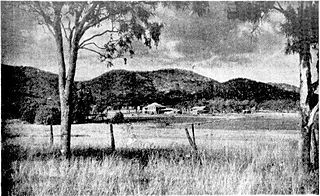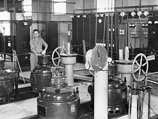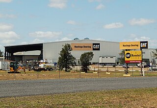
Mount Morgan is a rural town and locality in the Rockhampton Region, Queensland, Australia. The town was the administrative centre of the Mount Morgan Shire until March 2008, when it was amalgamated with neighbouring local government areas to form the Rockhampton Region.

Gracemere is a rural town and locality in the Rockhampton Region, Queensland, Australia. In the 2021 census, the locality of Gracemere had a population of 12,023 people.

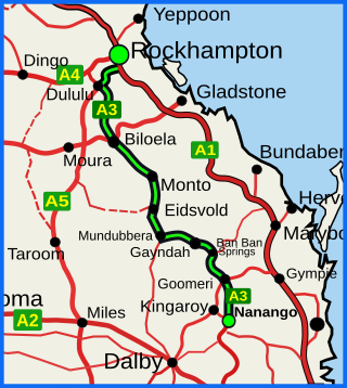
The Burnett Highway is an inland rural highway located in Queensland, Australia. The highway runs from its junction with the Bruce Highway at Gracemere, just south of Rockhampton, to the D'Aguilar Highway in Nanango. Its length is approximately 542 kilometres. The highway takes its name from the Burnett River, which it crosses in Gayndah. The Burnett Highway provides the most direct link between the northern end of the New England Highway and Rockhampton. It is designated as a State Strategic Road by the Queensland Government.

Marmor is a rural town and locality in the Rockhampton Region, Queensland, Australia. In the 2021 census, the locality of Marmor had a population of 208 people.

Port Alma is a coastal town, locality and port in the Rockhampton Region, Queensland, Australia. In the 2021 census, Port Alma had "no people or a very low population".

Raglan is a rural town and locality in the Gladstone Region, Queensland, Australia. In the 2021 census, the locality of Raglan had a population of 143 people.

Bouldercombe is a rural town and locality in the Rockhampton Region, Queensland, Australia. In the 2021 census, the locality of Bouldercombe had a population of 1,117 people.
Kabra is a rural town and locality in the Rockhampton Region, Queensland, Australia. In the 2021 census, the locality of Kabra had a population of 430 people.

Bajool is a rural town and locality in the Rockhampton Region, Queensland, Australia. In the 2021 census, the locality of Bajool had a population of 447 people.
Struck Oil is a rural locality in the Rockhampton Region, Queensland, Australia. In the 2021 census, Struck Oil had a population of 151 people.

Yaamba is a rural town and locality in the Livingstone Shire, Queensland, Australia. In the 2021 census, the locality of Yaamba had a population of 51 people.

Fairy Bower is an outer suburb of Rockhampton in the Rockhampton Region, Queensland, Australia. In the 2021 census, Fairy Bower had a population of 99 people.

Port Curtis is a suburb of Rockhampton in the Rockhampton Region, Queensland, Australia. In the 2021 census, Port Curtis had a population of 309 people.
Ironpot is a rural locality in the Livingstone Shire, Queensland, Australia. In the 2021 census, Ironpot had a population of 184 people.

Etna Creek is a rural locality in the Livingstone Shire, Queensland, Australia. In the 2021 census, Etna Creek had a population of 1,029 people.
Garnant is a rural locality in the Rockhampton Region, Queensland, Australia. In the 2021 census, Garnant had a population of 90 people.
Pink Lily is a rural locality in the Rockhampton Region, Queensland, Australia. The proposed Rockhampton Ring Road will pass through Pink Lily. In the 2021 census, Pink Lily had a population of 193 people.
Nankin is a rural locality in the Livingstone Shire, Queensland, Australia. In the 2021 census, Nankin had a population of 176 people.
Bondoola is a rural locality in the Livingstone Shire, Queensland, Australia. In the 2021 census, Bondoola had a population of 551 people.
Limestone Creek is a suburb in the Rockhampton Region, Queensland, Australia. In the 2021 census, Limestone Creek had a population of 179 people.


