Gracemere Queensland | |||||||||||||||
---|---|---|---|---|---|---|---|---|---|---|---|---|---|---|---|
Coordinates | 23°26′21″S150°27′21″E / 23.4391°S 150.4558°E | ||||||||||||||
Population | 11,315 (2016 census) [1] | ||||||||||||||
• Density | 161.41/km2 (418.1/sq mi) | ||||||||||||||
Postcode(s) | 4702 | ||||||||||||||
Area | 70.1 km2 (27.1 sq mi) | ||||||||||||||
Time zone | AEST (UTC+10:00) | ||||||||||||||
LGA(s) | Rockhampton Region | ||||||||||||||
State electorate(s) | |||||||||||||||
Federal division(s) | Capricornia | ||||||||||||||
|
Gracemere is a rural town and locality in the Rockhampton Region, Queensland, Australia. [2] [3] In the 2016 census, the locality of Gracemere had a population of 11,315 people. [1]
Gracemere is approximately 9 kilometres (6 mi) west of the city of Rockhampton. Because of the proximity of the town to Rockhampton, Gracemere has become a dormitory town, with many residents commuting the short distance to work in the city.
Gracemere Lagoon is to the north of the town ( 23°25′54″S150°26′04″E / 23.4316°S 150.4344°E ). [4]
The Capricorn Highway enters the locality from the north (Fairy Bower) and exits to the west (Kabra). [5]
The Central Western railway line enters the locality from the north-east (Port Curtis) where it splits from the North Coast railway line. It travels mostly immediately parallel to the highway through the locality exiting to the west (Kabra). [5] There are three railway stops within the locality (from west to east):
Gangalu (Gangulu, Kangulu, Kanolu, Kaangooloo, Khangulu) is an Australian Aboriginal language spoken on Gangula country. The Gangula language region includes the towns of Clermont and Springsure extending south towards the Dawson River. [7]
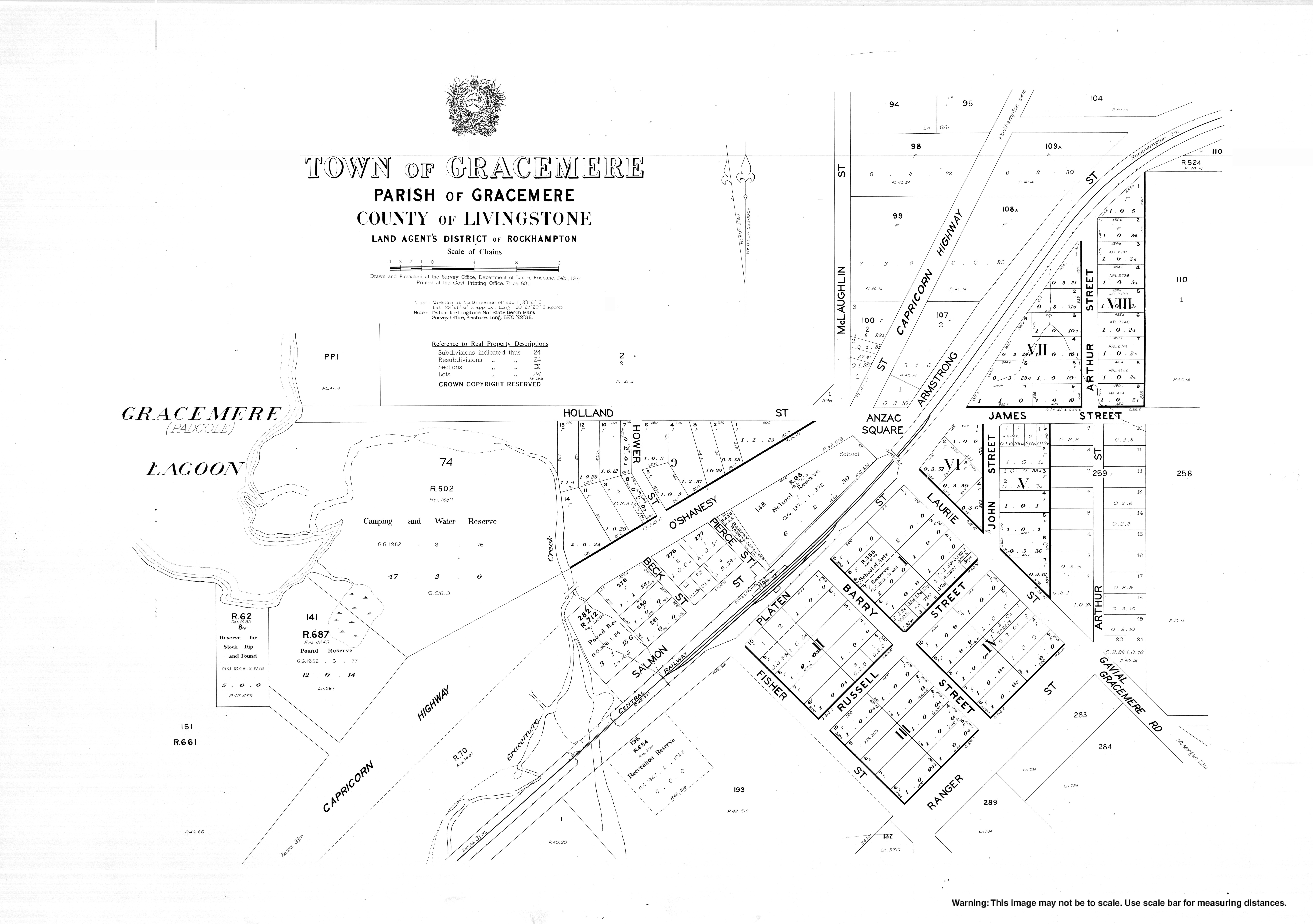
The area was first explored by Europeans in 1853, when the Archer brothers arrived looking for pastures for their sheep. They settled by a small lake, originally called "Farris" or Padgole lagoon which was named Gracemere in 1855. The name Gracemere comes from "Grace", the name of Thomas Archer's wife and "mere" which is a Scottish term for lake. [2] [3] They also located a suitable landing point for supplies on the nearby Fitzroy River, which later became Rockhampton.
In July 1855, Charles and Thomas Archer with around 30 other people including four Native Police troopers, four Aboriginal men from the Burnett River and their wives, left the Archer's Eidsvold pastoral station in order to construct the Gracemere run. The Commissioner for Crown Lands in the Leichhardt region, William Wiseman, joined them to help locate the most appropriate area, and in August 1855 they determined the area next to the current Gracemere lagoon was best. The local Aboriginals led by "King Harold" wished to obtain peaceful conditions with the Archer brothers and in return for allowing the indigenous people to live in the area, the Archer brothers utilised Harold's people to aid in forcibly "restraining the outside blacks" who were resisting British occupation. [8]
Gracemere State School opened on 20 February 1871. [9]
As Gracemere developed as a dormitory town, further schools were needed with Waraburra State School opening on 27 January 1987 and St Paul's Catholic Primary School opening on 27 January 1988. [9]
At the 2011 census, the town of Gracemere had a population of 8,401. [10]
In the 2016 census, the locality of Gracemere had a population of 11,315 people. [1]
The Big G was unveiled at the entrance to the Gracemere Industrial Park on 18 August 2015. [11]
Gracemere public library opened in August 2017. It was welcomed by local residents as Gracemere was formerly in the Shire of Fitzroy which had no public libraries. [12] [13]
Gracemere Shoppingworld opened in December 2014 with Woolworths and Best & Less operating as the anchor stores along with up to 20 speciality stores. [14]
Gracemere has a number of heritage-listed sites, including:
Gracemere, as a commuter town, has a relatively low level of industry compared to Rockhampton.
Grazing, particularly of beef cattle, has long been the significant industry of the area. The Central Queensland Livestock Exchange (formerly the Gracemere Saleyards) is on the western side of the town. It is the largest cattle sales facility in the Southern Hemisphere and commenced a multimillion-dollar upgrade in 2019. [16] [17] It is at 16 Saleyards Road ( 23°26′34″S150°26′17″E / 23.4427°S 150.4381°E ) on a 12.16-hectare (30.0-acre) site. [18] [5]
Gracemere is rapidly expanding with around 10 new housing estates under construction. [19]
There are three schools servicing Gracemere. They are all primary, one Catholic and two public.
Gracemere State School is a government primary (Prep-6) school for boys and girls at O'Shanesy Street ( 23°26′06″S150°27′14″E / 23.4351°S 150.4539°E ). [20] [21] In 2017, the school had an enrolment of 302 students with 23 teachers (18 full-time equivalent) and 16 non-teaching staff (11 full-time equivalent). [22] It includes a special education program. [20]
Waraburra State School is a government primary (Prep-6) school for boys and girls at 55 Johnson Road ( 23°26′53″S150°27′09″E / 23.4481°S 150.4526°E ). [20] [23] In 2017, the school had an enrolment of 492 students with 34 teachers (33 full-time equivalent) and 24 non-teaching staff (16 full-time equivalent). [22] It includes a special education program. [20]
St Paul's Catholic Primary School is a Catholic primary (Prep-6) school for boys and girls at Breakspear Street ( 23°26′59″S150°27′53″E / 23.4496°S 150.4647°E ). [20] [24] In 2017, the school had an enrolment of 310 students with 19 teachers (18 full-time equivalent) and 13 non-teaching staff (8 full-time equivalent). [22]
There are no secondary schools in Gracemere. The nearest government secondary schoolis Rockhampton State High School in Wandal, Rockhampton. [5] Currently, all high school students travel by a free bus service into Rockhampton to continue their senior education.
Gracemere Shoppingworld is bounded by O'Shanesy Street, McLaughlin Street and the Capricorn Highway ( 23°26′01″S150°27′12″E / 23.4337°S 150.4533°E ). [25]
The Rockhampton Regional Council operate a public library in Gracemere at 1 Ranger Street ( 23°26′24″S150°27′27″E / 23.4399°S 150.4575°E ). [26]
The Gracemere branch of the Queensland Country Women's Association meets at the Guide Hut in James Street. [27]
The entrance to the Gracemere Industrial Park has the Big G, one of Australia's big things. It is in the shape of a capital letter G and is 5 by 6.6 metres (16 by 22 ft) in size and is made from 5 tonnes (5.5 tons) of mild steel. It is on the southern corner of Somerset Road and Enterprise Drive ( 23°27′19″S150°25′15″E / 23.4553°S 150.4209°E ). [28] [11]
As a dormitory town, most Gracemerians either drive a private vehicle or catch a bus to the city. The bus service, Young's Bus Service, operates hourly between the town centre and South Gracemere. Traffic can peak at around 8:00 in the morning, with traffic being banked up for around 1-1.5 kilometres on weekdays. Infrastructure problems are now becoming a reality for the small town and surrounding Capricorn Highway towns. This has resulted in constant roadworks and upgrades of the highway road quality. This mass influx of vehicles has resulted in a proposal for a new western bypass for Rockhampton, to send vehicles right to the northern suburbs, avoiding inner city congestion and delay, as this is where many Gracemerians work.
Rockhampton is a city in the Rockhampton Region of Central Queensland, Australia. In the 2021 census, the population of Rockhampton was 79,293.
Yeppoon is a coastal town and locality in the Shire of Livingstone, Queensland, Australia. Yeppoon is renowned for its beaches, tropical climate, and the islands out on the bay. Located 41 kilometres (25 mi) from the city of Rockhampton, Yeppoon is the seat of the Shire of Livingstone and the principal town on the Capricorn Coast, a string of seaside communities stretching more than 150 kilometres (93 mi) from north to south. The beaches and shallow coves provide a destination both for tourists and retirees settling down in Central Queensland. Offshore, there are 27 islands including Great Keppel Island which is 20 kilometres (12 mi) from Yeppoon. In the 2021 census, the locality of Yeppoon had a population of 7,037 people; this does not include any neighbouring suburbs.
The Capricorn Coast is a stretch of coastline in Central Queensland, Australia and is part of the Shire of Livingstone.
Emu Park is a coastal town and locality on the Capricorn Coast located 21 kilometres (13 mi) south of Yeppoon in Queensland, Australia. It is within the local government area of Shire of Livingstone. In the 2016 census the locality of Emu Park had a population of 2,130 people.
Anakie Siding is a rural locality in the Central Highlands Region, Queensland, Australia. The town of Anakie is within the locality. It is a sapphire mining area. In 2021 census, the locality of Anakie Siding had a population of 155 people.
Berserker is a suburb of Rockhampton in the Rockhampton Region, Queensland, Australia. It is situated about six kilometres north east of the central business district.
The Archer brothers were among the earliest European settlers in Queensland, Australia. They were explorers and pastoralists. Seven sons of William Archer, a Scottish timber merchant, they spent varying amounts of time in the colony of New South Wales, mainly in parts of what later became Queensland. A substantial number of locations in Queensland were either named by or for them. They were, in order of birth:
Koongal is a suburb of Rockhampton in the Rockhampton Region, Queensland, Australia. At the 2016 census, Koongal had a population of 4,286 people.
Kabra is a rural town and locality in the Rockhampton Region, Queensland, Australia. In the 2016 census the locality of Kabra had a population of 421 people.
Stanwell is a rural town and locality in the Rockhampton Region, Queensland, Australia. In the 2016 census the locality of Stanwell had a population of 337 people.
Bajool is a rural town and locality in the Rockhampton Region, Queensland, Australia. In the 2016 census, the locality of Bajool had a population of 455 people.
Gogango is a rural town and locality in the Rockhampton Region, Queensland, Australia. In the 2016 census the locality of Gogango had a population of 111 people.
Canoona is a rural locality in the Livingstone Shire, Queensland, Australia. It was the site of the first North Australian gold rush. In the 2021 census, Canoona had a population of 90 people.
Yaamba is a rural town and locality in the Livingstone Shire, Queensland, Australia. In the 2016 census, the locality of Yaamba had a population of 62 people.
Mount Chalmers is a rural town and locality in the Livingstone Shire, Queensland, Australia. In the 2016 census, the locality of Mount Chalmers had a population of 235 people.
Fairy Bower is a suburb in the Rockhampton Region, Queensland, Australia. In the 2016 census Fairy Bower had a population of 97 people.
Port Curtis is a suburb of Rockhampton in the Rockhampton Region, Queensland, Australia. In the 2016 census, Port Curtis had a population of 281 people.
Pink Lily is a rural locality in the Rockhampton Region, Queensland, Australia. In the 2016 census Pink Lily had a population of 231 people. The proposed Rockhampton Ring Road will pass through Pink Lily.
Nine Mile is a rural locality in the Rockhampton Region, Queensland, Australia. In the 2021 census, Nine Mile had a population of 84 people.
Rockhampton–Emu Park Road is a continuous 44.1 kilometres (27.4 mi) road route in the Rockhampton and Livingstone local government areas of Queensland, Australia. The route is designated as State Route 4 (Regional) and Tourist Drive 10. It is a state-controlled regional road.