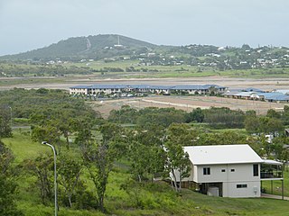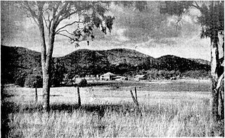
Westwood is a town in the Rockhampton Region and a locality split between the Rockhampton Region and the Shire of Banana in Queensland, Australia. It was the first town that was gazetted by the Queensland Government. In the 2021 census, the locality of Westwood had a population of 199 people.

Kinka Beach is a coastal rural locality in the Livingstone Shire, Queensland, Australia. In the 2016 census, Kinka Beach had a population of 621 people.

Dululu is a rural town and locality in the Shire of Banana, Queensland, Australia. In the 2016 census, the locality of Dululu had a population of 126 people.

Zilzie is a coastal locality in the Livingstone Shire, Queensland, Australia. In the 2021 census, Zilzie had a population of 2,846 people.
Coowonga is a rural locality in the Shire of Livingstone, Central Queensland, Australia. In the 2021 census, Coowonga had a population of 255 people.

Baree is a rural locality in the Rockhampton Region, Queensland, Australia. In the 2021 census, Baree had a population of 201 people.

Bouldercombe is a rural town and locality in the Rockhampton Region, Queensland, Australia. In the 2016 census, the locality of Bouldercombe had a population of 1,085 people.

Morinish is a rural locality in the Rockhampton Region, Queensland, Australia. In the 2021 census, Morinish had a population of 62 people.
Struck Oil is a rural locality in the Rockhampton Region, Queensland, Australia. In the 2021 census, Struck Oil had a population of 151 people.

Yaamba is a rural town and locality in the Livingstone Shire, Queensland, Australia. In the 2016 census, the locality of Yaamba had a population of 62 people.

Mount Chalmers is a rural town and locality in the Livingstone Shire, Queensland, Australia. In the 2016 census, the locality of Mount Chalmers had a population of 235 people.

Ridgelands is a rural locality in the Rockhampton Region, Queensland, Australia. In the 2016 census Ridgelands had a population of 166 people.
Dalma is a rural locality in the Rockhampton Region, Queensland, Australia. In the 2016 census, Dalma had a population of 78 people.
Garnant is a rural locality in the Rockhampton Region, Queensland, Australia. In the 2016 census Garnant had a population of 99 people.
Pink Lily is a rural locality in the Rockhampton Region, Queensland, Australia. In the 2016 census Pink Lily had a population of 231 people. The proposed Rockhampton Ring Road will pass through Pink Lily.

Lawgi Dawes is a rural locality in the Shire of Banana, Queensland, Australia. In the 2016 census, Lawgi Dawes had a population of 144 people. It contains the neighbourhood of Lawgi, a former town.

Nine Mile is a rural locality in the Rockhampton Region, Queensland, Australia. In the 2021 census, Nine Mile had a population of 84 people.

Boulder Creek is a rural locality in the Rockhampton Region, Queensland, Australia. In the 2021 census, Boulder Creek had a population of 13 people.
Limestone is a rural locality in the Rockhampton Region, Queensland, Australia. In the 2021 census, Limestone had a population of 16 people.

Moongan is a rural locality in the Rockhampton Region, Queensland, Australia. In the 2021 census, Moongan had a population of 120 people.


