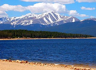
Mount Elbert is the highest summit of the Rocky Mountains of North America and the highest point in the U.S. state of Colorado and the entire Mississippi River drainage basin. The ultra-prominent 14,440-foot (4401.2 m) fourteener is the highest peak in the Sawatch Range and the second-highest summit in the contiguous United States after Mount Whitney. Mount Elbert is located in San Isabel National Forest, 12.1 miles (19.4 km) southwest of the City of Leadville in Lake County, Colorado.

Mount Tyree (4852m) is the second highest mountain of Antarctica located 13 kilometres northwest of Vinson Massif (4,892 m), the highest peak on the continent. It surmounts Patton Glacier to the north and Cervellati Glacier to the southeast.

Mount Agou is the highest mountain in Togo at 986 metres (3234 ft.). Near the Ghana border, it lies to the south east of Kpalimé in the Plateaux Region of Togo. Mount Agou is part of an extreme western outlier of the Atakora Mountains of adjacent Benin. Its summit is topped by an antenna.

Mount Antero is the highest summit of the southern Sawatch Range of the Rocky Mountains of North America. The prominent 14,276-foot (4351.4 m) fourteener is located in San Isabel National Forest, 12.2 miles (19.6 km) southwest by south of the Town of Buena Vista in Chaffee County, Colorado, United States. The mountain is named in honor of Chief Antero of the Uintah band of the Ute people.

Mount Frissell, 2,454 feet (748 m), located on the border of southwest Massachusetts and northwest Connecticut, is a prominent peak of the Taconic Range.
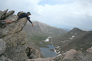
The Sawtooth is a jagged arête joining Mount Bierstadt to (eventually) Mount Evans in the Front Range of central Colorado. The three points along this arête resemble the teeth of a saw, leading to its name. The southeast wall of the arête is the head of the cirque above Abyss Lake, while its northwest wall is the cirque at the head of a valley above Guanella Pass. The northeast end of the sawtooth joins directly to the shoulder of Mount Spalding, from which a second arête leads southeast to Mount Evans. This second arête divides the glacial valley of Abyss Lake to the southwest from the cirque of Summit Lake, to the northeast.
The Lake House is an historic tavern located at the Waterford Flat area of Waterford in Maine. It is an inn and restaurant north of Keoka Lake and near Mount Tire'm.

Mount Rosa is a mountain summit of the Pikes Peak Massif in the southern Front Range of the Rocky Mountains of North America. The 11,504-foot (3,506 m) peak is located in Pike National Forest, 12.8 miles (20.6 km) southwest by west of downtown Colorado Springs in Teller County, Colorado, United States.
Bitch Mountain is a summit in Essex County, New York, in the United States. With an elevation of 2,615 feet (797 m), Bitch Mountain is the 424th highest summit in the state of New York.
Lead Mountain is a summit in Custer County, Colorado, in the United States. It is in the Wet Mountain Range. With an elevation of 9,731 feet (2,966 m), Lead Mountain is the 2343rd highest summit in the state of Colorado.

Mount Ida is a mountain summit in the northern Front Range of the Rocky Mountains of North America. The 12,865-foot (3,921 m) peak is located in the Rocky Mountain National Park Wilderness, 13.4 miles (21.6 km) west of the Town of Estes Park, Colorado, United States, on the Continental Divide between Grand and Larimer counties. The mountain was probably named after Mount Ida on Crete.
Mount Neva is a summit in Grand County, Colorado, in the United States. With an elevation of 12,821 feet (3,908 m), Mount Neva is the 720th highest summit in the state of Colorado.
Mount Horrid is a summit in Addison and Windsor counties, Vermont in the United States. With an elevation of 3,205 feet (977 m), Mount Horrid is the 83rd highest summit in the state of Vermont.
Terrible Mountain is a summit in Gunnison County, Colorado, in the United States. With an elevation of 11,791 feet (3,594 m), Terrible Mountain is the 1337th highest summit in the state of Colorado.
Dirty Mountain is a summit in Albany County, Wyoming, in the United States. With an elevation of 8,340 feet (2,540 m), Dirty Mountain is the 764th highest summit in the state of Wyoming.
Clark Mountain is a summit in Androscoggin County, Maine, in the United States. With an elevation of 682 feet (208 m), Clark Mountain is the 1434 highest summit in the state of Maine.
Mount Leidy is a summit in Teton County, Wyoming, in the United States. With an elevation of 10,233 feet (3,119 m), Mount Leidy is the 424th highest summit in the state of Wyoming.
Wagontire Mountain is a summit in the U.S. state of Oregon. With an elevation of 6,440 feet (1,960 m), Wagontire Mountain is the 435th highest summit in the state of Oregon.